County Cork
Liegt in Munster, Irland Koordinaten: 51°58′00″ N 8°35′00″ W
Der Name dieses Ortes wurde in dieser Sprache noch nicht verifiziert und wird in der Originalform angezeigt.
- Einwohner
- 584.156
- 584.156
- Höhe
- 93 m
- über dem Meeresspiegel
- Ortszeit
- UTC+00:00
- Europe/Dublin · UTC+00:00
- Orte darin
- 1.808
- unter County Cork verzeichnet
Über County Cork
County Cork ist ein Bezirk. Lage: Munster, Irland. Einwohner: 584.156.
Im Vergleich
- 16 Sehenswürdigkeiten und Naturorte im Umkreis von 10 km Waterloo, River Martin
- Hier verzeichnet: Dorf: 1.072, Berg: 251, Fluss: 128, Naturgebiet: 118
Orte in County Cork
1.808 Orte-
Gneeves Dorf
-
Goat Island Insel
-
Goat Island Little Insel
-
Goat Islands Insel
-
Goleen Dorf
-
Goleen Section Stadtteil
-
Goleen Strand Strand
-
Goolaway Cross Roads Dorf
-
Gortafludig Dorf
-
Gortaghig Berg
-
Gortaroo Dorf
-
Gortavadda Bridge Dorf
-
Gortaveer Dorf
-
Gortearagh Dorf
-
Gortgarriff Dorf
-
Gortloughra Bridge Dorf
-
Gortnaclasha Dorf
-
Gortnacrue Dorf
-
Gortnagappul Dorf
-
Gortnagross Dorf
-
Gortnakilly Dorf
-
Gortnaloughra Dorf
-
Gortnalour Berg
-
Gortroche Dorf
-
Gortroe Dorf
-
Gortroe Cross Roads Dorf
-
Gothic Bridge Dorf
-
Gouganeharra Forest Park Naturgebiet
-
Goulacullin Dorf
-
Gouladane Dorf
-
Gouladane Berg
-
Gouladoo Dorf
-
Gour Bridge Dorf
-
Gowlane North Dorf
-
Gowlane South Dorf
-
Gowlbeg Mountain Berg
-
Graigue Bridge Dorf
-
Graig Upper Dorf
-
Grange Dorf
-
Grange Dorf
-
Grange Dorf
-
Grange Dorf
-
Grange Hill Dorf
-
Great Island Insel
-
Greenfort Dorf
-
Greenhall Dorf
-
Green Hill Berg
-
Greenville Dorf
-
Gullamore Berg
-
Gurteenastooka Dorf
-
Gurteenulla Dorf
-
Gyleen Dorf
-
Hake Head Naturgebiet
-
Harbour Hill Berg
-
Hare Hill Berg
-
Hare Island Insel
-
Harper’s Island Insel
-
Haulbowline Island Insel
Sehenswertes & Natur in der Nähe
Alles in der Nähe-
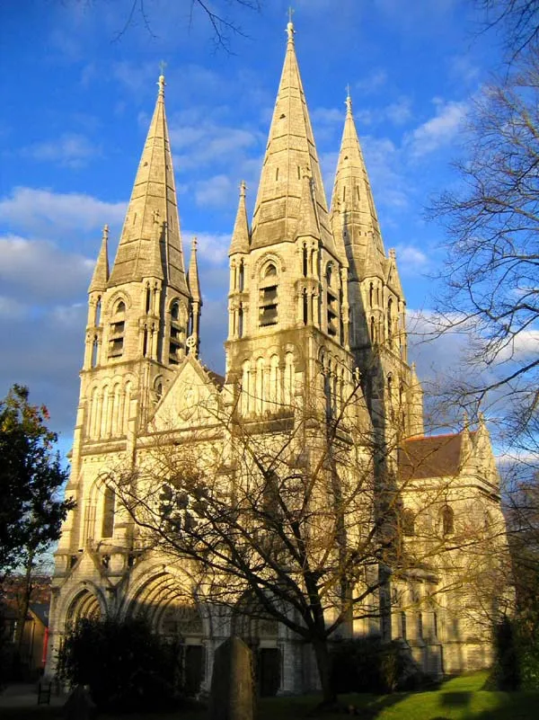 Saint Fin Barre's Cathedral Sehenswürdigkeit, Cork City11 km SO
-
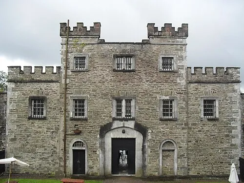 Cork City Gaol Museum, Cork City9,5 km SO
Quellen & Lizenzen
Daten zuletzt aktualisiert: