Shetlandinseln
Liegt in Schottland, Vereinigtes Königreich Koordinaten: 60°20′00″ N 1°20′00″ W
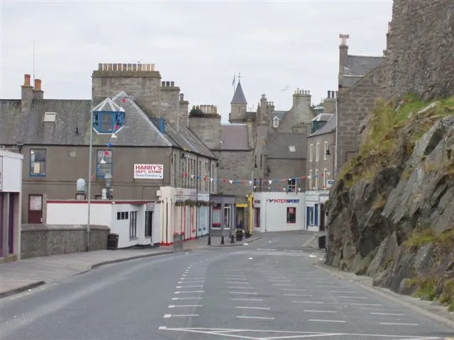
- Einwohner
- 23.190
- 23.190
- Höhe
- 134 m
- über dem Meeresspiegel
- Ortszeit
- UTC+00:00
- Europe/London · UTC+00:00
- Orte darin
- 1.160
- unter Shetlandinseln verzeichnet
- Flughäfen
- LSI Sumburgh Airport51 km
- EOI Eday Airport151 km
Über Shetlandinseln
Shetlandinseln ist ein Bezirk. Lage: Schottland, Vereinigtes Königreich. Einwohner: 23.190. Nächster Flughafen: Sumburgh Airport (51 km).
Fotos: Shetlandinseln
-
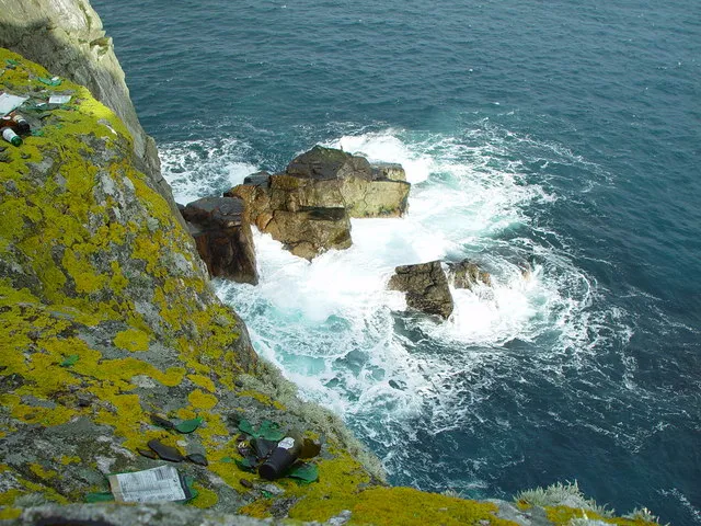
Whalsay John Dally · CC BY-SA 2.0 -
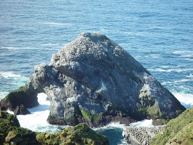
Unst John Dally · CC BY-SA 2.0 -
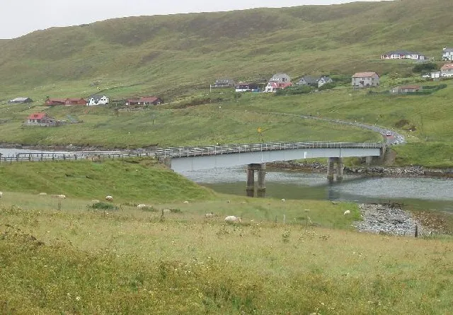
Trondra Rog Frost · CC BY-SA 2.0 -
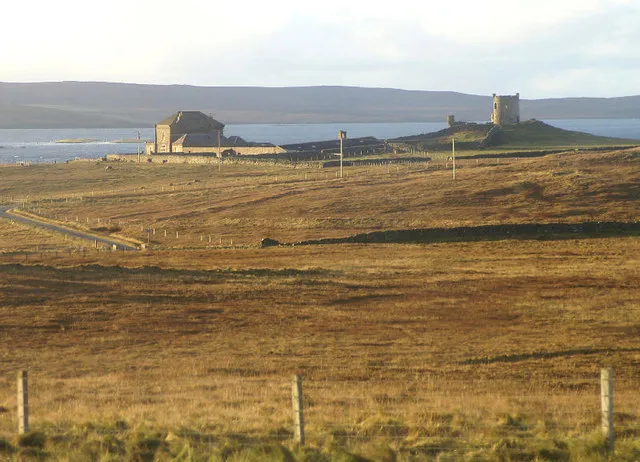
Fetlar Mike Pennington · CC BY-SA 2.0 -
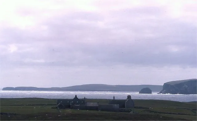
Uyea Mike Pennington · CC BY-SA 2.0


Klima in Shetlandinseln
Dieser Monat · November
Ein regenreicher Monat
Tag 7° · Nacht 3° · Regen 153 mm
- Wärmster Monat
- August (Tag 14°)
- Kältester Monat
- Februar (Nacht 1°)
- Nassester Monat
- November (153 mm)
- Trockenster Monat
- Mai (55 mm)
Balken: mittlere Monatstiefst- und -höchsttemperatur. Darunter: Niederschlag. Monatsmittel 1970–2000 bei etwa 18 km Auflösung, höhenkorrigiert. Hervorgehobene Monate sind mild und relativ trocken. Quelle: WorldClim 2.1 (CC BY 4.0).
Werte als Tabelle anzeigen
| Monat | Jan | Feb | Mär | Apr | Mai | Jun | Jul | Aug | Sep | Okt | Nov | Dez |
|---|---|---|---|---|---|---|---|---|---|---|---|---|
| Mittleres Maximum (°C) | 5° | 5° | 6° | 8° | 10° | 12° | 14° | 14° | 12° | 10° | 7° | 6° |
| Mittleres Minimum (°C) | 1° | 1° | 2° | 3° | 5° | 7° | 9° | 9° | 8° | 6° | 3° | 2° |
| Niederschlag (mm) | 137 | 107 | 125 | 76 | 55 | 60 | 60 | 79 | 118 | 135 | 153 | 146 |
Anreise nach Shetlandinseln
Nächster Flughafen ist Sumburgh Airport (LSI), Luftlinie 51 km Richtung Süden. Nächste Großstadt ist Aberdeen, 358 km Richtung Süden.
Flughäfen
- Sumburgh Airport (LSI) Lerwick, Shetland 51 kmSüden
- Eday Airport (EOI) Eday 151 kmSüdwesten
- Kirkwall Airport (KOI) Kirkwall, Orkney Islands 177 kmSüdwesten
Großstädte in der Nähe
- Aberdeen Einwohner: 198.590 358 kmSüden
- Bergen Einwohner: 294.029 367 kmOsten
Luftlinie; die Straßenentfernung ist länger. Flughafendaten: OurAirports.
Tagesausflüge ab Shetlandinseln
Im Umkreis von 100 km: 13 historische und kulturelle Stätten, 604 Naturorte, 270 Seen, Flüsse und Küsten.
0–25 km492 Orte
- Shetland Islands Insel 5 kmO
- Whalsay Insel 19 kmO
- Trondra Insel 24 kmS
- East Ward Insel 20 kmSW
25–60 km335 Orte
- Unst Insel 53 kmNO
- Fetlar Insel 41 kmNO
- Little Ossa Insel 28 kmNW
- North Head Naturgebiet 26 kmNW
60–100 km60 Orte
- Urashield Berg 89 kmS
- Sheep Rock Berg 91 kmS
- Skroo Berg 89 kmS
- Wirrvie Burn Fluss 89 kmS
Luftlinie.
Orte in Shetlandinseln
1.160 OrteStädte & Dörfer15
Berge & Natur19
- Holm of Noss · Berg
- Holpur · Berg
- Hoo Field · Berg
- Hoo Field · Berg
- Hoo Kame · Berg
- Hos Wick · Naturgebiet
- Houlland Hill · Berg
- Houllna Gruna · Berg
- Houllnan Ness · Naturgebiet
- Housa Field · Berg
- Housa Voe · Naturgebiet
- Housa Wick · Naturgebiet
- Housay Field · Berg
- Houss Ness · Naturgebiet
- Hu Field · Berg
- Hundi Stack · Berg
- Hurda Field · Berg
- Huxter · Naturgebiet
- Hyter · Berg
Seen, Flüsse & Küsten26
- Holm of Melby · Insel
- Holm of Nibon · Insel
- Holm of Papil · Insel
- Holm of Quoyness · Insel
- Holm of Sandwick · Insel
- Holm of Setter · Insel
- Holm of Skaw · Insel
- Holm of Skellister · Insel
- Holm of Sound · Insel
- Holm of Tafts · Insel
- Holm of Tressaness · Insel
- Holm of Tronafirth · Insel
- Holm of West Sandwick · Insel
- Holms of Uyea-sound · Insel
- Hoove Holm · Insel
- Horse Island · Insel
- Housay Island · Insel
- Hoy Island · Insel
- Hunder Holm · Insel
- Huney Island · Insel
- Hunts Holm · Insel
- Il Holm · Insel
- Inner Flaess · Insel
- Inner Holm of Skaw · Insel
- Inner Score · Insel
- Inns Holm · Insel
Quellen & Lizenzen
Daten zuletzt aktualisiert: