Bade-Wurtemberg
Nom local: Baden-Württemberg
Situé dans Allemagne Coordonnées: 48°30′00″ N 9°00′00″ E
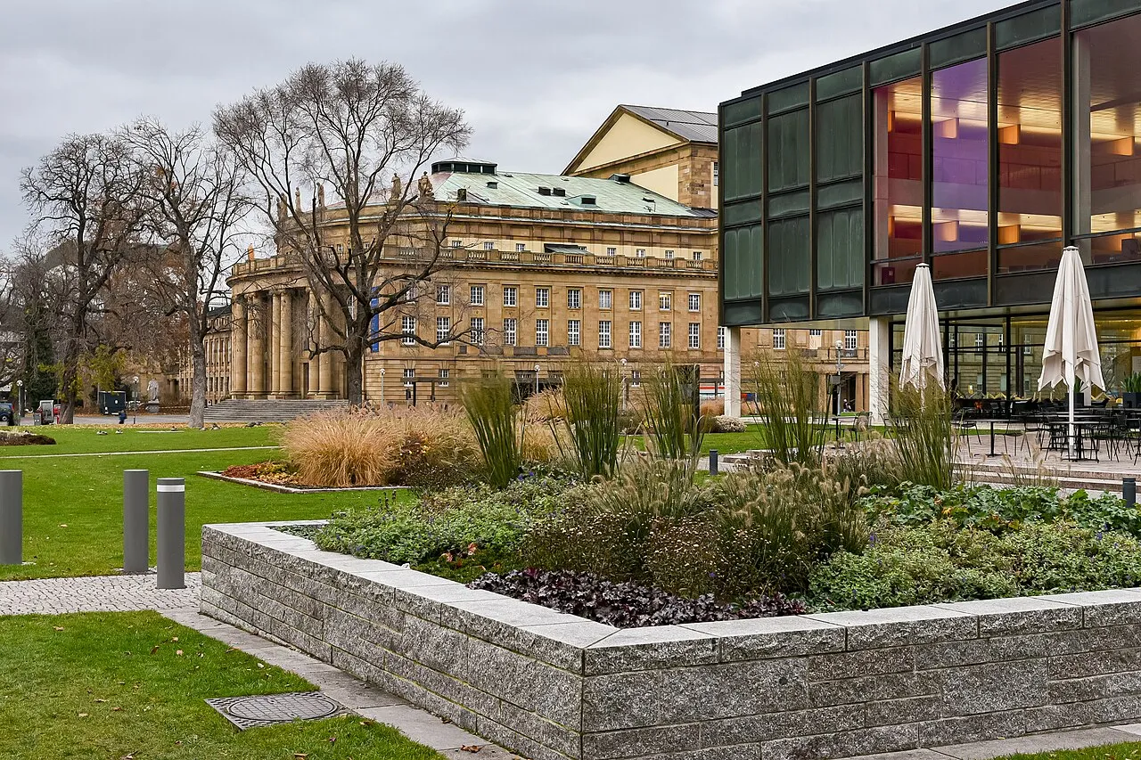
- Population
- 11 111 496
- 11,1 M
- Altitude
- 327 m
- au-dessus du niveau de la mer
- Heure locale
- UTC+01:00
- Europe/Berlin · UTC+01:00
- Lieux rattachés
- 2 041
- classés sous Bade-Wurtemberg
À propos : Bade-Wurtemberg
Bade-Wurtemberg est une région. Situation : Allemagne. Population : 11 111 496.
Le Bade-Wurtemberg ([bad.vyʁ.tɑ̃.bɛʁ(ɡ)]), parfois Bade-Wurtenberg ou Baden-Wurtenberg (en allemand : Baden-Württemberg, prononcé en allemand : /ˈbaː.dən ˈvʏʁ.təm.ˌbɛʁk/ ) est un Land du Sud de l’Allemagne. Sa capitale est la plus grande ville, Stuttgart. Avec une superficie de 35 751,46 km2 et 11 100 394 habitants en 2019, il est le troisième Land allemand par la superficie et la population.
Lire la suite sur Wikipédia Texte : contributeurs de Wikipédia · CC BY-SA 4.0 · abrégé
En bref
- Construction
- 1952
- Superficie
- 35 752 km²
Source : Wikidata
En comparaison
- 80 sites et lieux naturels à moins de 10 km Mühlbach, Großer Spitzberg
- Recensés ici : Site naturel: 1 021, Cours d’eau: 911, Lac: 66, Montagne: 26
Lieux : Bade-Wurtemberg
2 041 lieux-
Himmelreichhalde Site naturel
-
Hinterbach Cours d’eau
-
Hinterer Seelach Site naturel
-
Hinterer Steinwald Site naturel
-
Hinter Wald Site naturel
-
Hinter Weiher Lac
-
Hirschach Site naturel
-
Hirschgarten Site naturel
-
Hirschlandbach Cours d’eau
-
Hirschreute Site naturel
-
Hochbuch Site naturel
-
Hochbuch Site naturel
-
Hochholz Site naturel
-
Hochholz Site naturel
-
Hochholz Site naturel
-
Hochschwarzwald Montagne
-
Hochwald Site naturel
-
Hochwald Site naturel
-
Hochwald Site naturel
-
Hochwald Site naturel
-
Hochwald Site naturel
-
Hofstetterbach Cours d’eau
-
Hohberg Site naturel
-
Hohe Brach Site naturel
-
Hohe Eichen Site naturel
-
Hohelist Montagne
-
Hohenbühl Site naturel
-
Hohenreute Site naturel
-
Hohenschlag Site naturel
-
Hohenstein Site naturel
-
Hohentwiel Montagne
-
Hohenwart Site naturel
-
Hohenzollern Alb Montagne
-
Hohhart Site naturel
-
Hohlenbach Cours d’eau
-
Hohlerwald Site naturel
-
Hohlwiesengraben Cours d’eau
-
Hohmiß Site naturel
-
Holchenbach Cours d’eau
-
Holderbach Cours d’eau
-
Höllenbach Cours d’eau
-
Höllenbach Cours d’eau
-
Höllental Site naturel
-
Höllental Site naturel
-
Hollerbach Cours d’eau
-
Höllwald Site naturel
-
Holtzspitze Site naturel
-
Holzbach Cours d’eau
-
Holzbach Cours d’eau
-
Hölzersee Lac
-
Holzgraben Cours d’eau
-
Holzhausen Site naturel
-
Holzmühleweiher Lac
-
Holzstöcke Site naturel
-
Holzwald Site naturel
-
Homberg Site naturel
-
Homburg Site naturel
-
Hönig Site naturel
-
Hörle Site naturel
-
Horn Site naturel
Principales villes
-
Karlsruhe Ville, Karlsruhe283,8 k
-
Arrondissement de Reutlingen Commune, District de Tübingen293,5 k
-
Arrondissement de Brisgau-Haute-Forêt-Noire Commune, District de Fribourg272,6 k
-
Stuttgart Village, Stadtkreis Stuttgart612,7 k
Nature et patrimoine : Bade-Wurtemberg
-
Hohentwiel Montagne, Singen (Hohentwiel)
-
Camp de concentration de Hessental Site historique, Schwäbisch Hall800
Sources et licences
Données mises à jour le: · 2 sources indépendantes