Bade-Wurtemberg
Nom local: Baden-Württemberg
Situé dans Allemagne Coordonnées: 48°30′00″ N 9°00′00″ E
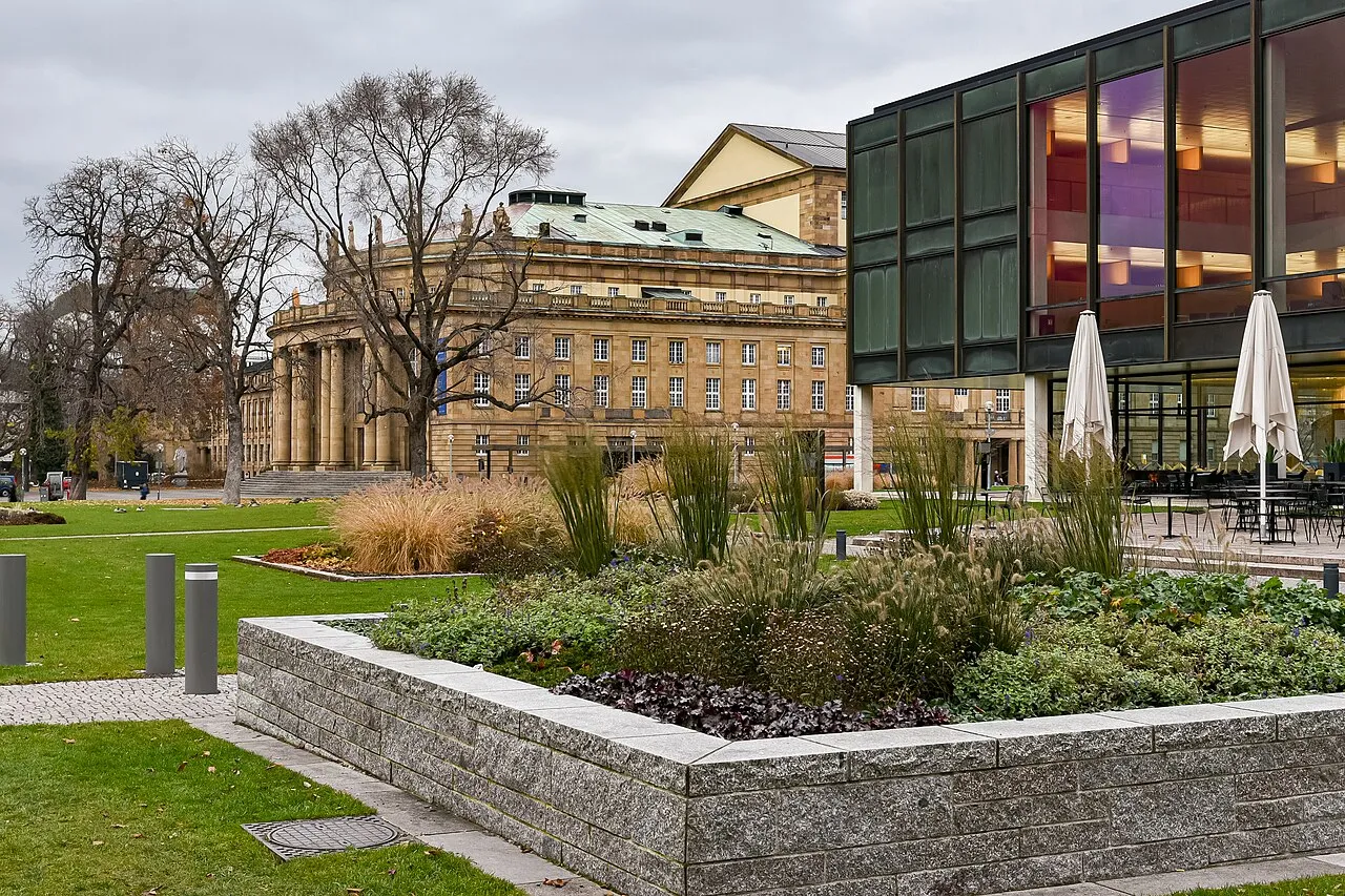
- Population
- 11 111 496
- 11,1 M
- Altitude
- 327 m
- au-dessus du niveau de la mer
- Heure locale
- UTC+01:00
- Europe/Berlin · UTC+01:00
- Lieux rattachés
- 2 041
- classés sous Bade-Wurtemberg
À propos : Bade-Wurtemberg
Bade-Wurtemberg est une région. Situation : Allemagne. Population : 11 111 496.
Le Bade-Wurtemberg ([bad.vyʁ.tɑ̃.bɛʁ(ɡ)]), parfois Bade-Wurtenberg ou Baden-Wurtenberg (en allemand : Baden-Württemberg, prononcé en allemand : /ˈbaː.dən ˈvʏʁ.təm.ˌbɛʁk/ ) est un Land du Sud de l’Allemagne. Sa capitale est la plus grande ville, Stuttgart. Avec une superficie de 35 751,46 km2 et 11 100 394 habitants en 2019, il est le troisième Land allemand par la superficie et la population.
Lire la suite sur Wikipédia Texte : contributeurs de Wikipédia · CC BY-SA 4.0 · abrégé
En bref
- Construction
- 1952
- Superficie
- 35 752 km²
Source : Wikidata
En comparaison
- 80 sites et lieux naturels à moins de 10 km Mühlbach, Großer Spitzberg
- Recensés ici : Site naturel: 1 021, Cours d’eau: 911, Lac: 66, Montagne: 26
Lieux : Bade-Wurtemberg
2 041 lieux-
Kleine Wiese Cours d’eau
-
Klemmbach Cours d’eau
-
Klingenbach Cours d’eau
-
Klingenbach Cours d’eau
-
Klingengraben Cours d’eau
-
Klingensteiner Wald Site naturel
-
Klingerbach Cours d’eau
-
Klöpferbach Cours d’eau
-
Klosterbach Cours d’eau
-
Klosterwald Site naturel
-
Klosterwald Site naturel
-
Klosterwald Site naturel
-
Kloster Wald Site naturel
-
Klusenwald Site naturel
-
Knabenkreuz Site naturel
-
Kneblezbächle Cours d’eau
-
Kniebach Cours d’eau
-
Knollenbach Cours d’eau
-
Kocher Cours d’eau
-
Kocherursprung Site naturel
-
Kohl Site naturel
-
Kohlbach Cours d’eau
-
Kohlenbühl Site naturel
-
Köhler Site naturel
-
Kohlerhau Site naturel
-
Kohlesbach Cours d’eau
-
Kohlhau Site naturel
-
Kohlhau Site naturel
-
Kohlhau Site naturel
-
Kohlholz Site naturel
-
Kohlwald Site naturel
-
Kohlwald Site naturel
-
Kohlwald Site naturel
-
Kohlwald Site naturel
-
Kohlwald Site naturel
-
Kolben Site naturel
-
Kolberbuch Site naturel
-
Kollbach Cours d’eau
-
Köllbach Cours d’eau
-
Kompromißbach Cours d’eau
-
Köngentobel Site naturel
-
Königseggsee Lac
-
Königswald Site naturel
-
Korker Wald Site naturel
-
Korrißwinkel Site naturel
-
Körsch Cours d’eau
-
Köthach Cours d’eau
-
Krähebach Cours d’eau
-
Krähenbach Cours d’eau
-
Krähenbach Cours d’eau
-
Krähenbach Cours d’eau
-
Krähwald Site naturel
-
Kraichbach Cours d’eau
-
Krämersreute Site naturel
-
Krebsbach Cours d’eau
-
Krebsbach Cours d’eau
-
Krebsbach Cours d’eau
-
Krebsbach Cours d’eau
-
Krebsbach Cours d’eau
-
Krebsbach Cours d’eau
Principales villes
-
Karlsruhe Ville, Karlsruhe283,8 k
-
Arrondissement de Reutlingen Commune, District de Tübingen293,5 k
-
Arrondissement de Brisgau-Haute-Forêt-Noire Commune, District de Fribourg272,6 k
-
Stuttgart Village, Stadtkreis Stuttgart612,7 k
Nature et patrimoine : Bade-Wurtemberg
-
Hohentwiel Montagne, Singen (Hohentwiel)
-
Camp de concentration de Hessental Site historique, Schwäbisch Hall800
Sources et licences
Données mises à jour le: · 2 sources indépendantes