Basse-Autriche
Nom local: Donja Austrija
Situé dans Autriche Coordonnées: 48°20′00″ N 15°45′00″ E
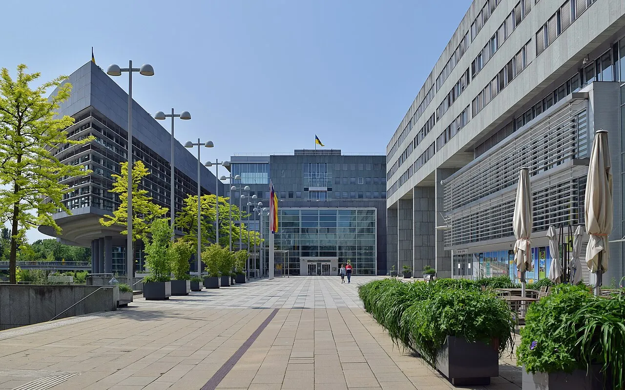
- Population
- 1 698 796
- 1,7 M
- Altitude
- 279 m
- au-dessus du niveau de la mer
- Heure locale
- UTC+01:00
- Europe/Vienna · UTC+01:00
- Lieux rattachés
- 879
- classés sous Basse-Autriche
À propos : Basse-Autriche
Basse-Autriche est une région. Situation : Autriche. Population : 1 698 796.
La Basse-Autriche (en allemand : Niederösterreich) est le plus étendu des États fédérés d'Autriche et le deuxième plus peuplé après celui de Vienne. Elle partage des frontières avec la Slovaquie, la Tchéquie et les États fédéraux de Haute-Autriche, de Styrie, du Burgenland et de Vienne qu'elle entoure complètement (et dont elle a été séparée en 1922). Après un sondage de l'électorat en 1986, Sankt Pölten est devenu la capitale de l'État de Basse-Autriche.
Lire la suite sur Wikipédia Texte : contributeurs de Wikipédia · CC BY-SA 4.0 · abrégé
En bref
- Superficie
- 19 180 km²
Source : Wikidata
En comparaison
- 12 sites et lieux naturels à moins de 10 km Seelackenberg, Obersattel
- Recensés ici : Cours d’eau: 435, Site naturel: 372, District: 24, Lac: 21
Lieux : Basse-Autriche
879 lieux-
Fugnitz Bach Cours d’eau
-
Fugnitzwald Site naturel
-
Fürbach Cours d’eau
-
Fürhapgraben Cours d’eau
-
Furtenbach Cours d’eau
-
Further Bach Cours d’eau
-
Gaberbach Cours d’eau
-
Gaberwald Site naturel
-
Gablitzbach Cours d’eau
-
Gaflenzer Kaibling Montagne
-
Galgenwald Site naturel
-
Gaming Bach Cours d’eau
-
Gansbach Cours d’eau
-
Gartenbach Cours d’eau
-
Gartenholz Site naturel
-
Gaßlgraben Cours d’eau
-
Gaupmannsgraben Site naturel
-
Gebmannsbach Cours d’eau
-
Gehringsbach Cours d’eau
-
Geinitz Bach Cours d’eau
-
Gelber Berg Site naturel
-
Gemeindegraben Cours d’eau
-
Gemeindewald Site naturel
-
Gemeindewald Site naturel
-
Gemeindewald Site naturel
-
Gemeindewald Site naturel
-
Gemeindewald Site naturel
-
Gemeindewald Site naturel
-
Gemeindewald Site naturel
-
Gemeindewald Site naturel
-
Gemeindewald Site naturel
-
Gemeindewald Site naturel
-
Gemeinholz Site naturel
-
Georgiwald Site naturel
-
Gerhardshölzl Site naturel
-
Gießbach Cours d’eau
-
Gießbach Cours d’eau
-
Gießbach Cours d’eau
-
Gießbach Cours d’eau
-
Gilgenberger Wald Site naturel
-
Ginzersdorfer Bach Cours d’eau
-
Glasweiner Wald Site naturel
-
Glatzeter Kogel Montagne
-
Gmoosbach Cours d’eau
-
Gmoosbach Cours d’eau
-
Gmünder Stadtwald Site naturel
-
Gnasbach Cours d’eau
-
Goggitschbach Cours d’eau
-
Goldbrunn Site naturel
-
Goldene Lacke Cours d’eau
-
Goldwald Site naturel
-
Göllersbach Cours d’eau
-
Gölsen Cours d’eau
-
Göstingbach Cours d’eau
-
Göttlesbrunner Bach Cours d’eau
-
Grabenbach Cours d’eau
-
Grafenberger Bach Cours d’eau
-
Grafensulzer Bach Cours d’eau
-
Grafenwald Site naturel
-
Grainbichl Montagne
Principales villes
-
Baden Commune, Politischer Bezirk Baden26,2 k
-
Baden Petite ville, Baden26,3 k
-
Mistelbach an der Zaya Commune, Mistelbach District11,5 k
Autres régions : Autriche
-
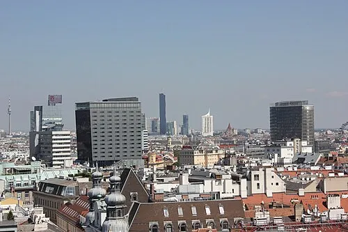 État de Vienne Région, Autriche48 km E
-
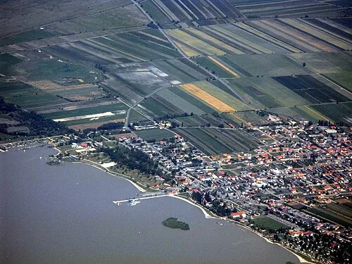 Burgenland Région, Autriche105 km SE
-
Sankt Pölten District, Basse-Autriche18 km SO
-
Wiener Neustadt District, Basse-Autriche70 km SE
Sources et licences
Données mises à jour le: · 2 sources indépendantes