Basse-Autriche
Nom local: Donja Austrija
Situé dans Autriche Coordonnées: 48°20′00″ N 15°45′00″ E
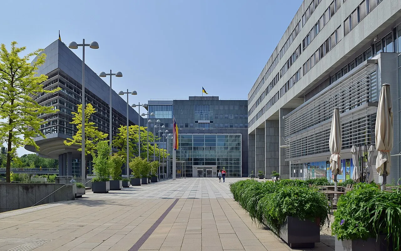
- Population
- 1 698 796
- 1,7 M
- Altitude
- 279 m
- au-dessus du niveau de la mer
- Heure locale
- UTC+01:00
- Europe/Vienna · UTC+01:00
- Lieux rattachés
- 879
- classés sous Basse-Autriche
À propos : Basse-Autriche
Basse-Autriche est une région. Situation : Autriche. Population : 1 698 796.
La Basse-Autriche (en allemand : Niederösterreich) est le plus étendu des États fédérés d'Autriche et le deuxième plus peuplé après celui de Vienne. Elle partage des frontières avec la Slovaquie, la Tchéquie et les États fédéraux de Haute-Autriche, de Styrie, du Burgenland et de Vienne qu'elle entoure complètement (et dont elle a été séparée en 1922). Après un sondage de l'électorat en 1986, Sankt Pölten est devenu la capitale de l'État de Basse-Autriche.
Lire la suite sur Wikipédia Texte : contributeurs de Wikipédia · CC BY-SA 4.0 · abrégé
En bref
- Superficie
- 19 180 km²
Source : Wikidata
En comparaison
- 12 sites et lieux naturels à moins de 10 km Seelackenberg, Obersattel
- Recensés ici : Cours d’eau: 435, Site naturel: 372, District: 24, Lac: 21
Lieux : Basse-Autriche
879 lieux-
Kleine Tulln Cours d’eau
-
Kleine Ybbs Cours d’eau
-
Klein-Harras-Bach Cours d’eau
-
Kloster Bach Cours d’eau
-
Klostertal Site naturel
-
Klosterwald Site naturel
-
Kohlschlucht Site naturel
-
Königsgraben Site naturel
-
Königswald Site naturel
-
Kottauner Bach Cours d’eau
-
Krems Cours d’eau
-
Kreuttal Site naturel
-
Krottenbach Cours d’eau
-
Krumbachgraben Site naturel
-
Krumpenwasser Cours d’eau
-
Krüttlbach Cours d’eau
-
Kuchlholz Site naturel
-
Kuchlwald Site naturel
-
Kühbodenwald Site naturel
-
Kuhbrunnen Site naturel
-
Kühbrunnwald Site naturel
-
Kuhleitenwald Site naturel
-
Kuttengraben Cours d’eau
-
Laabach Cours d’eau
-
Laaber Bach Cours d’eau
-
Ladenbrunner Wald Site naturel
-
Lahnerberg Village
-
Lahnsbach Cours d’eau
-
Lahnwald Site naturel
-
Landbach Cours d’eau
-
Langauer Forst Site naturel
-
Langes Tal Site naturel
-
Langholz Site naturel
-
Langholz Site naturel
-
Langholz Site naturel
-
Langholz Site naturel
-
Langwald Site naturel
-
Lassingfall Site naturel
-
Lateinbach Cours d’eau
-
Laubbaumschachen Site naturel
-
Laxenburger Park Site naturel
-
Lehensbach Cours d’eau
-
Leidingbach Cours d’eau
-
Leiser Berge Montagne
-
Leiser Wald Site naturel
-
Leiser Wald Site naturel
-
Leopoldsdorfer Wald Site naturel
-
Lexnitzbach Cours d’eau
-
Lienenwald Site naturel
-
Lienenwald Site naturel
-
Liesing Cours d’eau
-
Locatelliwald Site naturel
-
Lohnbach Cours d’eau
-
Loibesbach Cours d’eau
-
Loidesthaler Bach Cours d’eau
-
Loisbach Cours d’eau
-
Loosdorfer Bach Cours d’eau
-
Luegwald Site naturel
-
Luisenquelle Site naturel
-
Lunkowitzbach Cours d’eau
Principales villes
-
Baden Commune, Politischer Bezirk Baden26,2 k
-
Baden Petite ville, Baden26,3 k
-
Mistelbach an der Zaya Commune, Mistelbach District11,5 k
Autres régions : Autriche
-
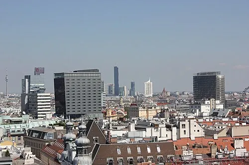 État de Vienne Région, Autriche48 km E
-
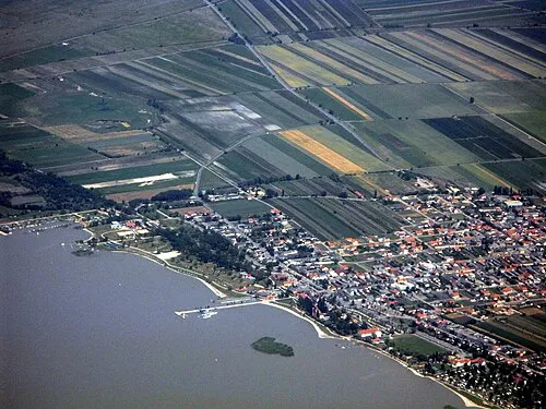 Burgenland Région, Autriche105 km SE
-
Sankt Pölten District, Basse-Autriche18 km SO
-
Wiener Neustadt District, Basse-Autriche70 km SE
-
Eisenstadt District, Burgenland79 km SE
Sources et licences
Données mises à jour le: · 2 sources indépendantes