Schladming
Situé dans Liezen District, Styrie Coordonnées: 47°23′48″ N 13°40′39″ E
Le nom de ce lieu n'a pas encore été vérifié dans cette langue ; il est affiché sous sa forme d'origine.
- Population
- 6 715
- 6,7 k
- Altitude
- 769 m
- au-dessus du niveau de la mer
- Heure locale
- UTC+01:00
- Europe/Vienna · UTC+01:00
- Lieux rattachés
- 104
- classés sous Schladming
À propos : Schladming
Schladming est une commune. Situation : Liezen District, Styrie. Population : 6 715. Altitude : 769 m.
En comparaison
- Liezen District : n° 2 sur 29 lieux par population
- Localité plus grande la plus proche : Bad Goisern, à 28 km (N)
- 161 sites et lieux naturels à moins de 10 km Talbach, Untertalbach
- Recensés ici : Montagne: 89, Village: 11, Quartier: 2, Site historique: 1
Lieux : Schladming
104 lieux-
Nußdörfl Village
-
Pietrach Montagne
-
Placken Montagne
-
Planai Montagne
-
Pölterhöhe Montagne
-
Postlehen Village
-
Pulverturm Montagne
-
Rauenberg Montagne
-
Rauenberg Montagne
-
Rossfeld Montagne
-
Roßkopf Montagne
-
Rötllandspitze Montagne
-
Ruländer Gamsspitze Montagne
-
Samspitze Montagne
-
Sandspitze Montagne
-
Sauberg Montagne
-
Saumerberg Montagne
-
Schiedeck Montagne
-
Schneider Montagne
-
Schober Montagne
-
Seekarzinken Montagne
-
Seerieszinken Montagne
-
Silbersteinberg Montagne
-
Sonnenhang Village
-
Sonntagkarzinken Montagne
-
Steinkarhöhe Montagne
-
Steinkarhöhe Montagne
-
Steinkarzinken Montagne
-
Steirische Kalkspitze Montagne
-
Stierern Village
-
Tristhof Montagne
-
Trockenbrotsch Montagne
-
Vetternspitze Montagne
-
Vogelsang Montagne
-
Vorderer Wildkarstein Montagne
-
Vordere Waschlkarspitze Montagne
-
Waldhorn Montagne
-
Waldhorntörl Montagne
-
Wasserfallspitze Montagne
-
Weitgaßbretter Montagne
-
Werkstatt Montagne
-
Wildlochhöhe Montagne
-
Znachspitze Montagne
-
Zwerfenberg Montagne
Sites et nature à proximité
Tout ce qui est proche-
Sattelberg Montagne, Gemeinde Ramsau am Dachstein2,8 km NE
-
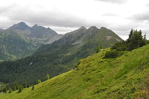 Krahbergzinken Montagne, Haus5,4 km SE
-
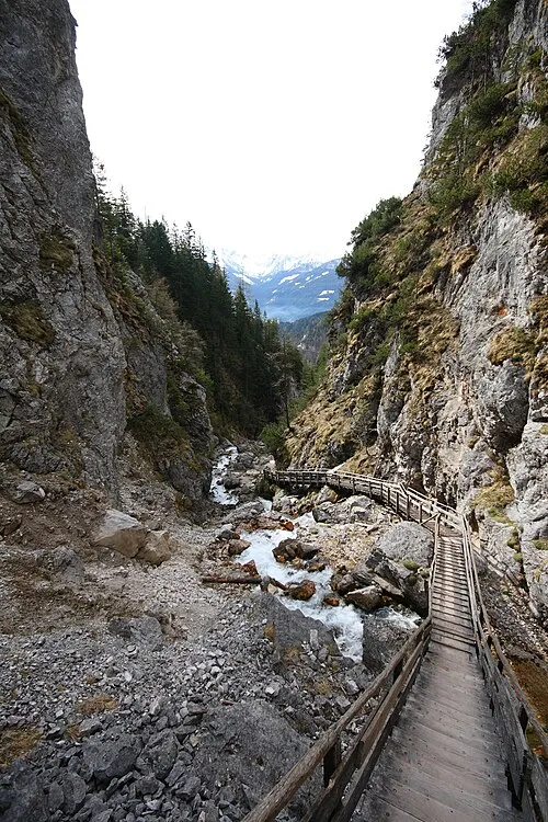 Silberkarklamm Site naturel, Styrie5 km NE
-
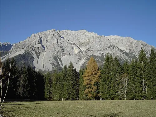 Scheichenspitze Montagne, Gemeinde Ramsau am Dachstein6 km N
-
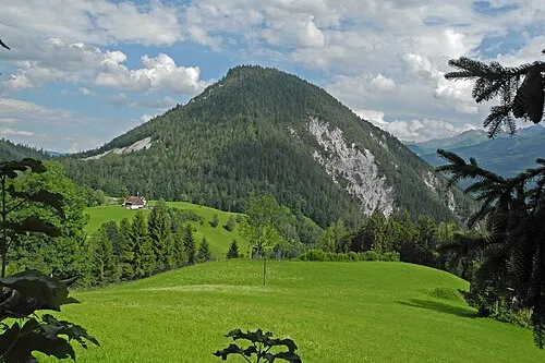 Rössingkogel Montagne, Gemeinde Ramsau am Dachstein5,9 km NE
-
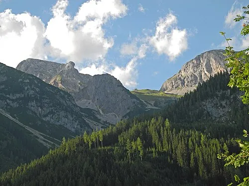 Mitterstein Montagne, Gemeinde Ramsau am Dachstein6 km N
-
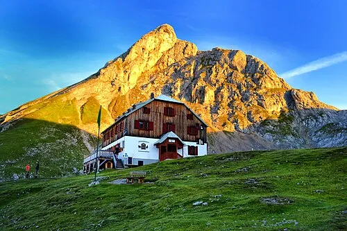 Eselstein Montagne, Gemeinde Ramsau am Dachstein6 km N
-
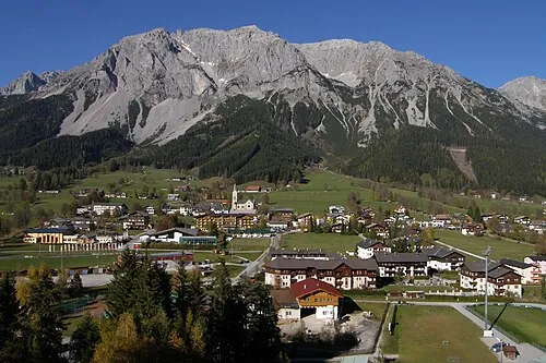 Hohe Rams Montagne, Gemeinde Ramsau am Dachstein6 km N
Sources et licences
Données mises à jour le: