Vorarlberg
Situé dans Autriche Coordonnées: 47°15′00″ N 9°55′00″ E
- Population
- 401 674
- 401,7 k
- Altitude
- 1 063 m
- au-dessus du niveau de la mer
- Heure locale
- UTC+01:00
- Europe/Vienna · UTC+01:00
- Lieux rattachés
- 121
- classés sous Vorarlberg
À propos : Vorarlberg
Vorarlberg est une région. Situation : Autriche. Population : 401 674.
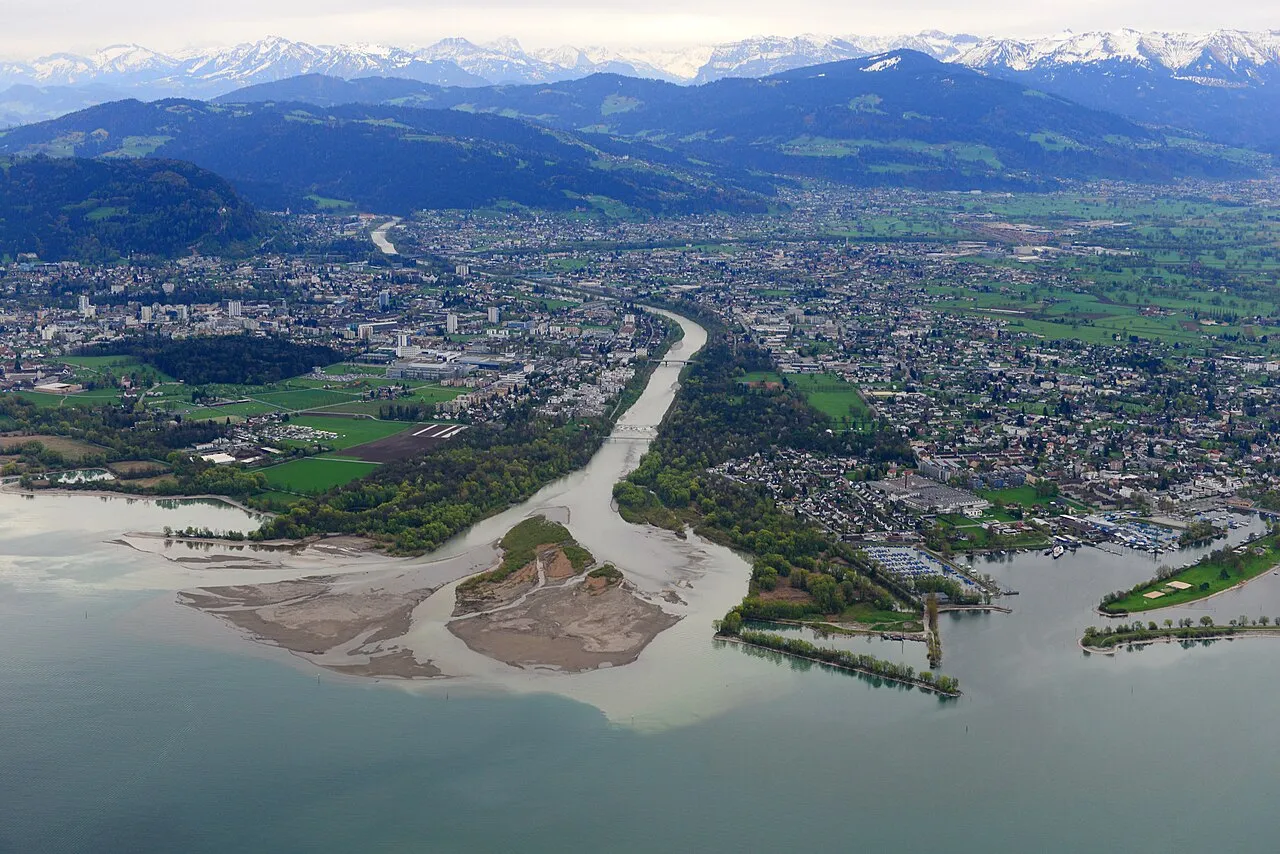
Le Vorarlberg est le land le plus occidental de l'Autriche. Situé « devant l'Arlberg » (en allemand : vor dem Arlberg), sa superficie est de 2 601 km2 et sa population est de 409 915 habitants. Sa capitale est Brégence, sa plus grande ville est Dornbirn. Il est bordé à l'ouest par le canton suisse de Saint-Gall et le Liechtenstein, au nord par le land allemand de Bavière, au sud par le canton suisse des Grisons et à l'est par le land autrichien du Tyrol. C'est le seul land alémanique d'Autriche.
Lire la suite sur Wikipédia Texte : contributeurs de Wikipédia · CC BY-SA 4.0 · abrégé
En bref
- Superficie
- 2 602 km²
Source : Wikidata
En comparaison
- 164 sites et lieux naturels à moins de 10 km Pfarrkirche Fontanella, Seewaldsee
- Recensés ici : Montagne: 52, Cours d’eau: 38, Site naturel: 18, Lac: 9
Lieux : Vorarlberg
121 lieux-
Laternser Tal Site naturel
-
Leckenbach Cours d’eau
-
Leckenbach Cours d’eau
-
Littenbach Cours d’eau
-
Litz Bach Cours d’eau
-
Lutz Cours d’eau
-
Meng Cours d’eau
-
Mittelgrat Montagne
-
Montafontal Site naturel
-
Mühlgraben Gleggen Cours d’eau
-
Müselbach Cours d’eau
-
Naafkopf Montagne
-
Nenzigast Bach Cours d’eau
-
Obere Gottesackerwände Montagne
-
Ochsental Site naturel
-
Östliche Plattenspitze Montagne
-
Östlicher Kromerspitz Montagne
-
Paschianichöpf Montagne
-
Plattenturm Montagne
-
Rauher Kopf - HG Montagne
-
Rehköpfl Montagne
-
Rellstal Site naturel
-
Rheinholz Gaißau Site naturel
-
Rickenbach Cours d’eau
-
Rickenbach Cours d’eau
-
Roggspitze Montagne
-
Rohrmooser Hörnle Montagne
-
Roten Chöpf Montagne
-
Rotspitz Montagne
-
Ruggbach Cours d’eau
-
Sädelhorn Montagne
-
Salaruelkopf Montagne
-
Samstenberg Montagne
-
Schafberg Montagne
-
Schafköpfe Montagne
-
Schaftällichopf Montagne
-
Schlappiner Grat Montagne
-
Schlappiner Spitz Montagne
-
Seenadlen Montagne
-
Seeschijen Montagne
-
Seiler Bach Cours d’eau
-
Silbertal Site naturel
-
Sonntagsspitze Montagne
-
Standbach Cours d’eau
-
Staufensee Lac
-
Stüber Fall Site naturel
-
Suggadinbach Cours d’eau
-
Sünser See Lac
-
Tilisuna See Lac
-
Toreck Montagne
-
Torkopf Montagne
-
Trittwangkopf Montagne
-
Üntschenspitze Montagne
-
Valschaviel Bach Cours d’eau
-
Verbella Bach Cours d’eau
-
Vermielbach Cours d’eau
-
Vermunt Stausee Lac
-
Wilder Tobel Cours d’eau
-
Winterberg Montagne
-
Zeinis Bach Cours d’eau
Principales villes
Sources et licences
Données mises à jour le: · 2 sources indépendantes