Stirling
Situé dans Ecosse, Royaume-Uni Coordonnées: 56°06′55″ N 4°14′02″ O
Le nom de ce lieu n'a pas encore été vérifié dans cette langue ; il est affiché sous sa forme d'origine.
- Population
- 94 210
- 94,2 k
- Altitude
- 121 m
- au-dessus du niveau de la mer
- Heure locale
- UTC+00:00
- Europe/London · UTC+00:00
- Lieux rattachés
- 511
- classés sous Stirling
À propos : Stirling
Stirling est un district. Situation : Ecosse, Royaume-Uni. Population : 94 210.
En comparaison
- 18 sites et lieux naturels à moins de 10 km Kippen Muir, Stronend
- Recensés ici : Montagne: 317, Village: 79, Île: 25, Lac: 25
Lieux : Stirling
511 lieux-
Meall an Fhiodhain Montagne
-
Meall an Lochain Montagne
-
Meall an t-Seallaidh Montagne
-
Meall Biorach Montagne
-
Meall Buidhe Montagne
-
Meall Buidhe Montagne
-
Meall Cala Montagne
-
Meall Clachach Montagne
-
Meall Clachach Montagne
-
Meall Daimh Montagne
-
Meall Dhamh Montagne
-
Meall Dhuin Croisg Montagne
-
Meall Ear Montagne
-
Meall Eoghainn Montagne
-
Meall Gainmheich Montagne
-
Meall Gaothach Montagne
-
Meall Garbh Montagne
-
Meall Ghaordaidh Montagne
-
Meall Glas Montagne
-
Meall Gobhlach Montagne
-
Meall Leathan Dhail Montagne
-
Meall Monachyle Montagne
-
Meall Mor Montagne
-
Meall Mor Montagne
-
Meall Mor Far West Top Montagne
-
Meall Mor nan Eag Montagne
-
Meall na Caora Montagne
-
Meall na Cloiche Montagne
-
Meall na Dige Montagne
-
Meall nan Oighreag Montagne
-
Meall nan Samhna West Top Montagne
-
Meall nan Tarmachan Montagne
-
Meall nan Tighearn Montagne
-
Meall na Samhna Montagne
-
Meall Odhar Montagne
-
Meall Odhar Montagne
-
Meall Reamhar Montagne
-
Meall Reamhar Montagne
-
Meall Reamhar West Top Montagne
-
Meall Sgallachd Montagne
-
Meall Taurnaigh Montagne
-
Meall Ton Eich Montagne
-
Meikle Bin Montagne
-
Meikle Caldon Montagne
-
Middlethird Hill Montagne
-
Milton Quartier
-
Milton of Buchanan Village
-
Mugdock Village
-
Mugdock Castle Site historique
-
Mullach an t-Samhraidh Montagne
-
Otter Island Île
-
Parlan Hill Montagne
-
Port of Menteith Village
-
Ptarmigan Montagne
-
Queen Elizabeth Forest Park Site naturel
-
Quinloch Muir Hill Montagne
-
Raploch Quartier
-
River Balvag Cours d’eau
-
River Dochart Cours d’eau
Sites et nature à proximité
Tout ce qui est proche-
Kilsyth Hills Montagne, Ecosse16 km SE
-
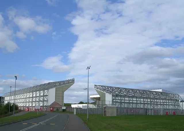 Broadwood Stadium Monument, North Lanarkshire23 km SE
-
Campsie Glen Site naturel, East Dunbartonshire13 km S
Sources et licences
Données mises à jour le: