Leeds
Bulunduğu yer: İngiltere, Birleşik Krallık Koordinatlar: 53°47′47″ K 1°32′52″ B
Bu yerin adı bu dilde henüz doğrulanmadı; özgün haliyle gösteriliyor.
- Nüfus
- 781.743
- 781,7 B
- Rakım
- 50 m
- deniz seviyesinden
- Yerel saat
- UTC+00:00
- Europe/London · UTC+00:00
- İçindeki yerler
- 213
- Leeds altında listelenen
Leeds hakkında
Leeds bir ilçedir. Konum: İngiltere, Birleşik Krallık. Nüfus: 781.743.
Karşılaştırmalı bilgiler
- 10 km içinde 19 gezilecek ve doğal yer Elland Road, Chapel Allerton Park
- Burada listelenenler: Mahalle: 121, Belde: 37, Köy / Mahalle: 33, Kasaba: 7
Leeds içindeki yerler
213 yer-
Micklefield Belde
-
Mickletown Köy / Mahalle
-
Middleton Köy / Mahalle
-
Mill Shaw Mahalle
-
Monkswood Mahalle
-
Moor Allerton Mahalle
-
Moor Garforth Mahalle
-
Moorside Mahalle
-
Moor Side Köy / Mahalle
-
Moortown Mahalle
-
Morley Belde
-
New Blackpool Mahalle
-
Newlay Mahalle
-
New Scarborough Mahalle
-
New Town Mahalle
-
New Wortley Mahalle
-
Nook Mahalle
-
Old Mill Beck Nehir
-
Osmondthorpe Mahalle
-
Otley Belde
-
Oulton Mahalle
-
Ouzlewell Green Köy / Mahalle
-
Owlcotes Hill Dağ
-
Parklands Mahalle
-
Park Spring Mahalle
-
Park Villas Mahalle
-
Parlington Belde
-
Penda's Fields Mahalle
-
Pool Belde
-
Potternewton Köy / Mahalle
-
Pottery Field Mahalle
-
Quarry Hill Mahalle
-
Rawdon Köy / Mahalle
-
Richmond Hill Köy / Mahalle
-
Robin Hood Köy / Mahalle
-
Rodley Köy / Mahalle
-
Roker Lane Bottom Mahalle
-
Rothwell Kalesi Tarihi yapı
-
Round Hill Mahalle
-
Royds Green Köy / Mahalle
-
Rufford Park Mahalle
-
Sandford Mahalle
-
Scarcroft Belde
-
Scotland Köy / Mahalle
-
Scott Hall Mahalle
-
Shadwell Belde
-
Shaw Lane Mahalle
-
Sheepscar Mahalle
-
Silver Royd Hill Mahalle
-
Spring Wood Doğal alan
-
Stanks Mahalle
-
Stanningley Köy / Mahalle
-
Steander Mahalle
-
Stourton Mahalle
-
Sturton Grange Belde
-
Swarcliffe Mahalle
-
Swillington Belde
-
Swinnow Mahalle
-
Tannery Yard Mahalle
-
The Green Mahalle
Leeds doğası ve kültürel mirası
-
Elland Road Önemli yapı, Morley
-
Harewood Kalesi Tarihi yapı, Harewood
-
Otley Methodist Church Turistik yer, Otley
Yakındaki turistik ve doğal yerler
Yakındaki her şey-
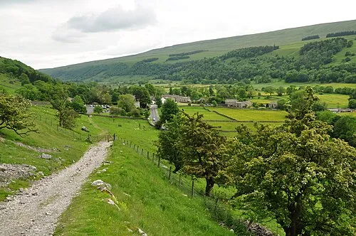 Wharfedale Doğal alan, İngiltere12 km KD
-
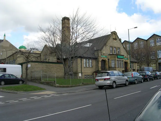 Baitul Hamd Turistik yer, Bradford12 km B
-
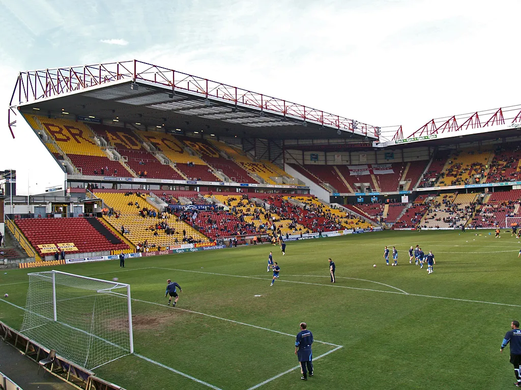 Valley Parade Önemli yapı, Trident14 km B
-
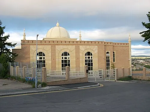 El-Mehdi Camii (Bradford) Turistik yer, Bradford13 km B
-
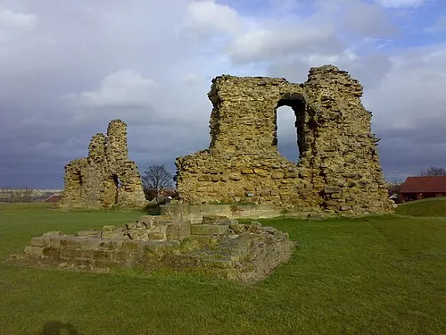 Sandal Kalesi Tarihi yapı, Wakefield16 km G
-
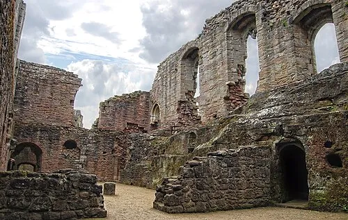 Spofforth Kalesi Tarihi yapı, Spofforth with Stockeld19 km K
Kaynaklar ve lisanslar
Verilerin son güncellenmesi: