Borgø
Liegt in Lolland Kommune, Region Seeland Koordinaten: 54°45′26″ N 11°32′23″ O
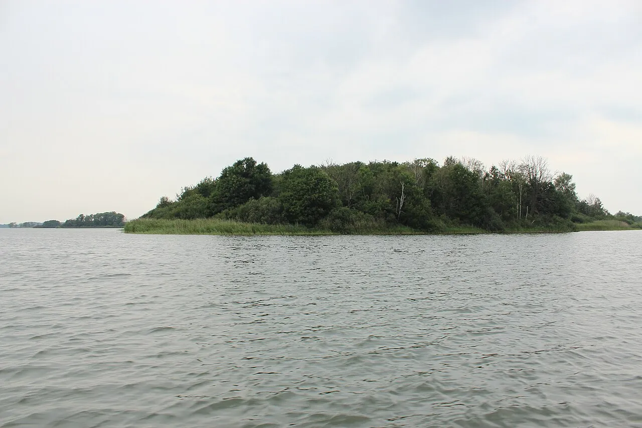
- Höhe
- 15 m
- über dem Meeresspiegel
- Ortszeit
- UTC+01:00
- Europe/Copenhagen · UTC+01:00
Über Borgø
Borgø ist eine Insel. Lage: Lolland Kommune, Region Seeland.
Auf einen Blick
- Fläche
- 18 ha
Quelle: Wikidata
Im Vergleich
- 2 Sehenswürdigkeiten und Naturorte im Umkreis von 10 km Dornæs, Havneø
Nächstgelegene Städte und Dörfer
-
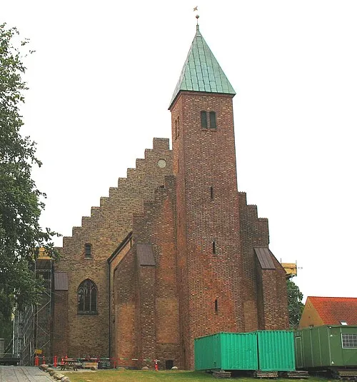 Maribo Stadt, Lolland Kommune3,3 km NW
-
Hunseby Dorf, Lolland Kommune4,5 km N
-
Holeby Dorf, Lolland Kommune7,1 km SW
-
Sakskøbing Dorf, Guldborgsund Kommune7,3 km NO
-
Nørreballe Dorf, Lolland Kommune8,9 km NW
-
Bandholm Dorf, Lolland Kommune9,5 km N
Sehenswertes & Natur in der Nähe
Alles in der Nähe-
Dornæs Naturgebiet, Lolland Kommune1,5 km SW
-
Havneø Insel, Lolland Kommune9,7 km N
-
Kalveholm Insel, Guldborgsund Kommune12 km S
-
Lindholm Insel, Lolland Kommune15 km NW
-
Hylleholm Insel, Guldborgsund Kommune12 km S
-
Bavnehøj Berg, Lolland Kommune20 km NW
-
Storeager Insel, Lolland Kommune15 km S
-
Kalvø Insel, Guldborgsund Kommune21 km O
Quellen & Lizenzen
Daten zuletzt aktualisiert: · 2 unabhängige Quellen