Barholm
Liegt in Vordingborg Kommune, Region Seeland Koordinaten: 54°54′35″ N 12°04′51″ O
- Höhe
- -2 m
- über dem Meeresspiegel
- Ortszeit
- UTC+01:00
- Europe/Copenhagen · UTC+01:00
Über Barholm
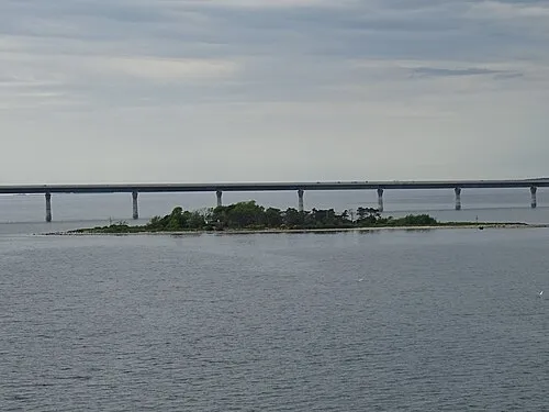
Barholm ist eine Insel. Lage: Vordingborg Kommune, Region Seeland.
Auf einen Blick
- Fläche
- 7,5 ha
Quelle: Wikidata
Im Vergleich
- 2 Sehenswürdigkeiten und Naturorte im Umkreis von 10 km Kirche von Fanefjord, Præstebjerg
Nächstgelegene Städte und Dörfer
-
Stubbekøbing Dorf, Guldborgsund Kommune3,5 km SW
-
Store Damme Dorf, Vordingborg Kommune5,3 km O
-
Stensved Dorf, Vordingborg Kommune10 km N
-
Horbelev Dorf, Guldborgsund Kommune9,7 km S
-
Nyråd Dorf, Vordingborg Kommune13 km NW
-
Nørre Alslev Dorf, Guldborgsund Kommune13 km W
Sehenswertes & Natur in der Nähe
Alles in der Nähe-
Præstebjerg Berg, Vordingborg Kommune6,6 km O
-
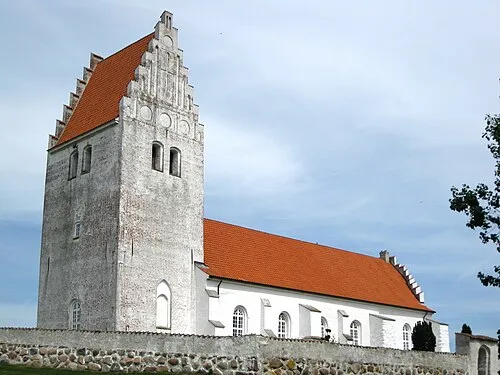 Kirche von Fanefjord Sehenswürdigkeit, Vordingborg Kommune4,6 km O
-
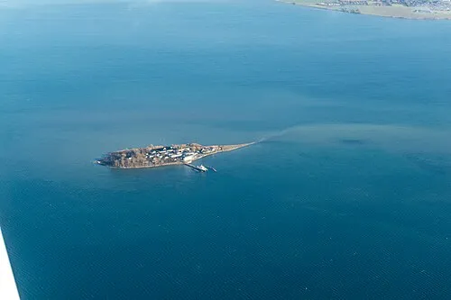 Lindholm Insel, Vordingborg Kommune14 km NO
-
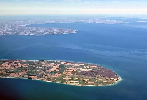 Møn Insel, Vordingborg Kommune19 km NO
-
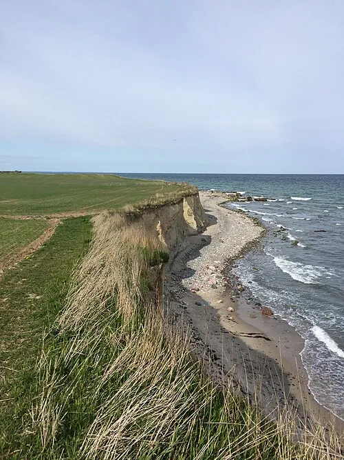 Falster Insel, Guldborgsund Kommune14 km SW
-
Bavnehøj Berg, Guldborgsund Kommune16 km W
-
Rishøj Berg, Vordingborg Kommune20 km N
-
Tyreholm Insel, Vordingborg Kommune17 km NO
Weitere Seen, Flüsse und Küsten in Dänemark
Quellen & Lizenzen
Daten zuletzt aktualisiert: · 2 unabhängige Quellen