Carrigahoulla
Liegt in County Louth, Leinster Koordinaten: 53°49′08″ N 6°15′11″ W
- Ortszeit
- UTC+00:00
- Europe/Dublin · UTC+00:00
Über Carrigahoulla
Carrigahoulla ist ein Berg. Lage: County Louth, Leinster.
Im Vergleich
- 7 Sehenswürdigkeiten und Naturorte im Umkreis von 10 km Clogher Head, Castlecoo Hill
Nächstgelegene Städte und Dörfer
-
Clogherhead Dorf, County Louth3 km S
-
Termonfeckin Dorf, County Louth6,3 km S
-
Baltray Dorf, County Louth8,8 km S
Sehenswertes & Natur in der Nähe
Alles in der Nähe-
Fieldstown Hill Berg, County Louth9,6 km SW
-
Slievenaglogh Berg, County Louth22 km N
-
Annaloughan Mountain Berg, County Louth22 km N
-
Barnavave Berg, County Louth23 km N
-
Mullaghattin Berg, County Louth24 km N
-
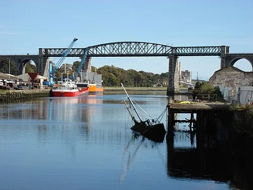 Boyne Viaduct Wahrzeichen, County Louth13 km SW
-
 United Park Wahrzeichen, County Louth13 km SW
-
Benhead Naturgebiet, County Meath18 km S
Mehr Natur in Irland
-
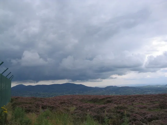 Clermont Carn Berg, County Louth29 km N
-
Slieve Foye Berg, County Louth25 km N
-
Carlingford Mountain Berg, County Louth26 km N
-
Carrabane Berg, County Louth27 km N
-
Carnavaddy Berg, County Louth27 km N
-
The Ben Rock Berg, County Louth29 km N
Quellen & Lizenzen
Daten zuletzt aktualisiert: · 2 unabhängige Quellen