Peppard’s Castle
Liegt in County Wexford, Leinster Koordinaten: 52°32′40″ N 6°14′15″ W
Der Name dieses Ortes wurde in dieser Sprache noch nicht verifiziert und wird in der Originalform angezeigt.
- Ortszeit
- UTC+00:00
- Europe/Dublin · UTC+00:00
- Höhe
- 7 m
- über dem Meeresspiegel
Über Peppard’s Castle
Peppard’s Castle ist eine historische Stätte. Lage: County Wexford, Leinster.
Im Vergleich
- 5 Sehenswürdigkeiten und Naturorte im Umkreis von 10 km Ballyedmond River, Pollshone Head
Sehenswertes & Natur in der Nähe
Alles in der Nähe-
Ballynamona Hill Berg, County Wexford8,7 km SW
-
Boley Hill Berg, County Wexford9,6 km NW
-
Pollshone Head Naturgebiet, County Wexford8,2 km N
-
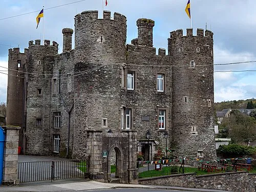 Enniscorthy Castle Historische Stätte, County Wexford23 km W
-
Carrigroe Hill Berg, County Wexford11 km NW
-
Ballyminaun Hill Berg, County Wexford12 km N
-
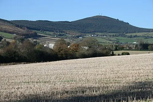 Slieveboy Berg, County Wexford21 km NW
-
Slievenagorra Hill Berg, County Wexford14 km SW
Nächstgelegene Städte und Dörfer
-
Kilmuckridge Dorf, County Wexford4,8 km SW
-
Ballygarrett Dorf, County Wexford3,2 km N
-
Ballycanew Dorf, County Wexford8,4 km NW
-
Courtown Dorf, County Wexford11 km N
Quellen & Lizenzen
Daten zuletzt aktualisiert: