Mullaghmore, County Clare
Name in Landessprache: An Mullach Mór
Liegt in County Clare, Munster Koordinaten: 53°00′29″ N 8°59′58″ W
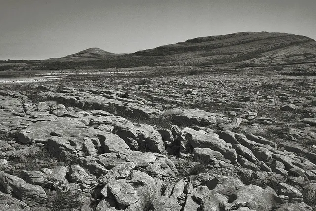
- Höhe
- 158 m
- über dem Meeresspiegel
- Ortszeit
- UTC+00:00
- Europe/Dublin · UTC+00:00
Über Mullaghmore, County Clare
Mullaghmore, County Clare ist ein Berg. Lage: County Clare, Munster. Höhe: 158 m.
Im Vergleich
- Platz 1729 von 2106 Bergen in Irland nach Höhe
- 31 Sehenswürdigkeiten und Naturorte im Umkreis von 10 km Coolreash Lough, Knockanes
Nächstgelegene Städte und Dörfer
Sehenswertes & Natur in der Nähe
Alles in der Nähe-
Glasgeivnagh Hill Berg, County Clare2,9 km W
-
Doomore Berg, County Clare6,9 km N
-
Gortaclare Mountain Berg, County Clare8,4 km N
-
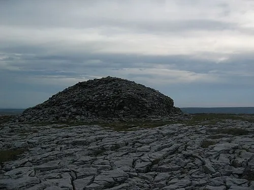 Turlough Hill (Clare) Berg, County Clare11 km N
-
Slievecarran Berg, County Clare9,7 km N
-
Clifden Hill Berg, County Clare9,9 km SW
Quellen & Lizenzen
Daten zuletzt aktualisiert: · 2 unabhängige Quellen