Rahoneen Castle
Liegt in County Kerry, Munster Koordinaten: 52°19′10″ N 9°49′12″ W
Der Name dieses Ortes wurde in dieser Sprache noch nicht verifiziert und wird in der Originalform angezeigt.
- Ortszeit
- UTC+00:00
- Europe/Dublin · UTC+00:00
- Höhe
- 9 m
- über dem Meeresspiegel
Über Rahoneen Castle
Rahoneen Castle ist eine historische Stätte. Lage: County Kerry, Munster.
Im Vergleich
- 22 Sehenswürdigkeiten und Naturorte im Umkreis von 10 km Carrahane Strand, Banna Strand
Sehenswertes & Natur in der Nähe
Alles in der Nähe-
Carrahane Strand Strand, County Kerry1,4 km W
-
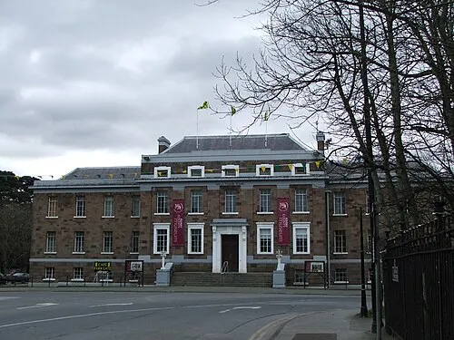 Kerry County Museum Museum, County Kerry9,7 km SO
-
Illaunnacusha Insel, County Kerry5,6 km W
-
Little Samphire Island Insel, County Kerry6,8 km SW
-
Illaunnabarnagh Insel, County Kerry6,8 km W
-
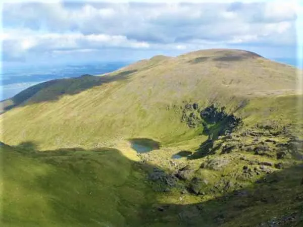 Baurtregaum Berg, County Kerry13 km S
-
Mucklaghmore Insel, County Kerry8,1 km W
-
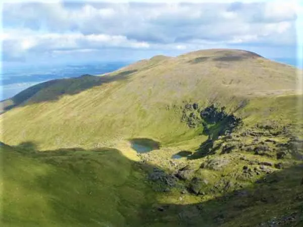 Sliabh Mis Berg, County Kerry14 km S
Nächstgelegene Städte und Dörfer
-
Fenit Dorf, County Kerry5,4 km SW
-
Spa (County Kerry) Dorf, County Kerry5,3 km SO
-
Ballyheigue Dorf, County Kerry7,2 km N
-
Tralee Stadt, County Kerry9,7 km SO
Weitere Sehenswürdigkeiten in County Kerry
-
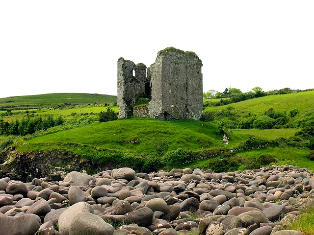 Minard Castle Historische Stätte, County Kerry29 km SW
-
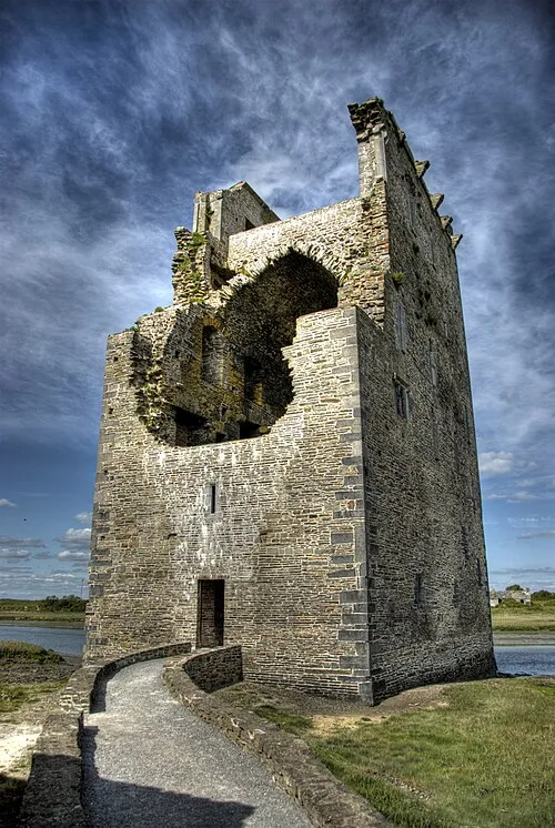 Carrigafoyle Castle Historische Stätte, County Kerry36 km NO
Quellen & Lizenzen
Daten zuletzt aktualisiert: