Bo Island
Liegt in County Donegal, Provinz Ulster Koordinaten: 55°04′47″ N 8°20′15″ W
- Höhe
- 1 m
- über dem Meeresspiegel
- Ortszeit
- UTC+00:00
- Europe/Dublin · UTC+00:00
Über Bo Island
Bo Island ist eine Insel. Lage: County Donegal, Provinz Ulster.
Im Vergleich
- 39 Sehenswürdigkeiten und Naturorte im Umkreis von 10 km Gweedore Bay, Inishinny
Nächstgelegene Städte und Dörfer
-
Doirí Beaga Dorf, County Donegal3,1 km O
-
Brinlack Dorf, County Donegal5,4 km NO
-
An Bun Beag Dorf, County Donegal3,3 km SO
-
Gweedore Dorf, County Donegal7,5 km SO
-
Meenlaragh Dorf, County Donegal12 km NO
-
Burtonport Dorf, County Donegal12 km SW
Sehenswertes & Natur in der Nähe
Alles in der Nähe-
Go Island Insel, County Donegal1,7 km W
-
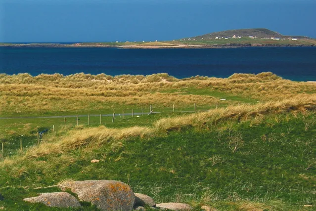 Inishmeane Insel, County Donegal2,7 km N
-
Carnboy Naturgebiet, County Donegal2,2 km S
-
Allagh Island Insel, County Donegal2,1 km W
-
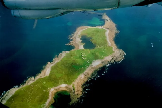 Inishsirrer Insel, County Donegal4,1 km N
-
Inishfree Lower Insel, County Donegal3,3 km SW
-
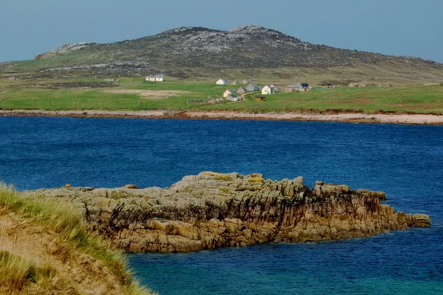 Owey Island Insel, County Donegal7,9 km SW
-
Inishillintry Insel, County Donegal6,2 km SW
Quellen & Lizenzen
Daten zuletzt aktualisiert: · 2 unabhängige Quellen