Monte Valegino
Liegt in Foppolo, Provinz Bergamo Koordinaten: 46°03′32″ N 9°44′13″ O
- Höhe
- 2.411 m
- über dem Meeresspiegel
- Ortszeit
- UTC+01:00
- Europe/Rome · UTC+01:00
Über Monte Valegino
Monte Valegino ist ein Berg. Lage: Foppolo, Provinz Bergamo. Höhe: 2.411 m.
Im Vergleich
- Platz 1563 von 4295 Bergen in Italien nach Höhe
- 12 Sehenswürdigkeiten und Naturorte im Umkreis von 10 km Monte Cadelle, Cima di Lemma
Klima in Monte Valegino
| Monat | Jan | Feb | Mär | Apr | Mai | Jun | Jul | Aug | Sep | Okt | Nov | Dez |
|---|---|---|---|---|---|---|---|---|---|---|---|---|
| Mittleres Maximum (°C) | -5° | -4° | -1° | 1° | 6° | 10° | 13° | 12° | 9° | 4° | -1° | -4° |
| Mittleres Minimum (°C) | -14° | -14° | -11° | -8° | -3° | 0° | 3° | 3° | -1° | -5° | -10° | -13° |
| Niederschlag (mm) | 47 | 32 | 48 | 68 | 93 | 97 | 88 | 96 | 97 | 92 | 63 | 44 |
Monatsmittel 1970–2000 bei etwa 18 km Auflösung, höhenkorrigiert. Hervorgehobene Monate sind mild und relativ trocken. Quelle: WorldClim 2.1 (CC BY 4.0).
Flughäfen in der Nähe von Monte Valegino
- Il Caravaggio International Airport (BGY) Orio al Serio (BG) 43 km
- Lugano Airport (LUG) Agno 64 km
- Milano Linate Airport (LIN) Segrate (MI) 77 km
Luftlinie; nur Flughäfen mit Linienflügen. Quelle: OurAirports (gemeinfrei).
Nächstgelegene Städte und Dörfer
Sehenswertes & Natur in der Nähe
Alles in der Nähe-
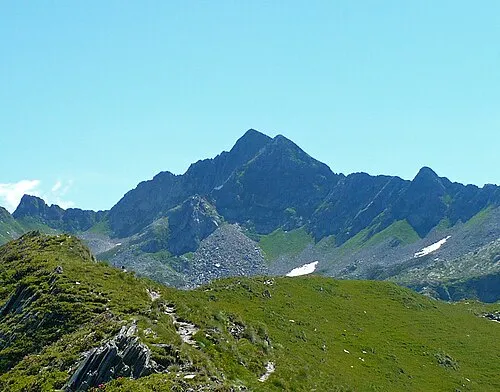 Monte Cadelle Berg, Foppolo0,8 km NO
-
Cima di Lemma Berg, Tartano2,2 km W
-
Pizzo Scala Berg, Tartano2,9 km W
-
Monte Toro Berg, Foppolo3,4 km O
-
Monte Moro Berg, Tartano3,5 km NW
-
Monte Valgussera Berg, Foppolo3,6 km SO
-
Pizzo Rotondo Berg, Valleve4 km W
-
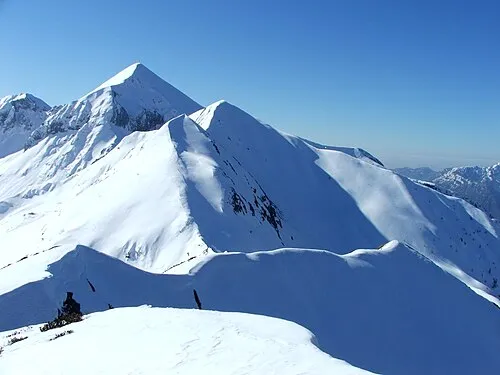 Monte Cavallo Berg, Piazzatorre4,5 km SW
Quellen & Lizenzen
Daten zuletzt aktualisiert: · 2 unabhängige Quellen