Nemesis
Liegt in Provinz Belluno, Venetien Koordinaten: 46°33′19″ N 12°03′08″ O
- Höhe
- 2.755 m
- über dem Meeresspiegel
- Ortszeit
- UTC+01:00
- Europe/Rome · UTC+01:00
Über Nemesis
Nemesis ist ein Berg. Lage: Provinz Belluno, Venetien. Höhe: 2.755 m.
Im Vergleich
- Platz 909 von 4295 Bergen in Italien nach Höhe
- 37 Sehenswürdigkeiten und Naturorte im Umkreis von 10 km Tofana di Dentro, Tofana di Mezzo
Nächstgelegene Städte und Dörfer
-
Cortina d’Ampezzo Gemeinde, Provinz Belluno6,8 km O
-
Cortina d’Ampezzo Kleinstadt, Cortina d’Ampezzo7 km O
-
Cadin di Sotto Dorf, Cortina d’Ampezzo5,6 km O
-
Fiames Dorf, Cortina d’Ampezzo5,3 km O
-
Cadelverzo di Sopra Dorf, Cortina d’Ampezzo5,5 km O
-
Cadin di Sopra Dorf, Cortina d’Ampezzo5,3 km O
Sehenswertes & Natur in der Nähe
Alles in der Nähe-
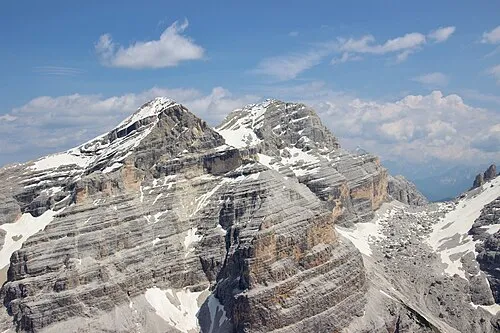 Tofana di Dentro Berg, Cortina d’Ampezzo0,9 km O
-
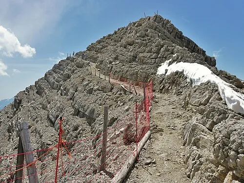 Tofana di Mezzo Berg, Cortina d’Ampezzo1,1 km SO
-
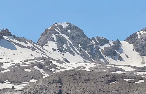 Monte Casale Berg, Gemeinde Enneberg2,1 km NW
-
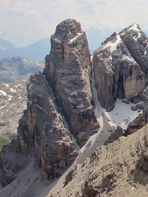 Fanesturm Berg, Cortina d’Ampezzo2,2 km W
-
Cima Formenton Berg, Cortina d’Ampezzo2 km NO
-
Nördliche Fanisspitze Berg, Cortina d’Ampezzo2,6 km W
-
Rozes Berg, Cortina d’Ampezzo2,8 km S
-
Südliche Fanisspitze Berg, Cortina d’Ampezzo2,8 km W
Mehr Natur in Italien
-
Lagaccio Grande Berg, Cortina d’Ampezzo3,2 km SW
-
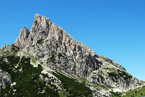 Hexenstein Berg, Cortina d’Ampezzo5,7 km SW
-
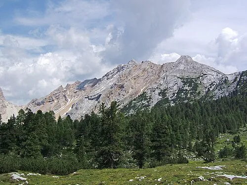 Pareispitze Berg, Cortina d’Ampezzo6,2 km N
-
Kleiner Lagazuoi Berg, Cortina d’Ampezzo4,7 km SW
-
Fiammes Berg, Cortina d’Ampezzo6,8 km NO
-
Lavinores Berg, Cortina d’Ampezzo7,8 km N
Quellen & Lizenzen
Daten zuletzt aktualisiert: · 2 unabhängige Quellen