Chodów
Liegt in Koło County, Woiwodschaft Großpolen Koordinaten: 52°15′12″ N 19°01′13″ O
Der Name dieses Ortes wurde in dieser Sprache noch nicht verifiziert und wird in der Originalform angezeigt.
- Einwohner
- 3.075
- 3075
- Höhe
- 118 m
- über dem Meeresspiegel
- Ortszeit
- UTC+01:00
- Europe/Warsaw · UTC+01:00
- Orte darin
- 2
- unter Chodów verzeichnet
Über Chodów
Chodów ist eine Gemeinde. Lage: Koło County, Woiwodschaft Großpolen. Einwohner: 3.075. Höhe: 118 m.
Im Vergleich
- Platz 11 von 11 Orten in Koło County nach Einwohnern
- Nächstgrößerer Ort: Gmina Kłodawa, 7 km W
- Hier verzeichnet: Dorf: 2
Orte in Chodów
2 Orte-
Gmina Chodów Dorf830
-
Stanisławów Dorf39
Sehenswertes & Natur in der Nähe
Alles in der Nähe-
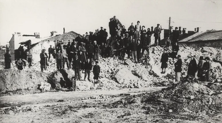 Ghetto Warta Historische Stätte, Grabów9,9 km S
-
Ghetto Krośniewice Historische Stätte, Krośniewice11 km O
-
Ghetto Miłosna Historische Stätte, Krośniewice12 km O
-
Ghetto Nowiny Brdowskie Historische Stätte, Babiak20 km NW
-
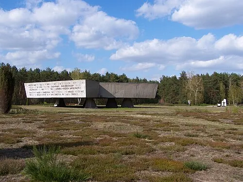 Vernichtungslager Kulmhof Historische Stätte, Dąbie24 km SW
-
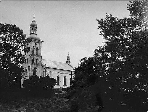 Ghetto Dąbie Historische Stätte, Dąbie23 km SW
-
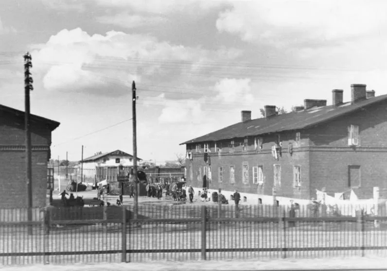 Ghetto Kutno Historische Stätte, Kutno24 km O
-
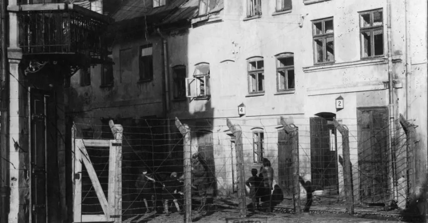 Ghetto Łęczyca Historische Stätte, Gmina Góra Świętej Małgorzaty25 km SO
Quellen & Lizenzen
Daten zuletzt aktualisiert: