Ghetto Poddębice
Liegt in Poddębice, Poddębice County Koordinaten: 51°53′00″ N 18°57′00″ O
- Ortszeit
- UTC+01:00
- Europe/Warsaw · UTC+01:00
- Höhe
- 115 m
- über dem Meeresspiegel
Über Ghetto Poddębice
Ghetto Poddębice ist eine historische Stätte. Lage: Poddębice, Poddębice County.
Sehenswertes & Natur in der Nähe
Alles in der Nähe-
Ghetto Uniejów Historische Stätte, Uniejów14 km NW
-
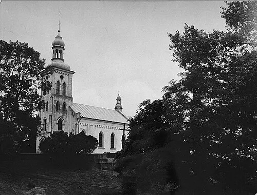 Ghetto Dąbie Historische Stätte, Dąbie24 km N
-
Ghetto Szadek Historische Stätte, Gmina Szadek22 km S
-
Ghetto Dobra Historische Stätte, Dobra23 km W
-
Ghetto Lutomiersk Historische Stätte, Lutomiersk24 km SO
-
Ghetto Ozorków Historische Stätte, Ozorków25 km O
Nächstgelegene Städte und Dörfer
-
Szarów Księży Dorf, Poddębice9,6 km NW
-
Uniejów Dorf, Uniejów15 km NW
Quellen & Lizenzen
Daten zuletzt aktualisiert: · 2 unabhängige Quellen