Playa de Poniente
Liegt in Línea de la Concepción, La, Cádiz Koordinaten: 36°09′28″ N 5°20′18″ W
Der Name dieses Ortes wurde in dieser Sprache noch nicht verifiziert und wird in der Originalform angezeigt.
- Ortszeit
- UTC+01:00
- Europe/Madrid · UTC+01:00
Über Playa de Poniente
Playa de Poniente ist ein Strand. Lage: Línea de la Concepción, La, Cádiz.
Im Vergleich
- 33 Sehenswürdigkeiten und Naturorte im Umkreis von 10 km Club Linense de Tiro Olimpico, Ruins of Fort St. Barbara
Nächstgelegene Städte und Dörfer
-
Campamento Dorf, San Roque4,5 km NW
-
Puente Mayorga Dorf, San Roque5 km NW
-
San Roque Gemeinde, Cádiz11 km N
-
Algeciras Gemeinde, Cádiz12 km SW
-
Guadacorte Dorf, Barrios, Los9,2 km NW
-
Algeciras Stadt, Algeciras10 km W
Sehenswertes & Natur in der Nähe
Alles in der Nähe-
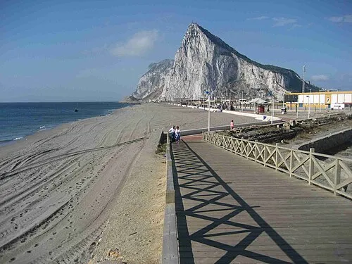 Playa de Santa Bárbara Strand, Cádiz1,1 km N
-
Museo Cruz Herrera Museum, Línea de la Concepción, La1,3 km W
-
Playa de La Atunara Strand, Cádiz3 km N
-
Playa de Torrenueva Strand, Línea de la Concepción, La5,5 km N
-
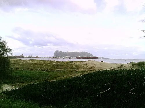 Playa Guadarranque Strand, Barrios, Los8,4 km W
-
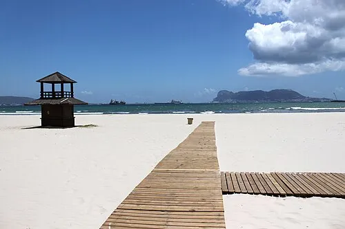 Playa Rinconcillo Strand, Cádiz9,6 km W
-
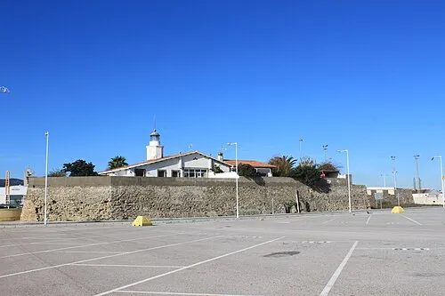 Isla Verde Insel, Barrios, Los9,6 km SW
Quellen & Lizenzen
Daten zuletzt aktualisiert: