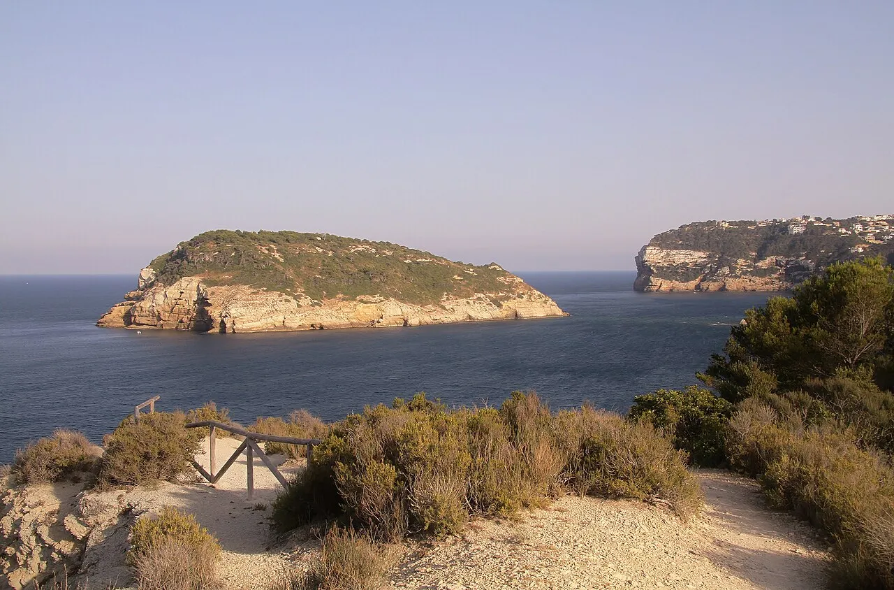
Illa del Portitxol
Liegt in Landes Valencia, Spanien Koordinaten: 38°45′19″ N 0°13′48″ O
- Höhe
- 48 m
- über dem Meeresspiegel
- Ortszeit
- UTC+01:00
- Europe/Madrid · UTC+01:00
Über Illa del Portitxol
Illa del Portitxol ist eine Insel. Lage: Landes Valencia, Spanien.
Auf einen Blick
- Höhe
- 75 m
- Länge
- 0,4 km
- Fläche
- 8,3 ha
Quelle: Wikidata
Im Vergleich
- 22 Sehenswürdigkeiten und Naturorte im Umkreis von 10 km Cala del Portixol, Cabo de la Nao DGPS-Transmitter
Nächstgelegene Städte und Dörfer
Sehenswertes & Natur in der Nähe
Alles in der Nähe-
Cala del Portixol Strand, Provinz Alicante0,6 km SW
-
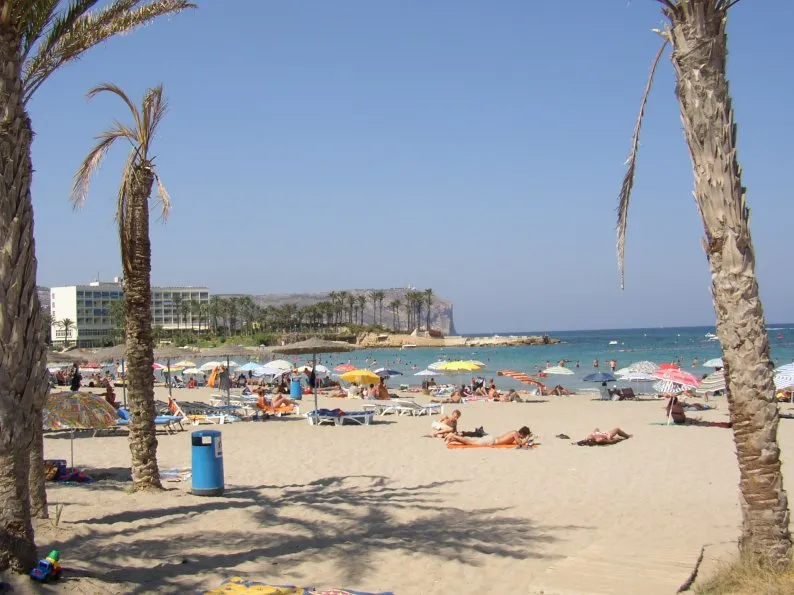 Playa del Arenal Strand, Javea3,9 km NW
-
Playa de Carambolo Strand, Provinz Alicante3 km S
-
Cala Moraig Strand, Provinz Alicante7,5 km SW
-
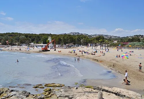 Playa Moraira Strand, Teulada12 km SW
-
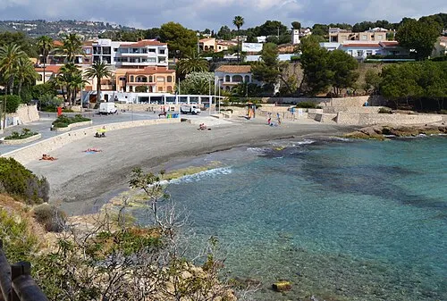 platja de la Fustera Strand, Provinz Alicante16 km SW
-
Playa La Galera Strand, Provinz Alicante13 km SW
-
Playa Denia Strand, Dénia15 km NW
Quellen & Lizenzen
Daten zuletzt aktualisiert: · 2 unabhängige Quellen