Derby
Liegt in England, Vereinigtes Königreich Koordinaten: 52°55′15″ N 1°28′20″ W
Der Name dieses Ortes wurde in dieser Sprache noch nicht verifiziert und wird in der Originalform angezeigt.
- Einwohner
- 274.149
- 274.149
- Höhe
- 58 m
- über dem Meeresspiegel
- Ortszeit
- UTC+00:00
- Europe/London · UTC+00:00
- Orte darin
- 27
- unter Derby verzeichnet
Über Derby
Derby ist ein Bezirk. Lage: England, Vereinigtes Königreich. Einwohner: 274.149.
Im Vergleich
- 15 Sehenswürdigkeiten und Naturorte im Umkreis von 10 km Pride Park, Alvaston Park
- Hier verzeichnet: Stadtteil: 12, Dorf: 7, Kleinstadt: 3, Stadt: 1
Orte in Derby
27 Orte-
Derby Stadt270.468
-
Littleover Dorf23.958
-
Mickleover Dorf18.000
-
Alvaston Dorf16.255
-
Sinfin Kleinstadt15.128
-
Oakwood Kleinstadt13.419
-
Chaddesden Kleinstadt13.413
-
Spondon Dorf12.377
-
Allestree Dorf
-
Allestree Park Berg
-
Alvaston Park Naturgebiet
-
Breadsall Hilltop Stadtteil
-
Crewton Stadtteil
-
Darley Abbey Dorf
-
Derby War Memorial Village Stadtteil
-
Holme Nook Insel
-
Litchurch Stadtteil
-
Little Chester Stadtteil
-
Mackworth Estate Stadtteil
-
Markeaton Stadtteil
-
New Zealand Stadtteil
-
Normanton Dorf
-
Pride Park Wahrzeichen
-
Rose Hill Stadtteil
-
Shelton Lock Stadtteil
-
The Holmes Stadtteil
-
Wilmorton Stadtteil
Sehenswertes & Natur in der Nähe
Alles in der Nähe-
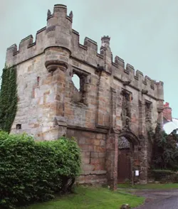 Mackworth Castle Historische Stätte, Mackworth4,5 km W
-
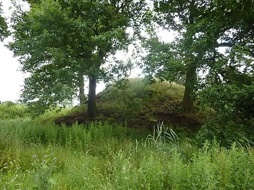 Motte south-west of Morley House Farm Historische Stätte, Morley6,1 km NO
-
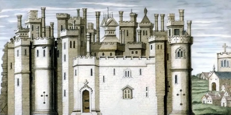 Melbourne Castle Historische Stätte, Melbourne11 km S
-
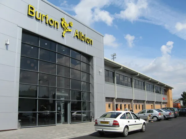 Pirelli Stadium Wahrzeichen, Horninglow and Eton15 km SW
-
Donington Castle Historische Stätte, Castle Donington13 km SO
-
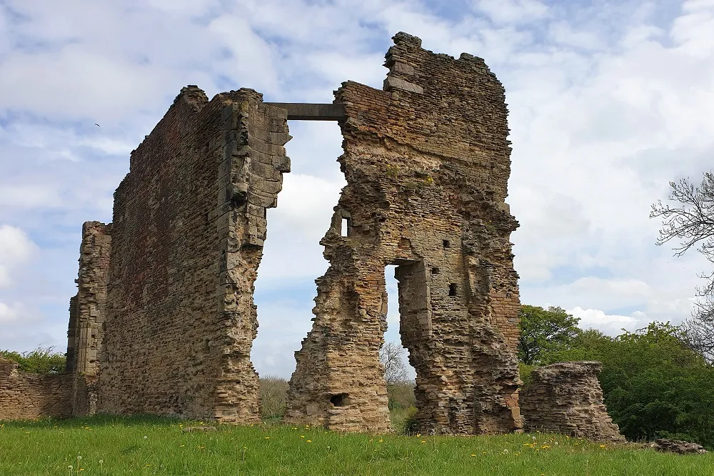 Codnor Castle Historische Stätte, Aldercar and Langley Mill16 km NO
Quellen & Lizenzen
Daten zuletzt aktualisiert: