Egleton
Liegt in Rutland, England Koordinaten: 52°39′26″ N 0°42′47″ W
Der Name dieses Ortes wurde in dieser Sprache noch nicht verifiziert und wird in der Originalform angezeigt.
- Höhe
- 98 m
- über dem Meeresspiegel
- Ortszeit
- UTC+00:00
- Europe/London · UTC+00:00
- Orte darin
- 1
- unter Egleton verzeichnet
Über Egleton
Egleton ist eine Gemeinde. Lage: Rutland, England. Höhe: 98 m.
Im Vergleich
- Nächstgrößerer Ort: Oakham, 2 km NW
- 13 Sehenswürdigkeiten und Naturorte im Umkreis von 10 km Brown's Island, Oakham Castle
Orte in Egleton
1 Ort-
Egleton Dorf
Sehenswertes & Natur in der Nähe
Alles in der Nähe-
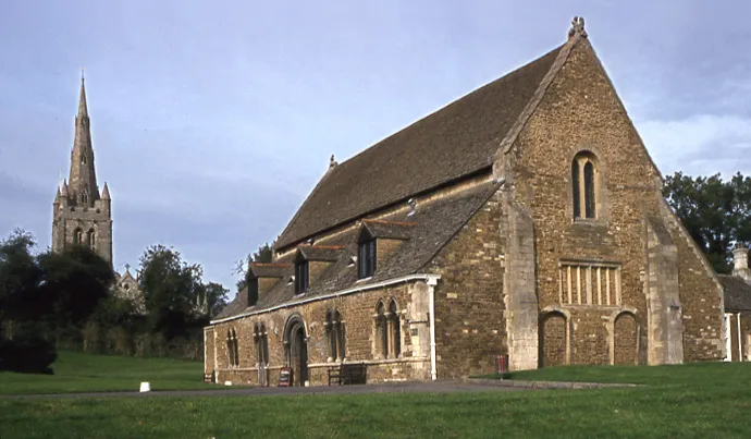 Oakham Castle Historische Stätte, Oakham1,8 km NW
-
Mount Alstoe Historische Stätte, Burley5,1 km NO
-
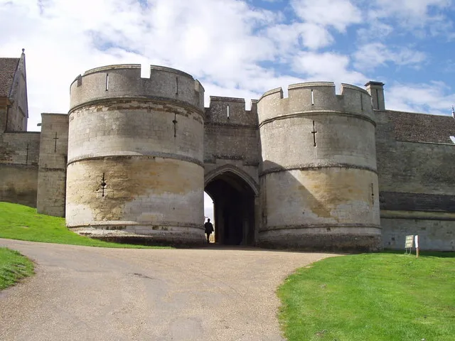 Rockingham Castle Historische Stätte, Rockingham16 km S
-
Garthorpe Motte Historische Stätte, Garthorpe14 km N
-
The Mount motte at Melton Mowbray Historische Stätte, Melton District17 km NW
-
Thorpe Arnold Historische Stätte, Waltham on the Wolds and Thorpe Arnold16 km NW
Quellen & Lizenzen
Daten zuletzt aktualisiert: