Nordirland
Name in Landessprache: Northern Ireland
Liegt in Vereinigtes Königreich Koordinaten: 54°30′00″ N 6°30′00″ W
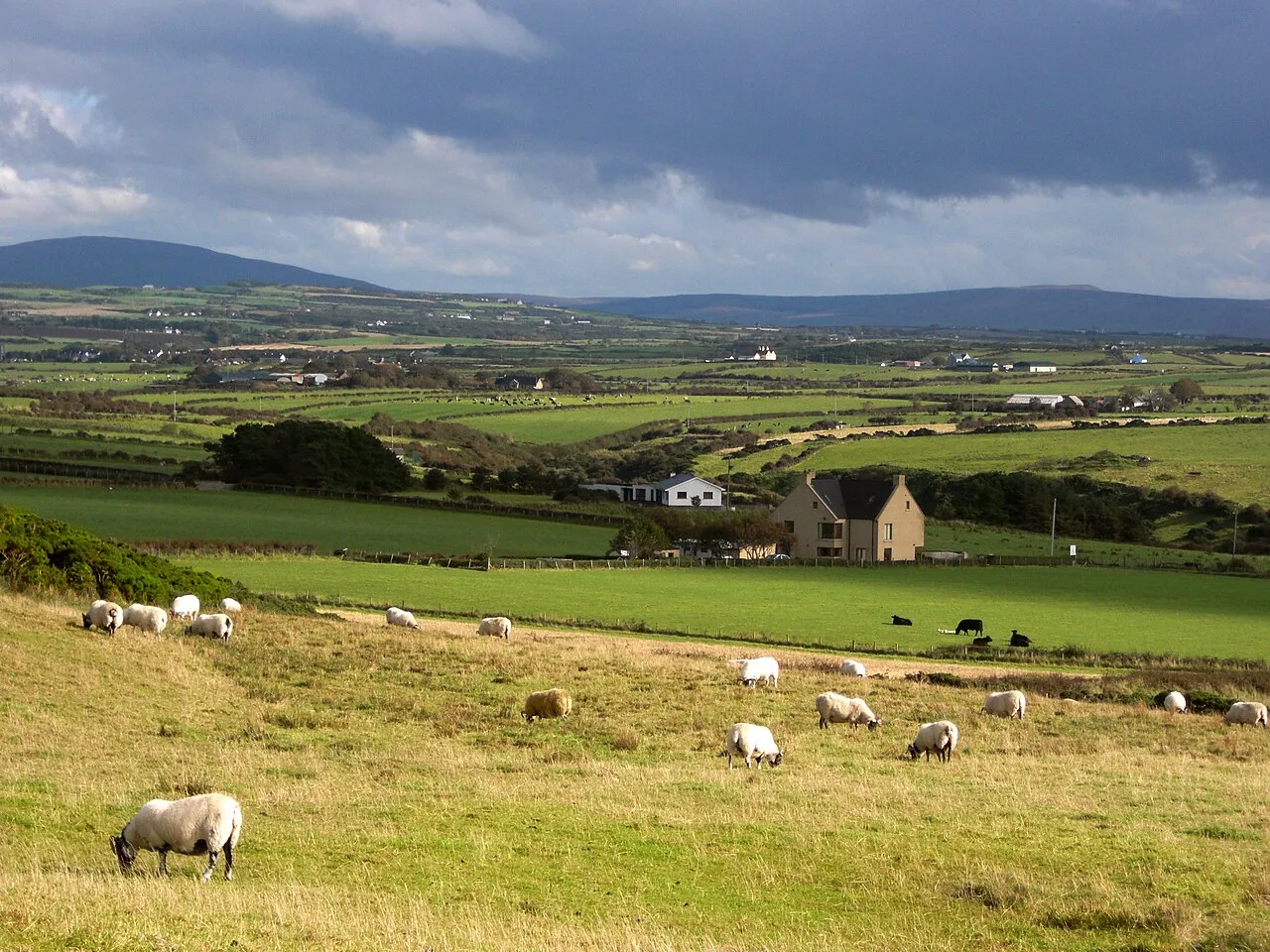
- Einwohner
- 1.910.543
- 1,9 Mio.
- Höhe
- 13 m
- über dem Meeresspiegel
- Ortszeit
- UTC+00:00
- Europe/London · UTC+00:00
- Orte darin
- 146
- unter Nordirland verzeichnet
Über Nordirland
Nordirland ist eine Region. Lage: Vereinigtes Königreich. Einwohner: 1.910.543.
Nordirland (englisch , irisch ) ist ein Landesteil des Vereinigten Königreichs Großbritannien und Nordirland. Es besteht aus sechs der neun Grafschaften der historischen irischen Provinz Ulster im Nordosten der Insel Irland. Nordirland ist dichter bevölkert als die Republik Irland, die den Rest der irischen Insel umfasst. Nordirland weist einen höheren Industrialisierungsgrad auf, aber die Republik Irland hat seit ungefähr dem Jahrtausendwechsel ein deutlich höheres Bruttoinlandsprodukt pro Kopf.
Weiterlesen bei Wikipedia Text: Wikipedia-Autoren · CC BY-SA 4.0 · gekürzt
Auf einen Blick
- Erbaut
- 1921
- Fläche
- 14.130 km²
Quelle: Wikidata
Im Vergleich
- 8 Sehenswürdigkeiten und Naturorte im Umkreis von 10 km River Bann, Reedy Flat
- Hier verzeichnet: Fluss: 70, See: 27, Naturgebiet: 19, Insel: 15
Orte in Nordirland
146 Orte-
Belfast Bezirk352.390
- 222.511
-
Newry Mourne and Down Bezirk183.115
-
Ards and North Down Bezirk165.415
-
Mid Ulster Bezirk152.718
-
Derry City and Strabane Bezirk152.383
-
Lisburn and Castlereagh Bezirk151.669
-
Antrim and Newtownabbey Bezirk148.100
-
Causeway Coast and Glens Bezirk141.954
-
Mid and East Antrim Bezirk139.913
-
Fermanagh and Omagh Bezirk117.687
-
Agivey River Fluss
-
Altachulle Bay Naturgebiet
-
Altmore River Fluss
-
Antrim Bay Naturgebiet
-
Arney River Fluss
-
Ballinderry River Fluss
-
Ballybannan River Fluss
-
Ballygomartin River Fluss
-
Ballyhalbert Bay Naturgebiet
-
Ballyhornan Bay Naturgebiet
-
Belfast Lough Naturgebiet
-
Black River Fluss
-
Boa Island Insel
-
Braid River Fluss
-
Breckagh Burn Fluss
-
Broughderg River Fluss
-
Burial Island Insel
-
Burn Dennet Fluss
-
Burntollet River Fluss
-
Bush River Fluss
-
Callan River Fluss
-
Camowen River Fluss
-
Cappagh Burn Fluss
-
Carey River Fluss
-
Carrick-a-Rede Insel
-
Carrick Lough See
-
Castle River Fluss
-
Church Bay Naturgebiet
-
Clady Water Fluss
-
Clarebane River Fluss
-
Claudy River Fluss
-
Clay Lake See
-
Cloghfin River Fluss
-
Clogh River Fluss
-
Cloghy Bay Naturgebiet
-
Colebrooke River Fluss
-
Coneyglen Burn Fluss
-
Coney Island Insel
-
Copeland Island Insel
-
Corliss Lough See
-
Crumlin River Fluss
-
Curly River Fluss
-
Cusher River Fluss
-
Douglas Burn Fluss
-
Drumboy Lough See
-
Drumragh River Fluss
-
Dundrum Bay Naturgebiet
-
Dundrum Inner Bay North Naturgebiet
Größte Städte und Orte
-
Lisburn Stadt, Lisburn and Castlereagh77.506
-
Newtownabbey Stadt, Antrim and Newtownabbey63.860
-
Newtownards Stadt, Ards and North Down29.363
-
Coleraine Stadt, Causeway Coast and Glens25.681
-
Holywood Kleinstadt, Ards and North Down13.109
-
Limavady Kleinstadt, Causeway Coast and Glens11.279
-
Dundonald Kleinstadt, Lisburn and Castlereagh13.985
-
Belfast Stadt, Belfast348.005
Natur und Kulturerbe: Nordirland
-
Trostan Berg, Causeway Coast and Glens
-
Slieve-na-Aura Berg, Causeway Coast and Glens
-
Mahee Island Insel, Ards and North Down
-
Slievenanee Berg, Mid and East Antrim
-
Slievemartin Berg, Newry Mourne and Down
-
Shean Berg, Fermanagh and Omagh
Quellen & Lizenzen
Daten zuletzt aktualisiert: · 2 unabhängige Quellen