Caerphilly
Liegt in Caerphilly County Borough, Wales Koordinaten: 51°34′18″ N 3°13′08″ W
Der Name dieses Ortes wurde in dieser Sprache noch nicht verifiziert und wird in der Originalform angezeigt.
- Höhe
- 107 m
- über dem Meeresspiegel
- Ortszeit
- UTC+00:00
- Europe/London · UTC+00:00
- Orte darin
- 11
- unter Caerphilly verzeichnet
Über Caerphilly
Caerphilly ist eine Gemeinde. Lage: Caerphilly County Borough, Wales. Höhe: 107 m.
Im Vergleich
- Nächstgrößerer Ort: Caerphilly, 0 km N
- 45 Sehenswürdigkeiten und Naturorte im Umkreis von 10 km Caerphilly Castle, Caerphilly Common
- Hier verzeichnet: Stadtteil: 6, Historische Stätte: 2, Berg: 2, Kleinstadt: 1
Flughäfen in der Nähe von Caerphilly
- Cardiff International Airport (CWL) Cardiff 21 km
- Bristol Airport (BRS) Bristol 41 km
- Exeter International Airport (EXT) Exeter, Devon 94 km
Luftlinie; nur Flughäfen mit Linienflügen. Quelle: OurAirports (gemeinfrei).
Orte in Caerphilly
11 Orte-
Caerphilly Kleinstadt31.060
-
Bondfield Park Stadtteil
-
Bryngwyn Stadtteil
-
Caerphilly Castle Historische Stätte
-
Caerphilly Common Berg
-
Cefncarnau Berg
-
Churchill Park Stadtteil
-
Denscombe Stadtteil
-
Morgraig Castle Historische Stätte
-
Pwllypant Stadtteil
-
St Martins Stadtteil
Sehenswertes & Natur in der Nähe
Alles in der Nähe-
Gwern y Domen motte-and-bailey Historische Stätte, Van2,3 km NO
-
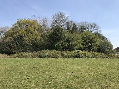 Twmpath Motte Historische Stätte, Rhiwbina4,4 km S
-
Ysgubor Wen Motte Historische Stätte, Llanishen4,2 km S
-
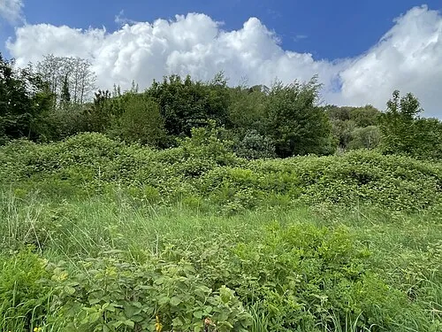 Morganstown Castle Mound Historische Stätte, Radyr and Morganstown5,5 km SW
-
Tomen y Clawdd Historische Stätte, Llantwit Fardre6,5 km W
-
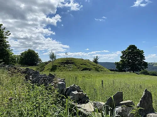 Twyn Tudur Historische Stätte, Ynysddu8,1 km NO
-
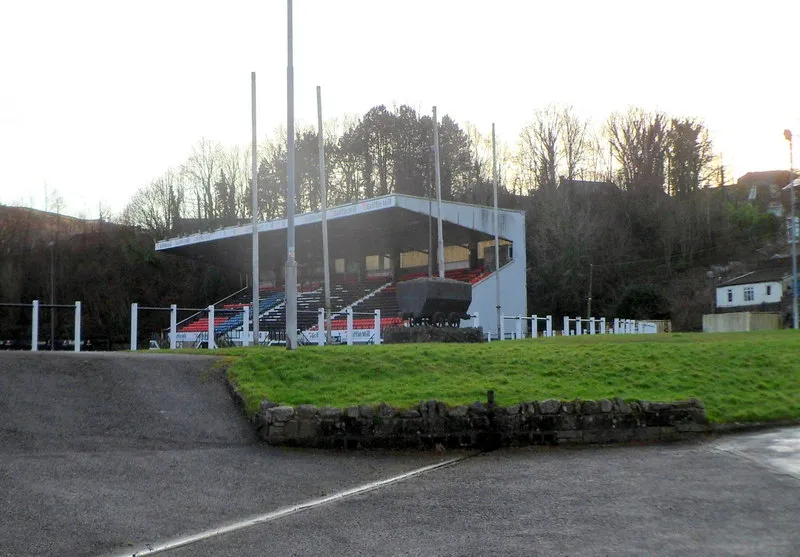 Sardis Road Wahrzeichen, Pontypridd9,5 km W
-
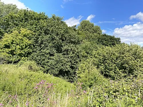 Caer Castell Historische Stätte, Rumney9,4 km SO
Weitere Städte und Orte in Caerphilly County Borough
-
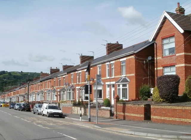 Ystrad Mynach Stadt, Gelligaer8 km N
-
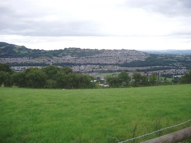 Risca Kleinstadt, Risca9,1 km NO
-
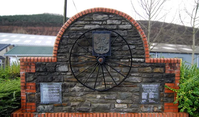 Abercarn Kleinstadt, Abercarn10 km NO
Quellen & Lizenzen
Daten zuletzt aktualisiert: