Kerk-Avezaath
Situado en Buren Municipality, Güeldres Coordenadas: 51°53′51″ N 5°22′55″ E
- Altitud
- 5 m
- sobre el nivel del mar
- Hora local
- UTC+01:00
- Europe/Amsterdam · UTC+01:00
Acerca de Kerk-Avezaath
Kerk-Avezaath es un pueblo. Ubicación: Buren Municipality, Güeldres. Altitud: 5 m.
En comparación
Aeropuertos más cercanos a Kerk-Avezaath
- Eindhoven Airport (EIN) Eindhoven 50 km
- Weeze (Niederrhein) Airport (NRN) Weeze 62 km
- Amsterdam Airport Schiphol (AMS) Amsterdam 62 km
Distancia en línea recta; solo aeropuertos con vuelos regulares. Fuente: OurAirports (dominio público).
Atracciones y naturaleza cercanas
Todo lo cercano-
Paasheuvel Montaña, Rhenen Municipality15 km NE
-
Amerongsche Berg Montaña, Gemeente Utrechtse Heuvelrug14 km NE
-
Elsterberg Montaña, Rhenen Municipality14 km NE
-
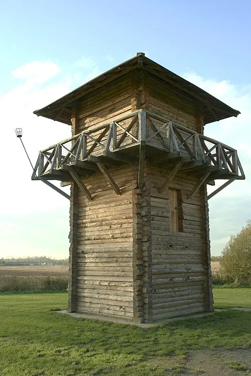 Fectio Sitio histórico, Bunnik Municipality23 km NO
-
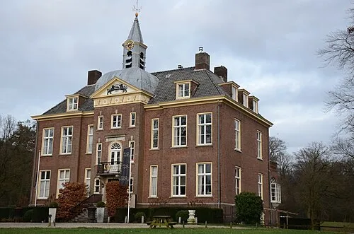 Kasteel Hoekelum Sitio histórico, Ede Municipality24 km NE
-
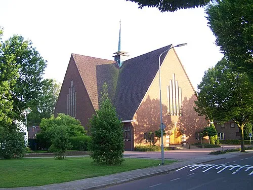 Nieuwe Kerk Atracción turística, Ede Municipality25 km NE
Fuentes y licencias
Datos actualizados por última vez: · 2 fuentes independientes