Simonburn
Situado en Northumberland, Inglaterra Coordenadas: 55°03′04″ N 2°16′17″ O
El nombre de este lugar aún no se ha verificado en este idioma; se muestra en su forma original.
- Altitud
- 242 m
- sobre el nivel del mar
- Hora local
- UTC+00:00
- Europe/London · UTC+00:00
- Lugares incluidos
- 6
- clasificados en Simonburn
Acerca de Simonburn
Simonburn es un municipio. Ubicación: Northumberland, Inglaterra. Altitud: 242 m.
En comparación
- Localidad mayor más cercana: Haydon Bridge, a 9 km (S)
- 45 lugares de interés y naturales a menos de 10 km Carraw Tower, Sewingshields Castle
- Incluye: Sitio histórico: 2, Isla: 1, Monumento: 1, Montaña: 1
Lugares en Simonburn
6 lugares-
Sewingshields Castle Sitio histórico
-
Simonburn Pueblo
-
Simonburn Castle and Tower House Sitio histórico
-
Simonburn Rectory Monumento
-
The Island Isla
-
Walwick Fell Montaña
Atracciones y naturaleza cercanas
Todo lo cercano-
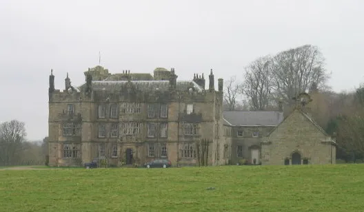 Chipchase Castle Sitio histórico, Chollerton6,1 km NE
-
Bell Crags Montaña, Wark5,5 km O
-
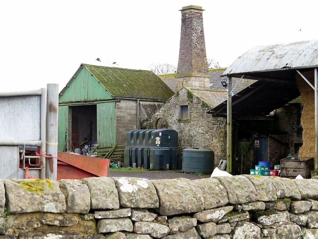 Thornton Tower Monumento, Newbrough6,6 km SE
-
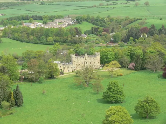 Haughton Castle Sitio histórico, Humshaugh9,2 km E
-
Motte and bailey castle on Money Hill Sitio histórico, Chollerton8,5 km E
Fuentes y licencias
Datos actualizados por última vez: