Thuringe
Nom local: Freistaat Thüringen
Situé dans Allemagne Coordonnées: 50°55′00″ N 11°00′00″ E
- Population
- 2 120 237
- 2,1 M
- Altitude
- 266 m
- au-dessus du niveau de la mer
- Heure locale
- UTC+01:00
- Europe/Berlin · UTC+01:00
- Lieux rattachés
- 726
- classés sous Thuringe
À propos : Thuringe
Thuringe est une région. Situation : Allemagne. Population : 2 120 237.
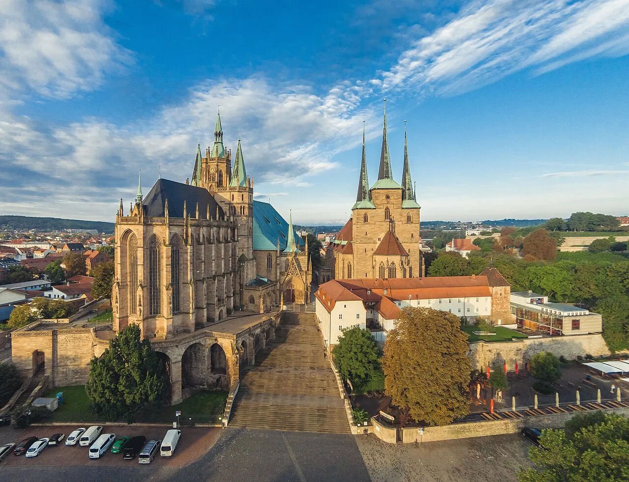
La Thuringe (/ty.ʁɛ̃ʒ/ ; en allemand : Thüringen ), officiellement l’État libre de Thuringe (en allemand : Freistaat Thüringen), est un Land de la République fédérale d'Allemagne. État fédéré situé au centre du pays, il est le douzième en nombre d'habitants et le onzième en superficie. Sa capitale est Erfurt et son ministre-président Mario Voigt.
Lire la suite sur Wikipédia Texte : contributeurs de Wikipédia · CC BY-SA 4.0 · abrégé
En bref
- Construction
- 1920
- Superficie
- 16 171 km²
Source : Wikidata
En comparaison
- 43 sites et lieux naturels à moins de 10 km Mittelberg, Apfelstädt
- Recensés ici : Site naturel: 312, Cours d’eau: 308, Lac: 37, Montagne: 25
Lieux : Thuringe
726 lieux-
Blankeneck Montagne
-
Bliedebach Cours d’eau
-
Bode Cours d’eau
-
Bode River Cours d’eau
-
Bornklingerbach Cours d’eau
-
Brahme Cours d’eau
-
Brandesbach Cours d’eau
-
Breitenbach Cours d’eau
-
Breitenbach Cours d’eau
-
Brotteroder Wald Site naturel
-
Brünn Cours d’eau
-
Buchbach Cours d’eau
-
Christeser Grund Site naturel
-
Christiansgrün Village
-
Comthureiholz Site naturel
-
Dambach Cours d’eau
-
Dambachsgrund Site naturel
-
Demmesgrund Site naturel
-
Dermbach Cours d’eau
-
Deutschebach Cours d’eau
-
Dietharzer Grund Site naturel
-
Dingelstädter Stadtwald Site naturel
-
Dipperstal Site naturel
-
Dornholz Village
-
Dorschenmühle Village
-
Dreba Cours d’eau
-
Drehbachgrund Site naturel
-
Dreisbach Cours d’eau
-
Dudelteich Lac
-
Dürrbach Cours d’eau
-
Dürrer Grund Site naturel
-
Ebertsgrund Site naturel
-
Ehrlichbach Cours d’eau
-
Eichensteinwald Site naturel
-
Eichert Site naturel
-
Eichholz Site naturel
-
Ellbach Cours d’eau
-
Ellricher Stadtwald Site naturel
-
Elte Cours d’eau
-
Emse Cours d’eau
-
Engnitz Cours d’eau
-
Erbsgrund Site naturel
-
Erbstrom Cours d’eau
-
Erlgraben Cours d’eau
-
Farlesbach Cours d’eau
-
Farnbach Cours d’eau
-
Felchtaer Bach Cours d’eau
-
Felda Cours d’eau
-
Fernebach Cours d’eau
-
Finsterer Grund Site naturel
-
Fischgraben Cours d’eau
-
Flohbach Cours d’eau
-
Floßbach Cours d’eau
-
Floßgraben Cours d’eau
-
Flutgraben Cours d’eau
-
Folschbach Cours d’eau
-
Forst Arnstadt Site naturel
-
Forst Bad Berka Ost Site naturel
-
Forst Bad Berka West Site naturel
Principales villes
Nature et patrimoine : Thuringe
-
Buchenwald Site historique, Weimar48 k
-
Zipptannskuppe Montagne, Saalfeld/Saale
-
Zellerkopf Montagne, Dermbach
Autres régions : Allemagne
-
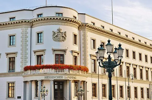 Hesse Région, Allemagne147 km O
-
 Saxe-Anhalt Région, Allemagne131 km NE
-
Basse-Franconie District, Bavière124 km SO
-
Haute-Franconie District, Bavière123 km S
-
District de Kassel District, Hesse114 km O
Sources et licences
Données mises à jour le: · 2 sources indépendantes