Thuringe
Nom local: Freistaat Thüringen
Situé dans Allemagne Coordonnées: 50°55′00″ N 11°00′00″ E
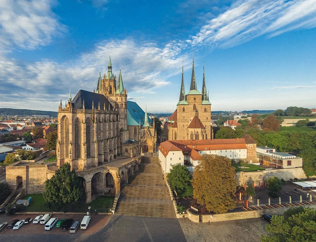
- Population
- 2 120 237
- 2,1 M
- Altitude
- 266 m
- au-dessus du niveau de la mer
- Heure locale
- UTC+01:00
- Europe/Berlin · UTC+01:00
- Lieux rattachés
- 726
- classés sous Thuringe
À propos : Thuringe
Thuringe est une région. Situation : Allemagne. Population : 2 120 237.
En comparaison
- 43 sites et lieux naturels à moins de 10 km Mittelberg, Apfelstädt
- Recensés ici : Site naturel: 312, Cours d’eau: 308, Lac: 37, Montagne: 25
Lieux : Thuringe
726 lieux-
Kreisfreie Stadt Erfurt Commune218,8 k
-
Wartburgkreis Commune155 k
-
Landkreis Gotha Commune135,8 k
-
Landkreis Schmalkalden-Meiningen Commune120,2 k
-
Kreisfreie Stadt Jena Commune109,7 k
-
Ilm-Kreis Commune106,7 k
-
Arrondissement dEichsfeld Commune103,7 k
- 100,1 k
-
Kreisfreie Stadt Gera Commune95,6 k
-
Unstrut-Hainich-Kreis Commune94,6 k
-
Landkreis Greiz Commune93,7 k
-
Altenburger Land Commune87,5 k
-
Saale-Holzland-Kreis Commune83,3 k
-
Arrondissement du Pays-de-Weimar Commune82,4 k
-
Landkreis Nordhausen Commune80,8 k
-
Saale-Orla-Kreis Commune77,3 k
-
Kyffhäuserkreis Commune71,7 k
-
Landkreis Sömmerda Commune67,7 k
-
Kreisfreie Stadt Weimar Commune66 k
-
Landkreis Hildburghausen Commune60 k
-
Landkreis Sonneberg Commune55 k
-
Kreisfreie Stadt Suhl Commune34,7 k
-
Krötenmühle Village9
-
Abtswald Site naturel
-
Albabach Cours d’eau
-
Allrichberg Montagne
-
Altenwasser Cours d’eau
-
Alter Busch Site naturel
-
Alter Teich Lac
-
Angerbach Cours d’eau
-
Angerholz Site naturel
-
Apfelstädt Cours d’eau
-
Apfelstädt Cours d’eau
-
Apfelstädtgrund Site naturel
-
Appental Site naturel
-
Arnsbach Cours d’eau
-
Arnsbachtal Site naturel
-
Ascharaerbach Cours d’eau
-
Aschen-Berg Montagne
-
Attichbach Cours d’eau
-
Aubach Cours d’eau
-
Augrund Site naturel
-
Auma Cours d’eau
-
Badensee Lac
-
Badraer Bach Cours d’eau
-
Bahrenteich Lac
-
Balzertal Site naturel
-
Bärenwinkel Site naturel
-
Bauerbach Cours d’eau
-
Bauerngrund Site naturel
-
Beberbach Cours d’eau
-
Beberstedter Wald Site naturel
-
Beer-Berge Montagne
-
Bendelebener Gutsforst Site naturel
-
Bere Cours d’eau
-
Bettel Montagne
-
Bibra River Cours d’eau
-
Bieberbach Cours d’eau
-
Biene Site naturel
-
Birkert Site naturel
Nature et patrimoine : Thuringe
-
Buchenwald Site historique, Weimar
-
Zipptannskuppe Montagne, Saalfeld/Saale
Autres régions : Allemagne
-
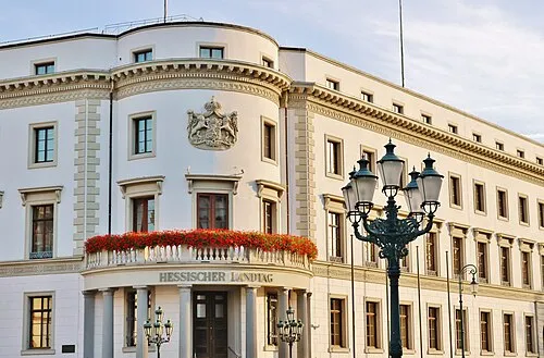 Hesse Région, Allemagne147 km O
-
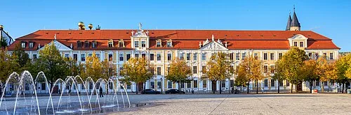 Saxe-Anhalt Région, Allemagne131 km NE
-
Basse-Franconie District, Bavière124 km SO
-
Haute-Franconie District, Bavière123 km S
-
District de Kassel District, Hesse114 km O
Sources et licences
Données mises à jour le: · 2 sources indépendantes