Apfelstädtgrund
Situé dans Thuringe, Allemagne Coordonnées: 50°46′04″ N 10°35′28″ E
- Altitude
- 578 m
- au-dessus du niveau de la mer
- Heure locale
- UTC+01:00
- Europe/Berlin · UTC+01:00
À propos : Apfelstädtgrund
Apfelstädtgrund est un site naturel. Situation : Thuringe, Allemagne.
En comparaison
- 102 sites et lieux naturels à moins de 10 km Forst Tambach, Mittelwassergrund
Villes et villages les plus proches
-
Oberschönau Village, Steinbach-Hallenberg, Kurort6 km S
-
Finsterbergen Village, Friedrichroda7,4 km N
-
Kleinschmalkalden Village, Floh-Seligenthal8,8 km O
-
Steinbach-Hallenberg Petite ville, Steinbach-Hallenberg, Kurort8,2 km S
-
Struth-Helmershof Village, Floh-Seligenthal6,4 km SO
-
Georgenthal Petite ville, Georgenthal8,7 km NE
Sites et nature à proximité
Tout ce qui est proche-
Mittelwassergrund Site naturel, Thuringe1,8 km E
-
Nessel-Berg Montagne, Floh-Seligenthal2 km O
-
Loibe Montagne, Floh-Seligenthal2,6 km SO
-
Roß-Kopf Montagne, Tambach-Dietharz/Thür. Wald2,7 km SE
-
Kirch-Berg Montagne, Tambach-Dietharz/Thür. Wald2,9 km E
-
Schmalkalder Loibe Montagne, Tambach-Dietharz/Thür. Wald3,3 km S
-
Glas-Berg Montagne, Floh-Seligenthal3,4 km NO
-
Großer Buchen-Berg Montagne, Tambach-Dietharz/Thür. Wald3,5 km SE
Autres sites naturels : Allemagne
-
Salz-Kopf Montagne, Floh-Seligenthal3,5 km SO
-
Oberlauten-Berg Montagne, Steinbach-Hallenberg, Kurort3,7 km S
-
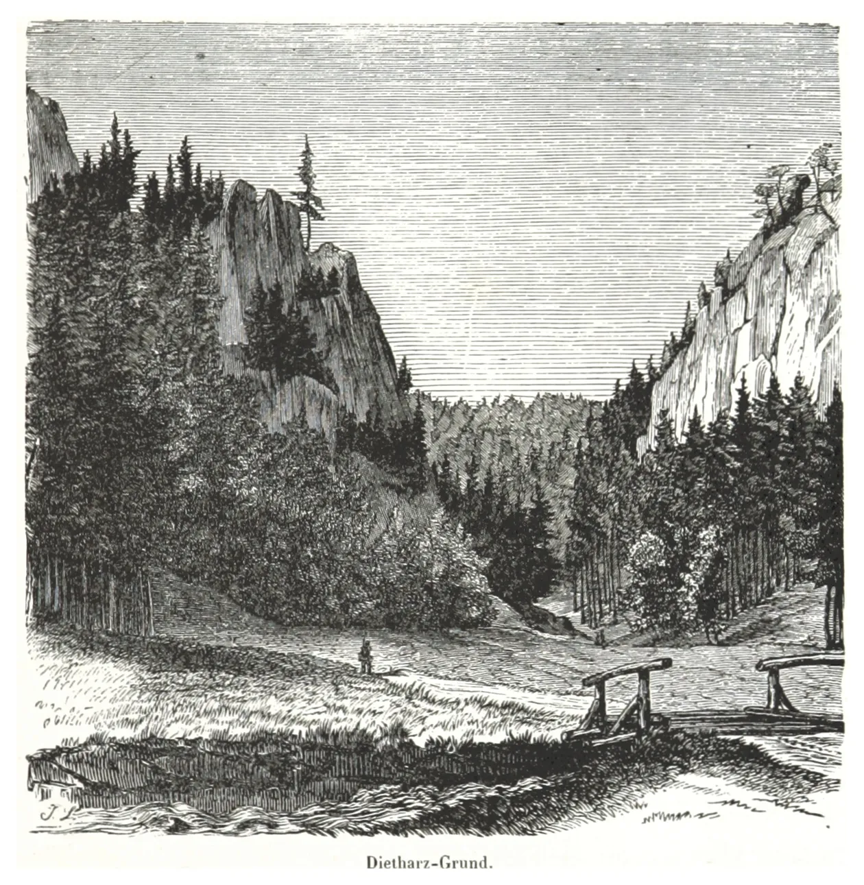 Dietharzer Grund Site naturel, Thuringe4,5 km NE
-
Gallberg Montagne, Tambach-Dietharz/Thür. Wald4 km NE
-
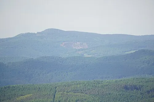 Mönchstein Montagne, Floh-Seligenthal5,4 km O
-
Hinterer Höhenberg Montagne, Floh-Seligenthal4,9 km NO
Sources et licences
Données mises à jour le: · 2 sources indépendantes