Rottensteiner Tal
Situé dans Carinthie, Autriche Coordonnées: 46°47′29″ N 13°14′24″ E
- Altitude
- 1 258 m
- au-dessus du niveau de la mer
- Heure locale
- UTC+01:00
- Europe/Vienna · UTC+01:00
À propos : Rottensteiner Tal
Rottensteiner Tal est un site naturel. Situation : Carinthie, Autriche.
En comparaison
- 29 sites et lieux naturels à moins de 10 km Stagor, Gaugen
Sites et nature à proximité
Tout ce qui est proche-
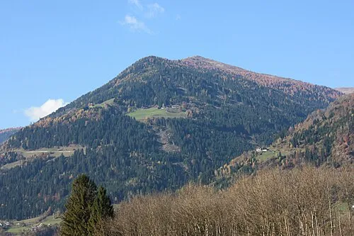 Gaugen Montagne, Steinfeld2,3 km O
-
Neuberg Montagne, Kleblach-Lind2,4 km E
-
Lenkenspitz Montagne, Sachsenburg2,5 km NE
-
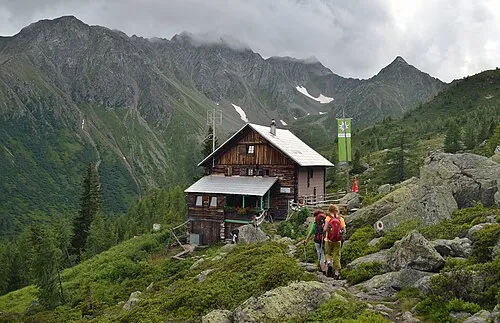 Grakofel Montagne, Sachsenburg4,9 km N
-
Törl Montagne, Kleblach-Lind4,7 km E
-
Schanitzentörl Montagne, Greifenburg5,2 km NO
-
Stawipfel Montagne, Greifenburg5,8 km NO
-
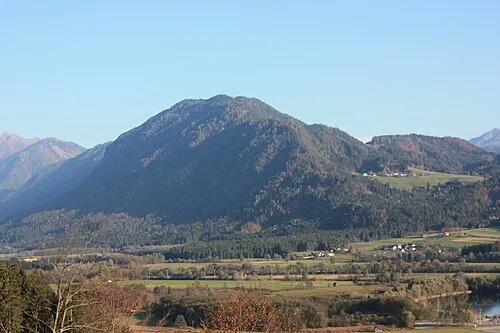 Nockberg Montagne, Steinfeld6,4 km S
Autres sites naturels : Autriche
-
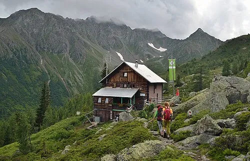 Geierspitz Montagne, Reißeck6,5 km N
-
Schroneck Montagne, Reißeck6,2 km N
-
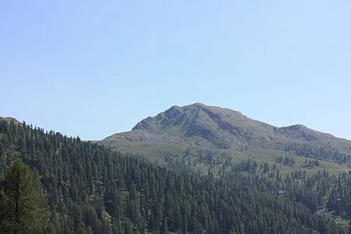 Knoten Montagne, Dellach im Drautal9,7 km O
-
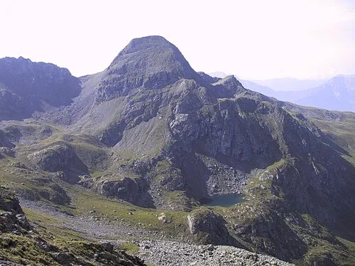 Hochtristen Montagne, Greifenburg7,9 km O
-
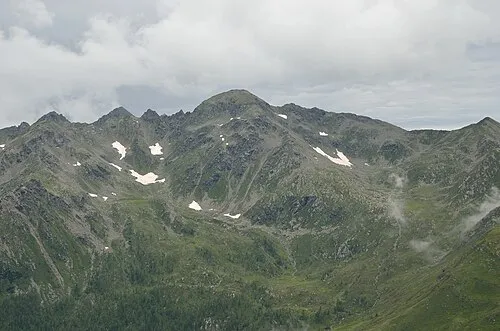 Grafische Tristen Montagne, Greifenburg8,6 km O
-
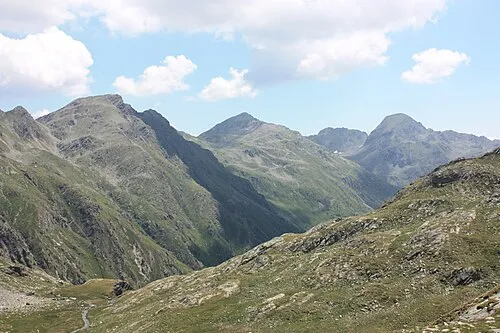 Plattachkopf Montagne, Greifenburg9,4 km O
Sources et licences
Données mises à jour le: · 2 sources indépendantes