Metnitz
Situé dans Sankt Veit an der Glan District, Carinthie Coordonnées: 46°59′06″ N 14°09′38″ E
Le nom de ce lieu n'a pas encore été vérifié dans cette langue ; il est affiché sous sa forme d'origine.
- Population
- 2 023
- 2 k
- Altitude
- 1 128 m
- au-dessus du niveau de la mer
- Heure locale
- UTC+01:00
- Europe/Vienna · UTC+01:00
- Lieux rattachés
- 41
- classés sous Metnitz
À propos : Metnitz
Metnitz est une commune. Situation : Sankt Veit an der Glan District, Carinthie. Population : 2 023. Altitude : 1 128 m.
En comparaison
- Sankt Veit an der Glan District : n° 10 sur 20 lieux par population
- Localité plus grande la plus proche : Weitensfeld im Gurktal, à 14 km (S)
- 33 sites et lieux naturels à moins de 10 km Wöbringbach, Leitnereck
- Recensés ici : Village: 22, Montagne: 16, Attraction touristique: 2, Site naturel: 1
Aéroports les plus proches de Metnitz
- Klagenfurt Airport (KLU) Klagenfurt am Wörthersee 40 km
- Ljubljana Jože Pučnik Airport (LJU) Zgornji Brnik 88 km
- Graz Airport (GRZ) Feldkirchen bei Graz 97 km
Distance à vol d’oiseau ; uniquement les aéroports avec vols réguliers. Source : OurAirports (domaine public).
Lieux : Metnitz
41 lieux-
Metnitz Village515
-
Grades Village322
-
Teichl Village168
-
Feistritz Village133
-
Vellach Village110
-
Preining Village70
-
Wöbring Village70
-
Schwarzenbach Village62
-
Unteralpe Village62
-
Mödring Village57
-
Schnatten Village25
-
Zanitzberg Village20
-
Oberalpe Village11
-
Auen Village9
-
Eselberg Montagne
-
Fleischbank Montagne
-
Geierkogel Montagne
-
Grossbergner Village
-
Gully Felfernig Village
-
Hirschstein Montagne
-
Kärntnerisch Laßnitz Village
-
Kranawettriegel Montagne
-
Kuchalm Montagne
-
Kuster Montagne
-
Ladinigriegel Montagne
-
Leitnereck Montagne
-
Lichtberg Montagne
-
Maria Höfl Attraction touristique
-
Maria Höll Attraction touristique
-
Metnitztal Site naturel
-
Mödringberg Montagne
-
Mödring-Schattseite Village
-
Mödring-Sonnseite Village
-
Oberhof-Schattseite Village
-
Oberhof-Sonnseite Village
-
Oberrieger Village
-
Preining Montagne
-
Preininger Kuster Montagne
-
Saumarkt Montagne
-
Tonerhöhe Montagne
-
Untere Wänden Montagne
Sites et nature à proximité
Tout ce qui est proche-
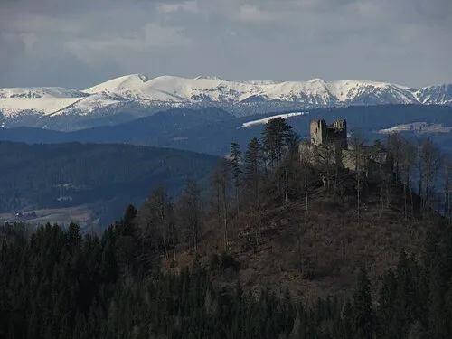 Prankerhöhe Montagne, Stadl-Predlitz8 km NO
-
Gadotratte Montagne, Weitensfeld im Gurktal8,6 km SE
-
Salzerkopf Montagne, Straßburg10 km SE
-
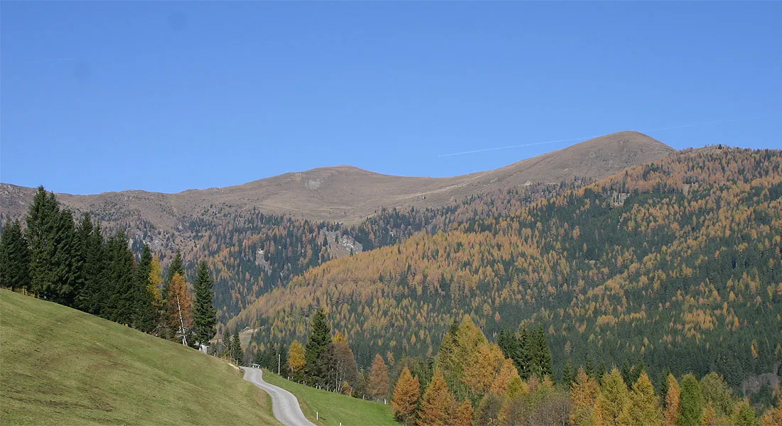 Alpes de Gurktal Montagne, Carinthie14 km SO
-
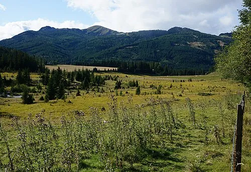 Dammeggernock Montagne, Stadl-Predlitz13 km O
-
Gurktal Site naturel, Carinthie15 km SE
Sources et licences
Données mises à jour le: