Heiligenblut
Situé dans Spittal an der Drau District, Carinthie Coordonnées: 47°02′57″ N 12°48′16″ E
Le nom de ce lieu n'a pas encore été vérifié dans cette langue ; il est affiché sous sa forme d'origine.
- Population
- 1 031
- 1 k
- Altitude
- 1 451 m
- au-dessus du niveau de la mer
- Heure locale
- UTC+01:00
- Europe/Vienna · UTC+01:00
- Lieux rattachés
- 67
- classés sous Heiligenblut
À propos : Heiligenblut
Heiligenblut est une commune. Situation : Spittal an der Drau District, Carinthie. Population : 1 031. Altitude : 1 451 m.
En comparaison
- Spittal an der Drau District : n° 29 sur 33 lieux par population
- Localité plus grande la plus proche : Heiligenblut am Großglockner, à 3 km (E)
- 150 sites et lieux naturels à moins de 10 km Kachelsee, Gößnitzfall
- Recensés ici : Montagne: 53, Village: 9, Attraction touristique: 2, Site naturel: 2
Lieux : Heiligenblut
67 lieux-
Heiligenblut am Großglockner Village1,1 k
-
Winkl Village184
-
Rojach Village136
-
Apriach Village121
-
Schachnern Village76
-
Albitzenspitz Montagne
-
Alwitzsch Montagne
-
Breitkopf Montagne
-
Bretterköpfe Montagne
-
Dritter Leiterkogel Montagne
-
Eichhorn Village
-
Elisabethfelsen Montagne
-
Elschberg Montagne
-
Erster Leiterkogel Montagne
-
Fleiss Village
-
Franz Josefs Höhe Montagne
-
Freiwandkasten Montagne
-
Freiwandkopf Montagne
-
Freiwandspitz Montagne
-
Fuscher-Kar-Kopf Montagne
-
Gipperkapelle Attraction touristique
-
Gjaidtroghöhe Montagne
-
Glocknergruppe Montagne
-
Glocknerhorn Montagne
-
Goldbergspitze Montagne
-
Großer Bärenkopf Montagne
-
Großer Hornkopf Montagne
-
Guttal Site naturel
-
Hahnlkamp Montagne
-
Hinteres Modereck Montagne
-
Hinterm Hap Montagne
-
Hocharn Montagne
-
Hoher Burgstall Montagne
-
Hoher Seekamp Montagne
-
Hörndl Montagne
-
Jöchlkopf Montagne
-
Johannisberg Montagne
-
Kapuziner Montagne
-
Kellerskopf Montagne
-
Kleiner Burgstall Montagne
-
Kleines Fleißtal Site naturel
-
Kracker Montagne
-
Kreuzkopf Montagne
-
Langtalköpfe Montagne
-
Marx Village
-
Mittlerer Burgstall Montagne
-
Mönchsberg Montagne
-
Pilatusscharte Montagne
-
Pricciuskapelle Attraction touristique
-
Racherin Montagne
-
Roter Knopf Montagne
-
Roter Mann Montagne
-
Schareck Montagne
-
Schattseitköpfl Montagne
-
Schildberg Montagne
-
Schulterkopf Montagne
-
Schwerteck Montagne
-
Schwertkopf Montagne
-
Sinwelleck Montagne
-
Talderkopf Montagne
Sites et nature à proximité
Tout ce qui est proche-
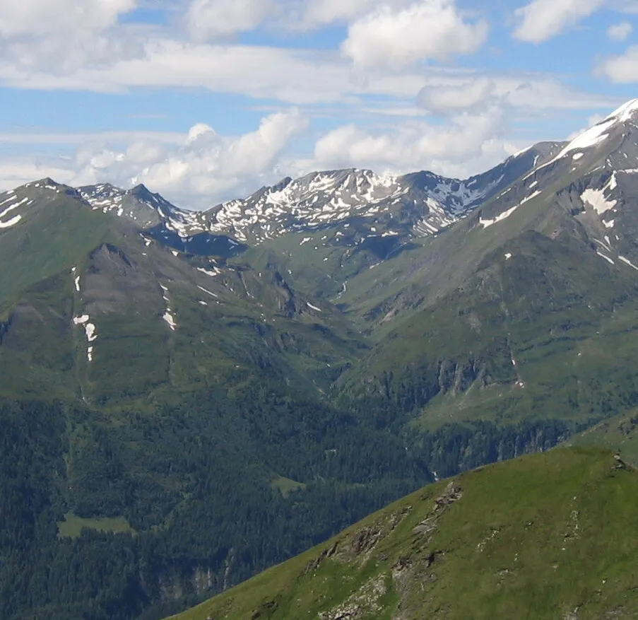 Leitertal Site naturel, Carinthie2,5 km NO
-
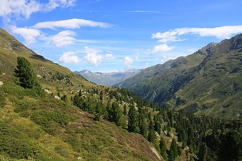 Gössnitz valley Site naturel, Carinthie3,9 km SO
-
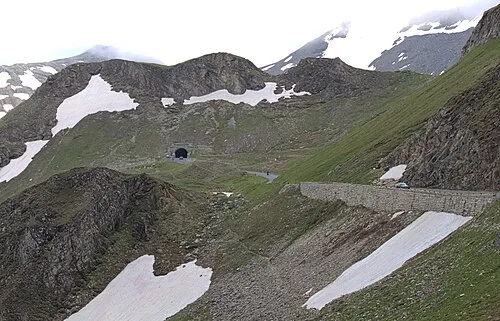 Hochtor Montagne, Rauris4,8 km NE
-
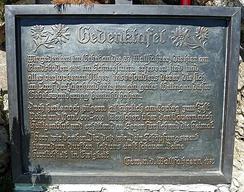 Elendboden Memorial Plaque Monument, Rauris6,1 km N
-
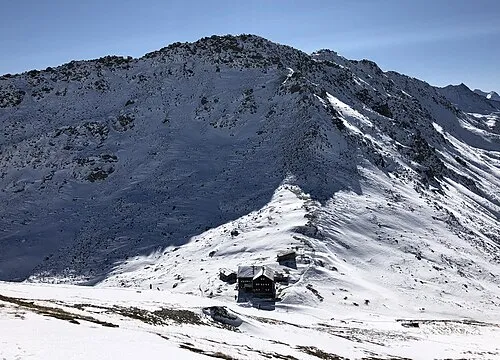 Kastenegg Montagne, Kals am Großglockner6,9 km O
Sources et licences
Données mises à jour le: