Wangenitztal
Situé dans Carinthie, Autriche Coordonnées: 46°56′06″ N 12°50′43″ E
- Altitude
- 1 823 m
- au-dessus du niveau de la mer
- Heure locale
- UTC+01:00
- Europe/Vienna · UTC+01:00
À propos : Wangenitztal
Wangenitztal est un site naturel. Situation : Carinthie, Autriche.
En comparaison
- 67 sites et lieux naturels à moins de 10 km Kreuzspitze, Kuhleitenkopf
Sites et nature à proximité
Tout ce qui est proche-
Kreuzspitze Montagne, Großkirchheim1,7 km N
-
Kuhleitenkopf Montagne, Winklern2,1 km S
-
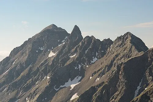 Seichenkopf Montagne, Winklern2,2 km S
-
Großbodenkopf Montagne, Iselsberg-Stronach3,3 km S
-
Graskopf Montagne, Großkirchheim3,6 km N
-
Zirknitztal Site naturel, Carinthie7 km NE
-
Strassboden Montagne, Winklern3,9 km S
-
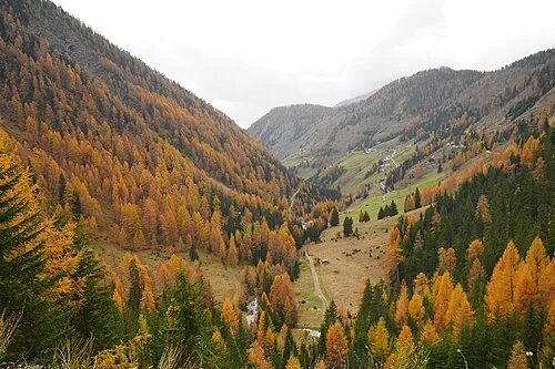 Astental Site naturel, Carinthie7,8 km E
Sources et licences
Données mises à jour le: · 2 sources indépendantes