Steyr-Land District
Situé dans Haute-Autriche, Autriche Coordonnées: 47°54′00″ N 14°28′00″ E
Le nom de ce lieu n'a pas encore été vérifié dans cette langue ; il est affiché sous sa forme d'origine.
- Population
- 60 114
- 60,1 k
- Altitude
- 547 m
- au-dessus du niveau de la mer
- Heure locale
- UTC+01:00
- Europe/Vienna · UTC+01:00
- Lieux rattachés
- 20
- classés sous Steyr-Land District
À propos : Steyr-Land District
Steyr-Land District est un district. Situation : Haute-Autriche, Autriche. Population : 60 114.
En comparaison
- 35 sites et lieux naturels à moins de 10 km Schieferstein, Reichramingbach
- Recensés ici : Commune: 20
Lieux : Steyr-Land District
20 lieux-
Sierning Commune9,3 k
-
Garsten Commune6,7 k
-
Bad Hall Commune5,1 k
-
Weyer Commune4,3 k
-
Ternberg Commune3,4 k
-
Dietach Commune3,2 k
-
Wolfern Commune3,2 k
-
Sankt Ulrich bei Steyr Commune3 k
-
Großraming Commune2,7 k
-
Aschach an der Steyr Commune2,2 k
-
Waldneukirchen Commune2,2 k
-
Pfarrkirchen bei Bad Hall Commune2,2 k
-
Gaflenz Commune1,9 k
-
Adlwang Commune1,8 k
-
Reichraming Commune1,7 k
-
Losenstein Commune1,6 k
-
Maria Neustift Commune1,6 k
-
Rohr im Kremstal Commune1,3 k
-
Laussa Commune1,2 k
-
Schiedlberg Commune1,2 k
Nature et patrimoine : Steyr-Land District
-
Schoberstein Montagne, Ternberg
-
Schieferstein Montagne, Reichraming
-
Spadenberg Montagne, Laussa
-
Schwarzberg Montagne, Garsten
-
Mieseck Montagne, Reichraming
-
Breitenberg Montagne, Weyer
Sites et nature à proximité
Tout ce qui est proche-
Pechgraben Site naturel, Haute-Autriche5,3 km E
-
Schneeberg Montagne, Molln6,2 km SO
-
Geißhörndl Montagne, Molln7,9 km O
-
Kienberg Montagne, Molln10 km SO
-
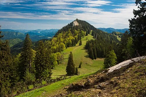 Alpstein Montagne, Rosenau am Hengstpass12 km S
-
Zöbel Montagne, Molln11 km SO
Sources et licences
Données mises à jour le: