Haute-Autriche
Situé dans Autriche Coordonnées: 48°15′00″ N 14°00′00″ E
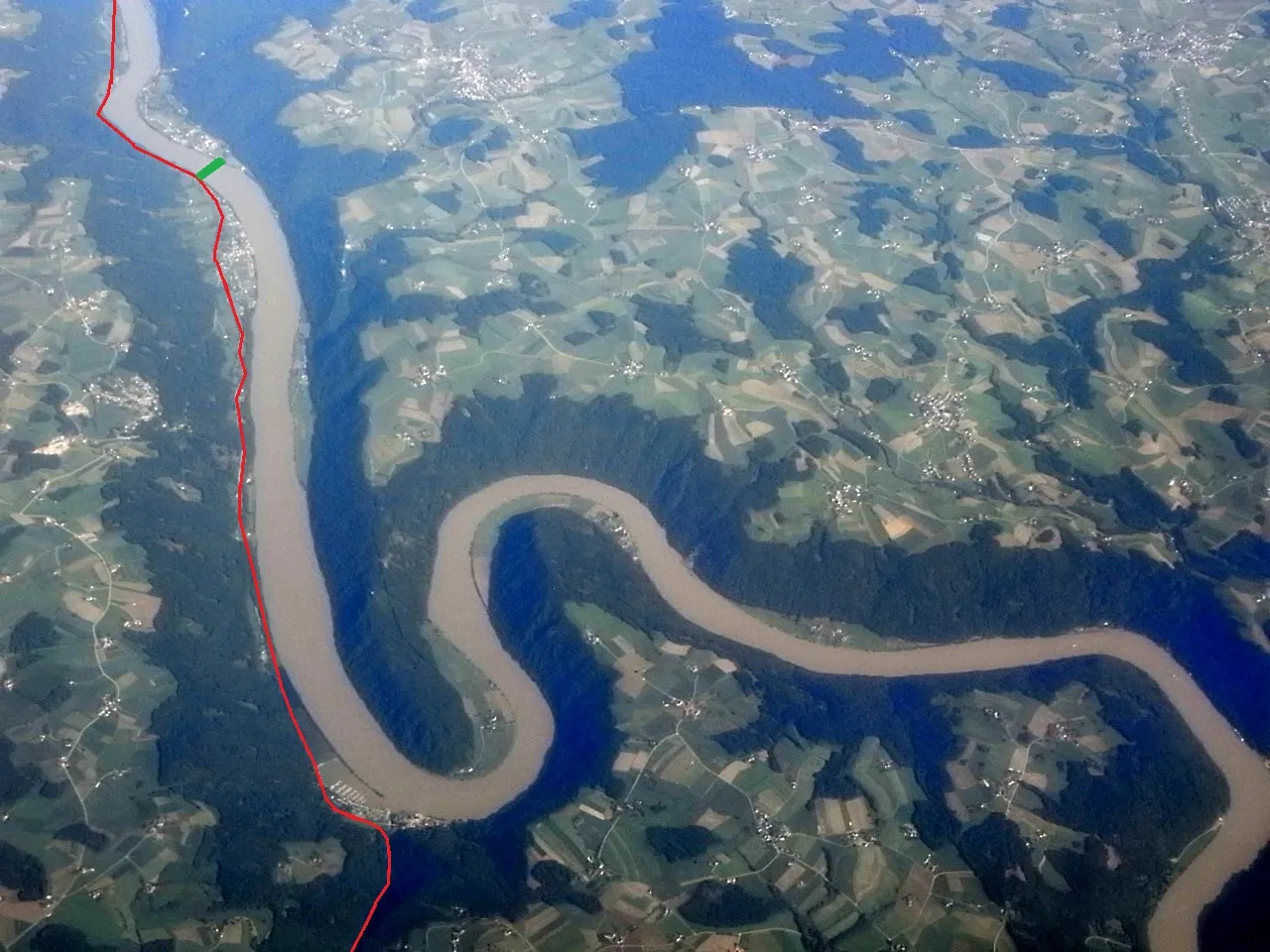
- Population
- 1 522 825
- 1,5 M
- Altitude
- 343 m
- au-dessus du niveau de la mer
- Heure locale
- UTC+01:00
- Europe/Vienna · UTC+01:00
- Lieux rattachés
- 340
- classés sous Haute-Autriche
À propos : Haute-Autriche
Haute-Autriche est une région. Situation : Autriche. Population : 1 522 825.
La Haute-Autriche (en allemand : Oberösterreich, prononcé : [ˈoːbɐˌʔøːstɐʁaɪ̯ç]) est l'un des neuf États fédérés ou Länder d'Autriche. Sa capitale est la ville de Linz. La Haute-Autriche possède des frontières internationales avec l'Allemagne et la Tchéquie ; elle a aussi des frontières internes avec la Basse-Autriche, la Styrie et le Land de Salzbourg.
Lire la suite sur Wikipédia Texte : contributeurs de Wikipédia · CC BY-SA 4.0 · abrégé
En bref
- Superficie
- 11 982 km²
Source : Wikidata
En comparaison
- 9 sites et lieux naturels à moins de 10 km Trattnach, Polsenz
- Recensés ici : Cours d’eau: 199, Site naturel: 59, Lac: 27, District: 18
Lieux : Haute-Autriche
340 lieux-
Laudachbach Cours d’eau
-
Lauterbach Cours d’eau
-
Leitenbach Cours d’eau
-
Leitenbach Cours d’eau
-
Leithen Bach Cours d’eau
-
Lindenbach Cours d’eau
-
Loch Bach Cours d’eau
-
Loigisbach Cours d’eau
-
Loigistal Site naturel
-
Luckenbauerbach Cours d’eau
-
Lugisbrunnen Site naturel
-
Lungbach Cours d’eau
-
Massif mort Montagne
-
Mattig Cours d’eau
-
Mettmach Bach Cours d’eau
-
Miesenbach Cours d’eau
-
Mitterberg Montagne
-
Mitterweißenbach Cours d’eau
-
Mönchwald Site naturel
-
Mönichsee Lac
-
Moorbad Gmös Site naturel
-
Moosbach Cours d’eau
-
Mössen Bach Cours d’eau
-
Mühl Cours d’eau
-
Mühlbach Cours d’eau
-
Mühlbach Cours d’eau
-
Mühlbach Cours d’eau
-
Mühlbach Cours d’eau
-
Mühlbach Cours d’eau
-
Naarn Cours d’eau
-
Neudorfinger Bach Cours d’eau
-
Neustifter Bach Cours d’eau
-
Nussen See Lac
-
Oberer Weilhart Forst Site naturel
-
Ofenwasser Cours d’eau
-
Offensee Lac
-
Offenseebach Cours d’eau
-
Ort Village
-
Osternach Cours d’eau
-
Ostrawitzbach Cours d’eau
-
Palten Bach Cours d’eau
-
Pechgraben Site naturel
-
Pesenbach Cours d’eau
-
Pfarrwald Site naturel
-
Pfeilbach Cours d’eau
-
Pfuda Bach Cours d’eau
-
Pichlerbach Cours d’eau
-
Pießling Cours d’eau
-
Pießling-Ursprung Site naturel
-
Plaissa Bach Cours d’eau
-
Pöllersbach Cours d’eau
-
Polsenz Cours d’eau
-
Pram Cours d’eau
-
Prielwasser Cours d’eau
-
Radgrabenbach Cours d’eau
-
Rain Bach Cours d’eau
-
Ramsaubach Cours d’eau
-
Ramsaugebirge Montagne
Principales villes
Nature et patrimoine : Haute-Autriche
-
Imitzberg Montagne, Spital am Pyhrn
-
Breitenberg Montagne, Weyer
-
Tannberg Montagne, Spital am Pyhrn
Autres régions : Autriche
-
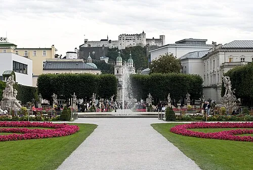 État de Salzbourg Région, Autriche108 km SO
-
Wels District, Haute-Autriche10 km S
-
District de Wels-Land District, Haute-Autriche15 km S
-
Steyr District, Haute-Autriche39 km SE
-
Salzbourg District, État de Salzbourg87 km SO
Sources et licences
Données mises à jour le: · 2 sources indépendantes