État de Salzbourg
Situé dans Autriche Coordonnées: 47°25′00″ N 13°15′00″ E
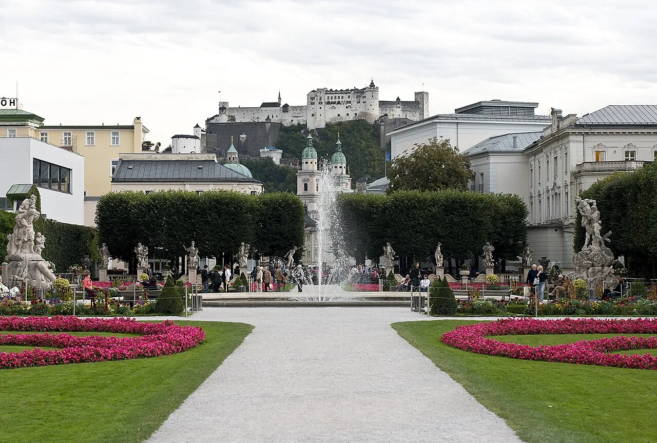
- Population
- 562 606
- 562,6 k
- Altitude
- 827 m
- au-dessus du niveau de la mer
- Heure locale
- UTC+01:00
- Europe/Vienna · UTC+01:00
- Lieux rattachés
- 421
- classés sous État de Salzbourg
À propos : État de Salzbourg
État de Salzbourg est une région. Situation : Autriche. Population : 562 606.
Le land de Salzbourg est l'un des neuf États fédérés de l'Autriche. Il a pour capitale la ville de Salzbourg. Son principal cours d'eau est la Salzach qui se jette dans l'Inn. Le land de Salzbourg est limitrophe des Länder de Haute-Autriche, de Styrie, de Carinthie et du Tyrol ainsi que des pays suivants : Italie (Tyrol du Sud) et Allemagne (Bavière). Au sud se trouve la chaîne des Alpes orientales centrales (Hohe Tauern), à l'est et au nord le massif du Dachstein et les Alpes de Berchtesgaden.
Lire la suite sur Wikipédia Texte : contributeurs de Wikipédia · CC BY-SA 4.0 · abrégé
En bref
- Superficie
- 7 154 km²
Source : Wikidata
En comparaison
- 82 sites et lieux naturels à moins de 10 km Buchberg, Hörndlkapelle
- Recensés ici : Cours d’eau: 193, Site naturel: 124, Lac: 75, Montagne: 18
Lieux : État de Salzbourg
421 lieux-
Politischer Bezirk Salzburg-Umgebung District157,4 k
-
Salzbourg District157,2 k
-
Zell am See District District86,9 k
-
St. Johann im Pongau District District79,9 k
-
Hallein District District61,7 k
-
Tamsweg District District20,4 k
-
Abretterkees Site naturel
-
Achartinger Bach Cours d’eau
-
Ackers Bach Cours d’eau
-
Aigenbach Cours d’eau
-
Almbach Cours d’eau
-
Almerhorn Montagne
-
Alm Fluss Cours d’eau
-
Alter Bach Cours d’eau
-
Alter Bach Cours d’eau
-
Amerbach Cours d’eau
-
Amertal Site naturel
-
Angerbach Cours d’eau
-
Anger Bach Cours d’eau
-
Angersee Lac
-
Anlaufbach Cours d’eau
-
Anlauftal Site naturel
-
Antheringer Bach Cours d’eau
-
Arzbach Cours d’eau
-
Arzenbach Cours d’eau
-
Aschbach Cours d’eau
-
Aubach Cours d’eau
-
Bärenschlucht Site naturel
-
Bichlbauerbach Cours d’eau
-
Blühnbach Cours d’eau
-
Bluntautal Site naturel
-
Boggeneikees Site naturel
-
Brachkees Site naturel
-
Brandenaubach Cours d’eau
-
Brandlsee Lac
-
Brandwald Site naturel
-
Bratschenkopfkees Site naturel
-
Brechlsee Lac
-
Brennhüttenklamm Site naturel
-
Bruckbach Cours d’eau
-
Bründlbach Cours d’eau
-
Brunnbach Cours d’eau
-
Bundschuh Village
-
Bundschuhbach Cours d’eau
-
Burkbach Cours d’eau
-
Dientenbach Cours d’eau
-
Dießbachstausee Lac
-
Dorfer Öd Site naturel
-
Dürnbach Cours d’eau
-
Dürrenegg See Lac
-
Ehrenbach Cours d’eau
-
Eiben See Lac
-
Eichetwald Site naturel
-
Einödbach Cours d’eau
-
Eiserkees Site naturel
-
Eissee Lac
-
Elmau Bach Cours d’eau
-
Erzwiessee Lac
-
Exenbach Cours d’eau
-
Felber Bach Cours d’eau
Principales villes
-
Hallwang Commune, Politischer Bezirk Salzburg-Umgebung4,1 k
-
Salzbourg Commune, Salzbourg152,4 k
-
Salzbourg Ville, Salzbourg157,2 k
-
Zell am See Commune, Zell am See District9,8 k
Nature et patrimoine : État de Salzbourg
-
Rettenzink Montagne, Fusch an der Grossglocknerstrasse
-
Hohes Kampeck Montagne, Kaprun
-
Geißstein Montagne, Kaprun
Autres régions : Autriche
-
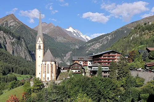 Carinthie Région, Autriche86 km SE
-
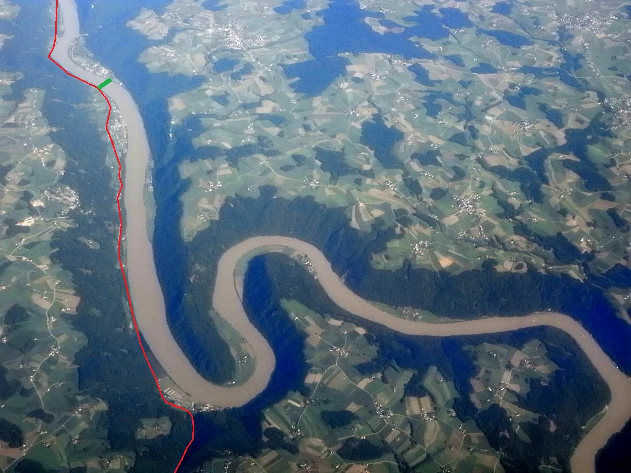 Haute-Autriche Région, Autriche108 km NE
-
Klagenfurt District, Carinthie118 km SE
-
Villach District, Carinthie101 km SE
-
Wels District, Haute-Autriche101 km NE
Sources et licences
Données mises à jour le: · 2 sources indépendantes