State of Salzburg
Located in Austria Coordinates: 47°25′00″ N 13°15′00″ E
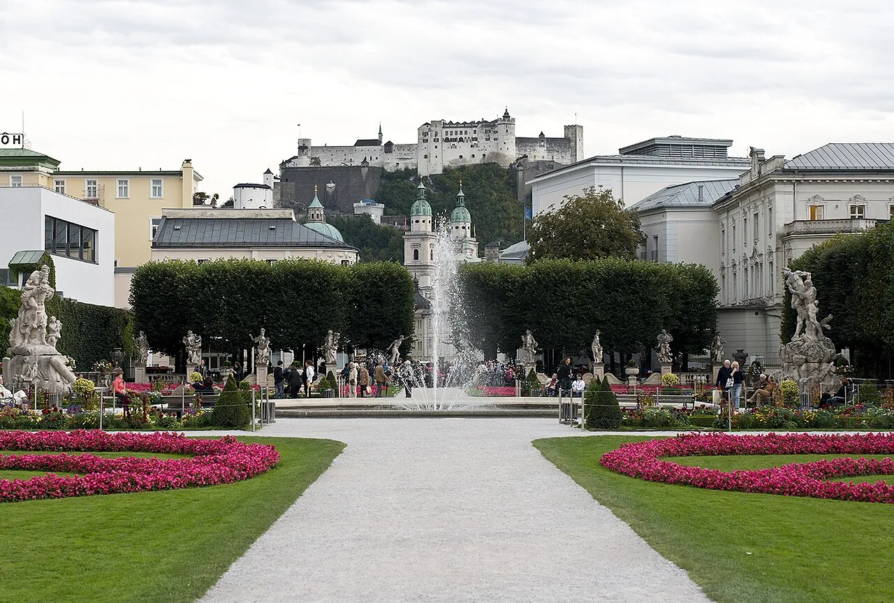
- Population
- 562,606
- 562.6K
- Elevation
- 827 m
- above sea level
- Local time
- UTC+01:00
- Europe/Vienna · UTC+01:00
- Places inside
- 421
- listed under State of Salzburg
About State of Salzburg
State of Salzburg is a region. Location: Austria. Population: 562,606.
Salzburg (Austrian German: [ˈsaltsbʊrɡ], Northern German: [ˈzaltsbʊʁk] ; Bavarian: Soizbuag, also known as Salzburgerland) is a state (Land) of Austria bordering Germany and Italy. In German, its official name is Land Salzburg, to distinguish it from its eponymous capital Salzburg. The state of Salzburg is closely tied to the former Prince-Archbishopric of Salzburg, an ecclesiastical principality of the Holy Roman Empire that existed for centuries until its secularization in 1803.
Read more on Wikipedia Text: Wikipedia contributors · CC BY-SA 4.0 · shortened
At a glance
- Area
- 7,154 km²
Source: Wikidata
In comparison
- 82 sights and natural places within 10 km Buchberg, Hörndlkapelle
- Listed here: River: 193, Natural site: 124, Lake: 75, Mountain: 18
Places in State of Salzburg
421 places-
Politischer Bezirk Salzburg-Umgebung District157.4K
-
Salzburg Stadt District157.2K
-
Zell am See District District86.9K
-
St. Johann im Pongau District District79.9K
-
Hallein District District61.7K
-
Tamsweg District District20.4K
-
Abretterkees Natural site
-
Achartinger Bach River
-
Ackers Bach River
-
Aigenbach River
-
Almbach River
-
Almerhorn Mountain
-
Alm Fluss River
-
Alter Bach River
-
Alter Bach River
-
Amerbach River
-
Amertaler Öd Natural site
-
Angerbach River
-
Anger Bach River
-
Angersee Lake
-
Anlaufbach River
-
Anlauftal Natural site
-
Antheringer Bach River
-
Arzbach River
-
Arzenbach River
-
Aschbach River
-
Aubach River
-
Bärenschlucht Natural site
-
Bichlbauerbach River
-
Blühnbach River
-
Bluntautal Natural site
-
Boggeneikees Natural site
-
Brachkees Natural site
-
Brandenaubach River
-
Brandlsee Lake
-
Brandwald Natural site
-
Bratschenkopfkees Natural site
-
Brechlsee Lake
-
Brennhüttenklamm Natural site
-
Bruckbach River
-
Bründlbach River
-
Brunnbach River
-
Bundschuh Village
-
Bundschuhbach River
-
Burkbach River
-
Dientenbach River
-
Dießbachstausee Lake
-
Dorfer Öd Natural site
-
Dürnbach River
-
Dürrenegg See Lake
-
Ehrenbach River
-
Eiben See Lake
-
Eichetwald Natural site
-
Einödbach River
-
Eiserkees Natural site
-
Eissee Lake
-
Elmau Bach River
-
Erzwiessee Lake
-
Exenbach River
-
Felber Bach River
Largest cities and towns
-
Hallwang Municipality, Politischer Bezirk Salzburg-Umgebung4.1K
-
Salzburg Municipality, Salzburg Stadt152.4K
-
Salzburg City, Salzburg157.2K
-
Hallein Municipality, Hallein District21.2K
-
Saalfelden am Steinernen Meer Municipality, Zell am See District16.6K
-
Wals-Siezenheim Municipality, Politischer Bezirk Salzburg-Umgebung13.1K
-
St. Johann im Pongau Municipality, St. Johann im Pongau District10.9K
-
Seekirchen am Wallersee Municipality, Politischer Bezirk Salzburg-Umgebung10.6K
Nature and heritage in State of Salzburg
-
Rettenzink Mountain, Fusch an der Grossglocknerstrasse
-
Hohes Kampeck Mountain, Kaprun
-
Geißstein Mountain, Kaprun
-
Neumayrhöhe Mountain, Kaprun
-
Katzenkopf Mountain, Kaprun
-
Schoppachhöhe Mountain, Piesendorf
Other regions in Austria
-
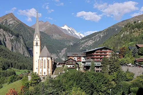 Carinthia Region, Austria86 km SE
-
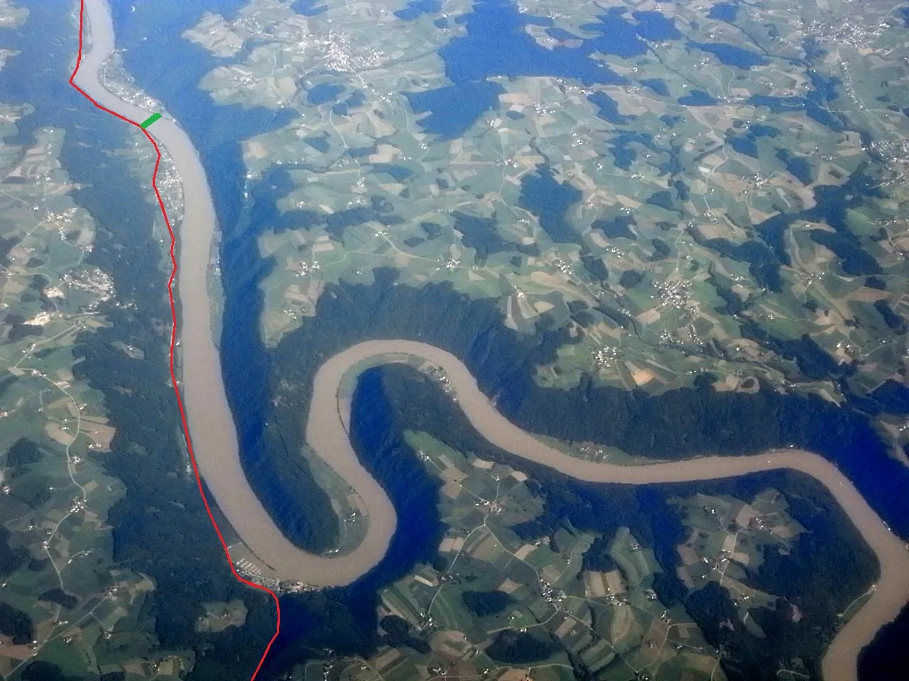 Upper Austria Region, Austria108 km NE
-
Politischer Bezirk Gmunden District, Upper Austria53 km NE
-
Klagenfurt am Wörthersee District, Carinthia118 km SE
-
Villach Stadt District, Carinthia101 km SE
-
Wels Stadt District, Upper Austria101 km NE
Sources & licences
Data last updated: · 2 independent sources