St. Johann im Pongau District
Located in State of Salzburg, Austria Coordinates: 47°18′00″ N 13°18′00″ E
- Population
- 79,872
- 79.9K
- Elevation
- 1,010 m
- above sea level
- Local time
- UTC+01:00
- Europe/Vienna · UTC+01:00
- Places inside
- 25
- listed under St. Johann im Pongau District
- Airports
- SZG Salzburg Airport59 km
- KLU Klagenfurt Airport108 km
About St. Johann im Pongau District
St. Johann im Pongau District is a district. Location: State of Salzburg, Austria. Population: 79,872. The best months to visit are July–August. The nearest airport is Salzburg Airport (59 km). Nearby sights include Kleinarltal and Einödbach.
Photos of St. Johann im Pongau District
-
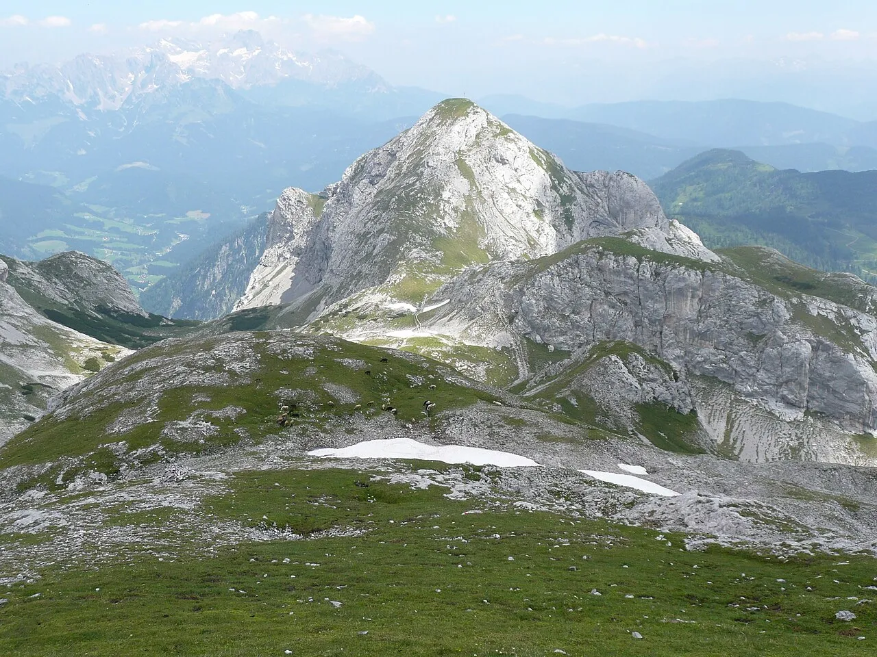
Tauernkogel Bergfexklaus · CC BY-SA 3.0 -
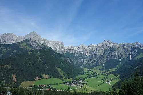
Hirschkogel Vysotsky · CC BY-SA 4.0 -
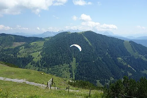
Frommer Kogel Vysotsky · CC BY-SA 4.0 -
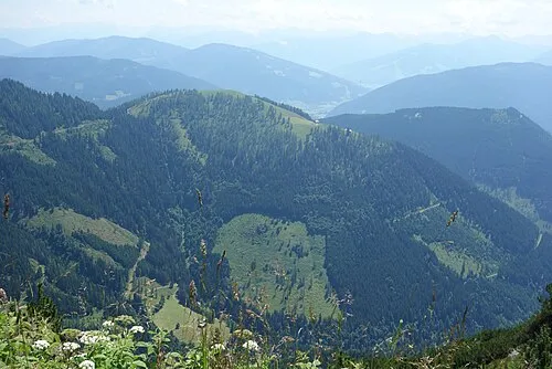
Schwarzenegg Vysotsky · CC BY-SA 4.0 -
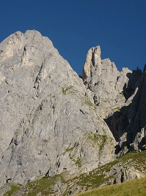
Gamsleitenkopf mawieser · CC BY-SA 3.0


Climate of St. Johann im Pongau District
Best months for sightseeingBest months for sightseeing: July–August.
This month · November
A wet month
Day 6° · Night -1° · Rain 100 mm
- Hottest month
- July (day 20°)
- Coldest month
- January (night -5°)
- Wettest month
- July (183 mm)
- Driest month
- February (66 mm)
Bars: average monthly low and high temperature. Below: precipitation. Monthly averages for 1970–2000 at about 18 km resolution, adjusted for elevation. Highlighted months are mild and relatively dry. Source: WorldClim 2.1 (CC BY 4.0).
Show values as a table
| Month | Jan | Feb | Mar | Apr | May | Jun | Jul | Aug | Sep | Oct | Nov | Dec |
|---|---|---|---|---|---|---|---|---|---|---|---|---|
| Average high (°C) | 3° | 3° | 6° | 9° | 15° | 18° | 20° | 20° | 16° | 12° | 6° | 3° |
| Average low (°C) | -5° | -5° | -2° | 1° | 5° | 8° | 10° | 10° | 7° | 4° | -1° | -4° |
| Precipitation (mm) | 72 | 66 | 87 | 98 | 121 | 168 | 183 | 164 | 126 | 100 | 100 | 88 |
How to get to St. Johann im Pongau District
The nearest airport is Salzburg Airport (SZG), 59 km to the north as the crow flies. The nearest large city is Salzburg, 59 km to the north.
Airports
- Salzburg Airport (SZG) Salzburg 59 kmnorth
- Klagenfurt Airport (KLU) Klagenfurt am Wörthersee 108 kmsoutheast
- Linz-Hörsching Airport (LNZ) Linz 123 kmnortheast
Nearby large cities
- Salzburg Population: 157.2K 59 kmnorth
- Klagenfurt Population: 100.3K 107 kmsoutheast
- Linz Population: 204.8K 134 kmnortheast
- Innsbruck Population: 132.5K 144 kmwest
- Munich Population: 1.5M 159 kmnorthwest
Straight-line distances; road distances are longer. Airport data: OurAirports.
Day trips from St. Johann im Pongau District
Within 100 km: 296 historic and cultural sites, 4,121 natural sites, 1,206 lakes, rivers and coasts.
0–25 km406 places
- Untersee Lake 23 kmE
- Kleiner Paarsee Lake 14 kmW
- Großer Paarsee Lake 14 kmW
- Schuhflickersee Lake 12 kmW
25–60 km2,301 places
- Hoher Dachstein Mountain 30 kmNE
- Fürlegsee Lake 55 kmW
- Vorderer Langtalsee Lake 51 kmSW
- Seeriessee Lake 34 kmE
60–100 km2,916 places
- Frauenchiemsee Island 92 kmNW
- Herreninsel Island 92 kmNW
- Klamm Natural site 80 kmE
- Planica Natural site 97 kmS
Straight-line distances.
Places in St. Johann im Pongau District
25 places- 1 St. Johann im Pongau 10.9K
- 2 Bischofshofen 10.5K
- 3 Bad Hofgastein 6.9K
- 4 Radstadt 4.9K
- 5 Altenmarkt im Pongau 4.1K
- 6 Bad Gastein 4.1K
- 7 Grossarl 3.8K
- 8 Sankt Veit im Pongau 3.7K
- 9 Schwarzach im Pongau 3.5K
- 10 Wagrain 3.1K
- 11 Werfen 3K
- 12 Flachau 2.8K
- 13 Goldegg 2.6K
- 14 Eben im Pongau 2.4K
- 15 Pfarrwerfen 2.2K
- 16 Sankt Martin am Tennengebirge 1.6K
- 17 Dorfgastein 1.6K
- 18 Hüttau 1.5K
- 19 Mühlbach am Hochkönig 1.5K
- 20 Filzmoos 1.5K
- 21 Werfenweng 989
- 22 Hüttschlag 914
- 23 Kleinarl 774
- 24 Forstau 526
- 25 Untertauern 460
Bar: population relative to the most populous place in this list.
Nature and heritage in St. Johann im Pongau District
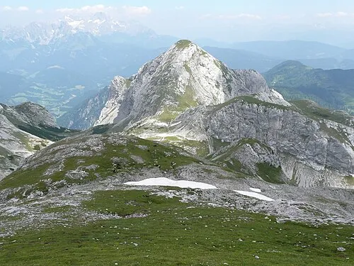
Nearby attractions & nature
Everything nearby-
Kleinarltal Natural site, State of Salzburg1.9 km S
-
Einödbach River, State of Salzburg1.9 km S
-
Kesselbach River, State of Salzburg2.2 km SE
-
Schwaighofbach River, State of Salzburg3.7 km N
-
Fürbach River, State of Salzburg3.7 km N
-
Kleinarlbach River, State of Salzburg3.7 km N
Other regions in State of Salzburg
-
 Salzburg Stadt District, State of Salzburg59 km N
-
Hallein District District, State of Salzburg33 km N
-
Tamsweg District District, State of Salzburg35 km SE
-
Zell am See District District, State of Salzburg45 km W
-
Politischer Bezirk Salzburg-Umgebung District, State of Salzburg61 km N
Sources & licences
Data last updated: