Tamsweg District
Located in State of Salzburg, Austria Coordinates: 47°09′00″ N 13°42′00″ E
- Population
- 20,437
- 20.4K
- Elevation
- 1,229 m
- above sea level
- Local time
- UTC+01:00
- Europe/Vienna · UTC+01:00
- Places inside
- 15
- listed under Tamsweg District
- Airports
- KLU Klagenfurt Airport74 km
- SZG Salzburg Airport89 km
About Tamsweg District
Tamsweg District is a district. Location: State of Salzburg, Austria. Population: 20,437. The best months to visit are July–August. The nearest airport is Klagenfurt Airport (74 km). Nearby sights include Weisspriachbach and Taurachtal.
Photos of Tamsweg District
-
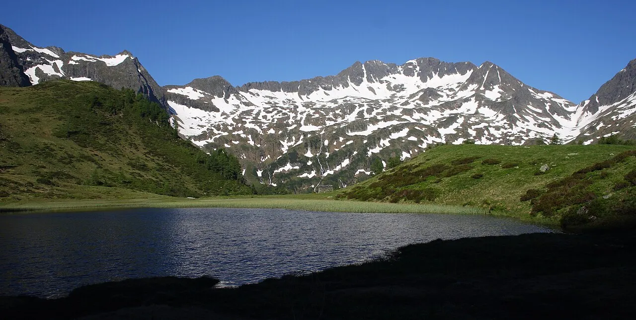
Deichselspitze Ewald Gabardi · CC BY-SA 3.0 -
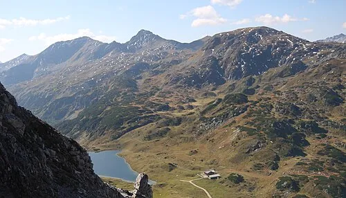
Roßkogel Ewald Gabardi · CC BY-SA 3.0 -
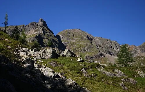
Alterkogel Ewald Gabardi · CC BY-SA 3.0 -
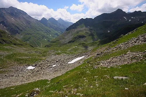
Rotsandspitze Ewald Gabardi · CC BY-SA 3.0 -
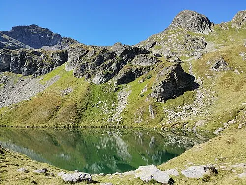
Scharnrock Eligiusz Jakimowicz · CC BY-SA 4.0


Climate of Tamsweg District
Best months for sightseeingBest months for sightseeing: July–August.
This month · November
A wet month
Day 4° · Night -3° · Rain 115 mm
- Hottest month
- July (day 19°)
- Coldest month
- January (night -8°)
- Wettest month
- July (181 mm)
- Driest month
- February (68 mm)
Bars: average monthly low and high temperature. Below: precipitation. Monthly averages for 1970–2000 at about 18 km resolution, adjusted for elevation. Highlighted months are mild and relatively dry. Source: WorldClim 2.1 (CC BY 4.0).
Show values as a table
| Month | Jan | Feb | Mar | Apr | May | Jun | Jul | Aug | Sep | Oct | Nov | Dec |
|---|---|---|---|---|---|---|---|---|---|---|---|---|
| Average high (°C) | 1° | 2° | 5° | 8° | 14° | 17° | 19° | 19° | 15° | 11° | 4° | 1° |
| Average low (°C) | -8° | -7° | -5° | -2° | 3° | 6° | 8° | 8° | 5° | 1° | -3° | -6° |
| Precipitation (mm) | 74 | 68 | 93 | 110 | 128 | 173 | 181 | 159 | 139 | 118 | 115 | 96 |
How to get to Tamsweg District
The nearest airport is Klagenfurt Airport (KLU), 74 km to the southeast as the crow flies. The nearest large city is Klagenfurt, 74 km to the southeast.
Airports
- Klagenfurt Airport (KLU) Klagenfurt am Wörthersee 74 kmsoutheast
- Salzburg Airport (SZG) Salzburg 89 kmnorthwest
- Ljubljana Jože Pučnik Airport (LJU) Zgornji Brnik 118 kmsoutheast
Nearby large cities
- Klagenfurt Population: 100.3K 74 kmsoutheast
- Salzburg Population: 157.2K 88 kmnorthwest
- Graz Population: 303.3K 133 kmeast
- Linz Population: 204.8K 136 kmnorth
- Ljubljana Population: 272.2K 137 kmsoutheast
Straight-line distances; road distances are longer. Airport data: OurAirports.
Day trips from Tamsweg District
Within 100 km: 330 historic and cultural sites, 3,914 natural sites, 1,131 lakes, rivers and coasts.
0–25 km420 places
- Seeriessee Lake 23 kmN
- Untersee Lake 23 kmN
- Wildsee Lake 11 kmN
- Obersee Lake 24 kmN
25–60 km1,651 places
- Hoher Dachstein Mountain 37 kmN
- Kleiner Reitersee Lake 56 kmNE
- Großer Reitersee Lake 56 kmNE
- Tubaysee Lake 55 kmNE
60–100 km3,304 places
- Lake Bohinj Lake 97 kmS
- Lake Bled Lake 93 kmS
- Triglav Mountain 86 kmS
- Rjavina Mountain 85 kmS
Straight-line distances.
Places in Tamsweg District
15 places- 1 Tamsweg 5.7K
- 2 Sankt Michael im Lungau 3.6K
- 3 Mariapfarr 2.4K
- 4 Mauterndorf 1.6K
- 5 Zederhaus 1.2K
- 6 Ramingstein 1.1K
- 7 Unternberg 1K
- 8 Sankt Andrä im Lungau 764
- 9 Sankt Margarethen im Lungau 751
- 10 Lessach 557
- 11 Muhr 510
- 12 Göriach 337
- 13 Thomatal 333
- 14 Weißpriach 306
- 15 Tweng 276
Bar: population relative to the most populous place in this list.
Nature and heritage in Tamsweg District
Nearby attractions & nature
Everything nearby-
Weisspriachbach River, State of Salzburg3.1 km SE
-
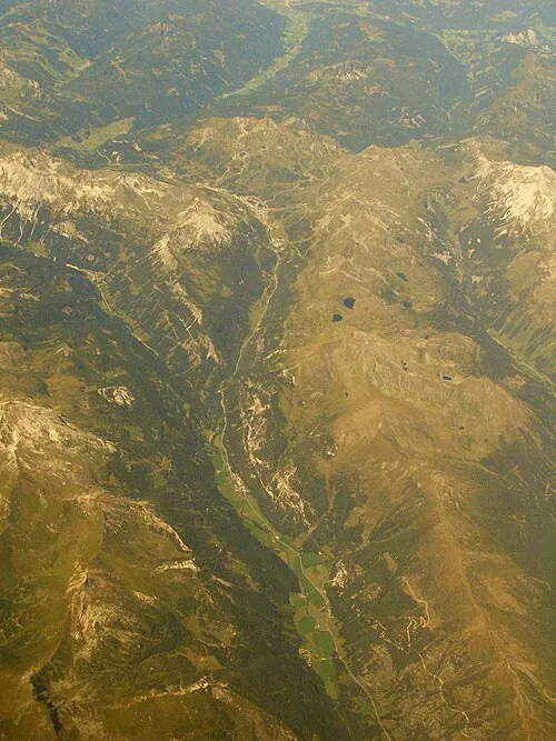 Taurachtal Natural site, State of Salzburg7.3 km NW
-
Bundschuhbach River, State of Salzburg7.8 km S
-
Lignitzbach River, State of Salzburg5.4 km E
-
Murtal Natural site, Austria8.3 km SE
-
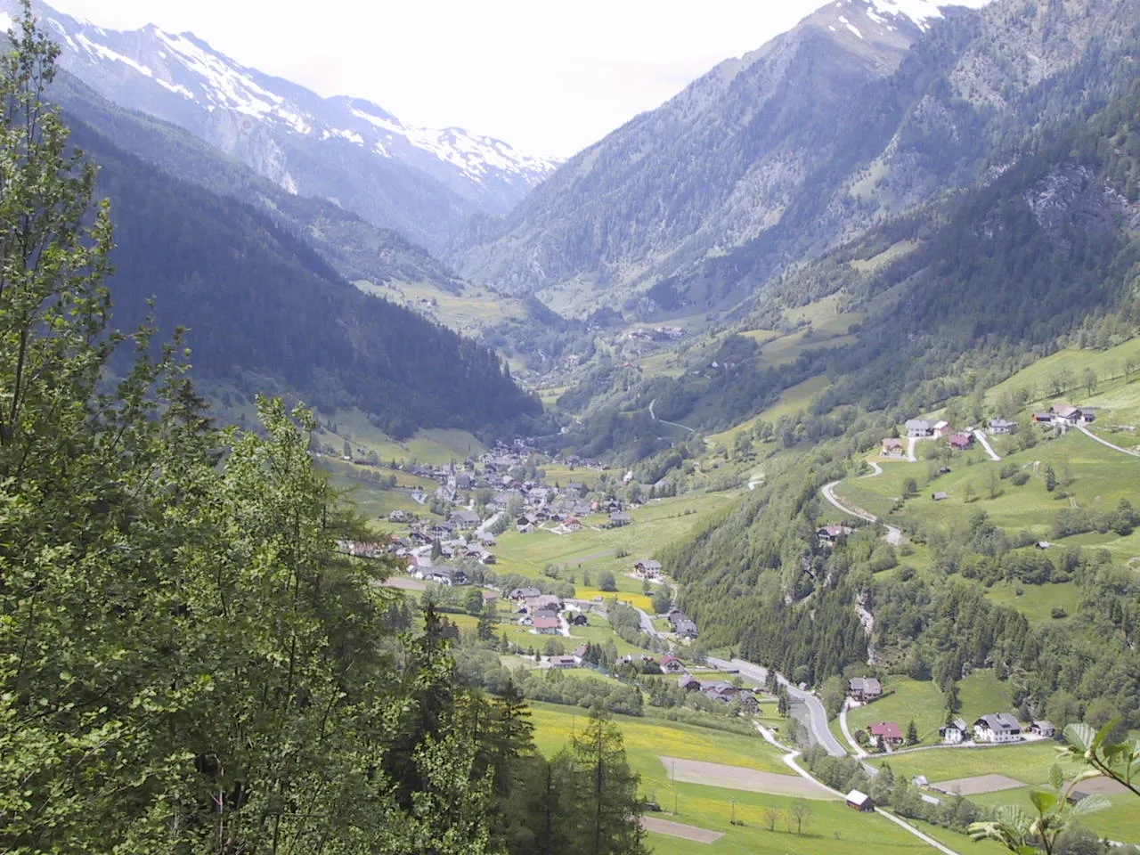 Murwinkl Natural site, State of Salzburg10 km SW
Other regions in State of Salzburg
-
St. Johann im Pongau District District, State of Salzburg35 km NW
-
Hallein District District, State of Salzburg58 km NW
-
Politischer Bezirk Salzburg-Umgebung District, State of Salzburg86 km NW
-
Zell am See District District, State of Salzburg77 km W
-
 Salzburg Stadt District, State of Salzburg88 km NW
Sources & licences
Data last updated: