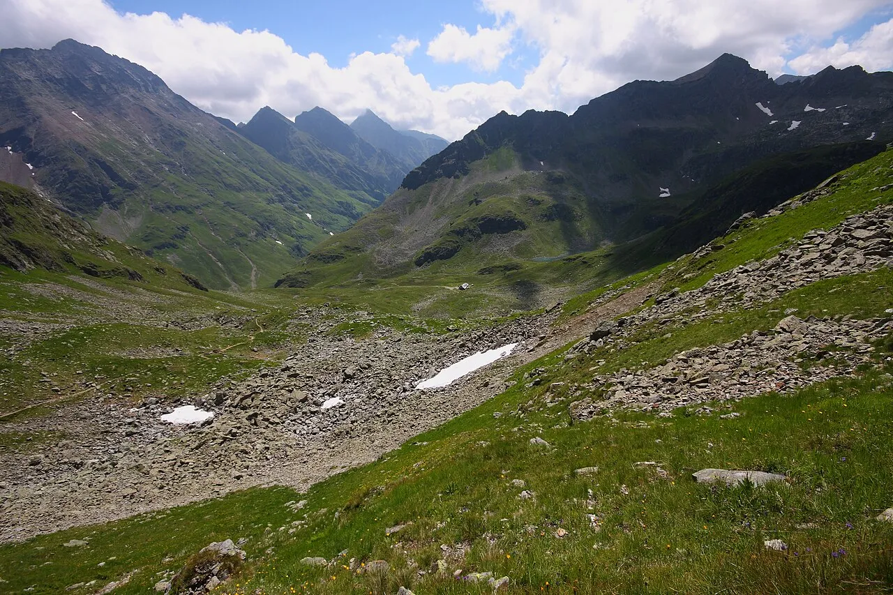
- Elevation
- 2,125 m
- above sea level
- Local time
- UTC+01:00
- Europe/Vienna · UTC+01:00
- Airports
- SZG Salzburg Airport81 km
- KLU Klagenfurt Airport82 km
About Rotsandspitze
Rotsandspitze is a mountain. Location: Göriach, Tamsweg District. Elevation: 2,125 m. The nearest airport is Salzburg Airport (81 km). Nearby sights include Scharnrock and Zehnerkarspitze.
Photos of Rotsandspitze
-
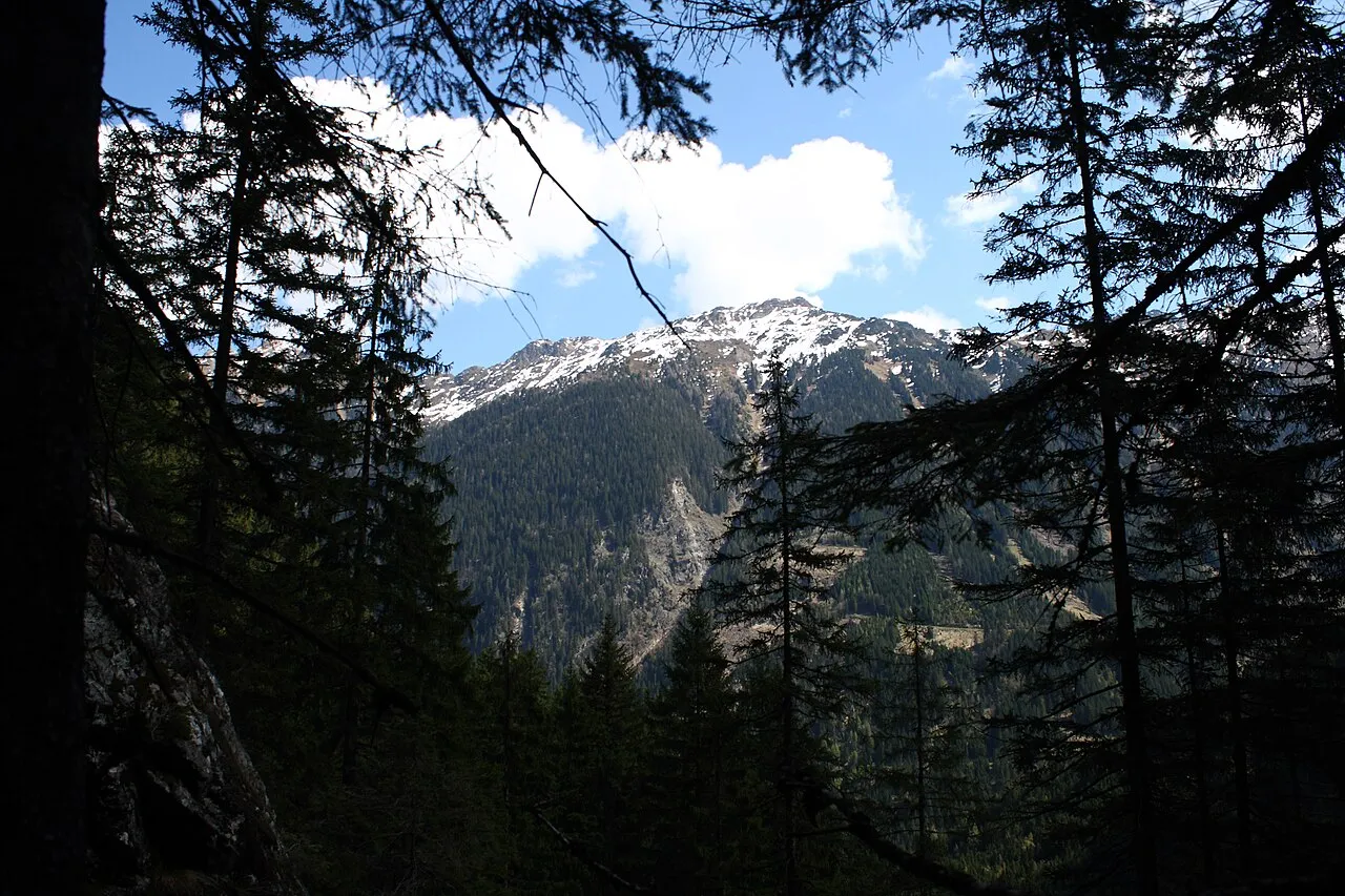
Sonntagkarzinken Ewald Gabardi · CC BY-SA 3.0 -
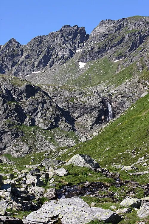
Hinterer Wildkarstein Ewald Gabardi · CC BY-SA 3.0 -
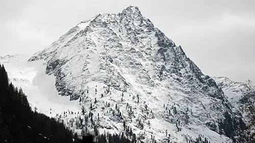
Rauhenberg Pezibär · CC BY-SA 3.0 -
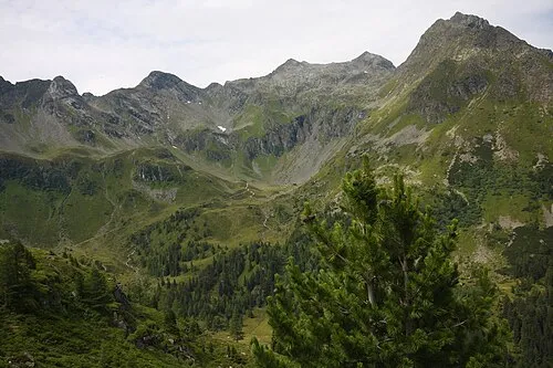
Krukeck Ewald Gabardi · CC BY-SA 3.0 -
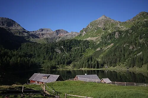
Sauberg Ewald Gabardi · CC BY-SA 3.0


Climate of Rotsandspitze
This month · November
A wet month
Day -1° · Night -8° · Rain 134 mm
- Hottest month
- July (day 12°)
- Coldest month
- February (night -12°)
- Wettest month
- July (203 mm)
- Driest month
- February (84 mm)
Bars: average monthly low and high temperature. Below: precipitation. Monthly averages for 1970–2000 at about 18 km resolution, adjusted for elevation. Highlighted months are mild and relatively dry. Source: WorldClim 2.1 (CC BY 4.0).
Show values as a table
| Month | Jan | Feb | Mar | Apr | May | Jun | Jul | Aug | Sep | Oct | Nov | Dec |
|---|---|---|---|---|---|---|---|---|---|---|---|---|
| Average high (°C) | -4° | -4° | -2° | 1° | 6° | 10° | 12° | 12° | 9° | 5° | -1° | -4° |
| Average low (°C) | -12° | -12° | -9° | -7° | -2° | 1° | 3° | 4° | 0° | -3° | -8° | -10° |
| Precipitation (mm) | 91 | 84 | 118 | 134 | 146 | 189 | 203 | 175 | 151 | 129 | 134 | 119 |
How to get to Rotsandspitze
The nearest airport is Salzburg Airport (SZG), 81 km to the northwest as the crow flies. The nearest large city is Salzburg, 79 km to the northwest.
Airports
- Salzburg Airport (SZG) Salzburg 81 kmnorthwest
- Klagenfurt Airport (KLU) Klagenfurt am Wörthersee 82 kmsoutheast
- Linz-Hörsching Airport (LNZ) Linz 115 kmnorth
Nearby large cities
- Salzburg Population: 157.2K 79 kmnorthwest
- Klagenfurt Population: 100.3K 83 kmsoutheast
- Linz Population: 204.8K 125 kmnorth
- Graz Population: 303.3K 132 kmeast
- Ljubljana Population: 272.2K 146 kmsoutheast
Straight-line distances; road distances are longer. Airport data: OurAirports.
Day trips from Rotsandspitze
Within 100 km: 338 historic and cultural sites, 3,857 natural sites, 1,156 lakes, rivers and coasts.
0–25 km505 places
- Seeriessee Lake 11 kmN
- Untersee Lake 14 kmNW
- Wildsee Lake 4 kmW
- Silberkarsee Lake 23 kmN
25–60 km1,775 places
- Hoher Dachstein Mountain 26 kmN
- Klamm Natural site 54 kmNE
- Glohbuckensee Lake 56 kmNE
- Gemeinsee Lake 57 kmNE
60–100 km3,071 places
- Triglav Mountain 97 kmS
- Rjavina Mountain 96 kmS
- Vršič Mountain 91 kmS
- Hochstuhl Mountain 97 kmS
Straight-line distances.
Nearest towns and villages
-
Weißpriach Municipality, Tamsweg District5.6 km SW
-
Weißpriach Village, Weißpriach6.1 km SW
-
Mariapfarr Municipality, Tamsweg District7.8 km S
-
Göriach Village, Göriach9 km SE
-
Lignitz Village, Mariapfarr5.7 km S
-
Zankwarn Village, Mariapfarr9.6 km S
Nearby attractions & nature
Everything nearby-
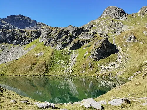 Scharnrock Mountain, Göriach<0.1 km N
-
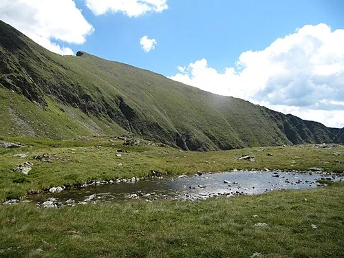 Zehnerkarspitze Mountain, Mariapfarr2.2 km SW
-
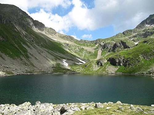 Lignitzhöhe Mountain, Schladming2.2 km NW
-
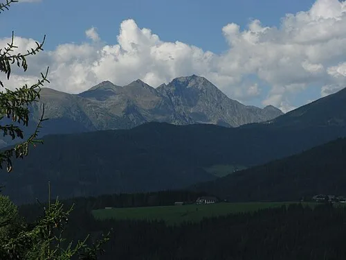 Lesshöhe Mountain, Göriach2.2 km SE
-
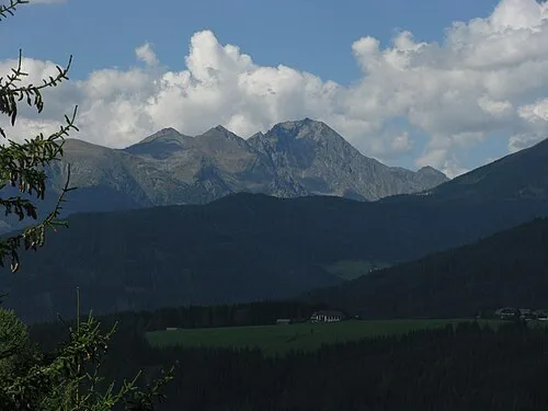 Hocheck Mountain, Göriach2.2 km SE
-
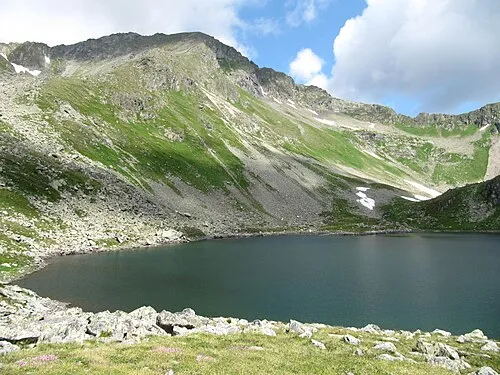 Graunock Mountain, Schladming2.2 km NW
-
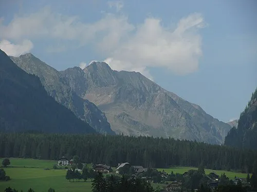 Blutspitze Mountain, Weißpriach2.5 km W
-
Kübel Mountain, Göriach1.9 km N
More nature in Austria
-
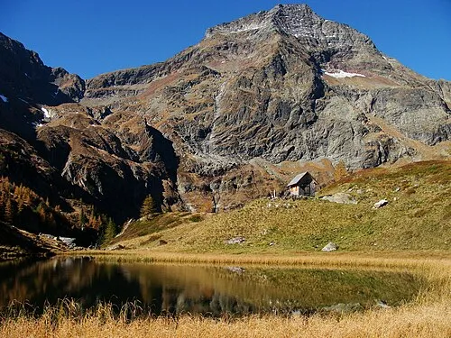 Hochgolling Mountain, Göriach3.8 km NE
-
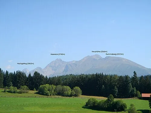 Kasereck Mountain, Göriach4.2 km SE
-
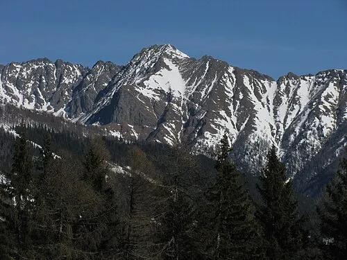 Kreuzhöhe Mountain, Göriach5.3 km SE
-
Krautgartsch Mountain, Göriach1.9 km N
-
Hoher Wagen Mountain, Göriach2.2 km NE
-
Gumma Mountain, Göriach6.5 km SE
Sources & licences
Data last updated: · 2 independent sources