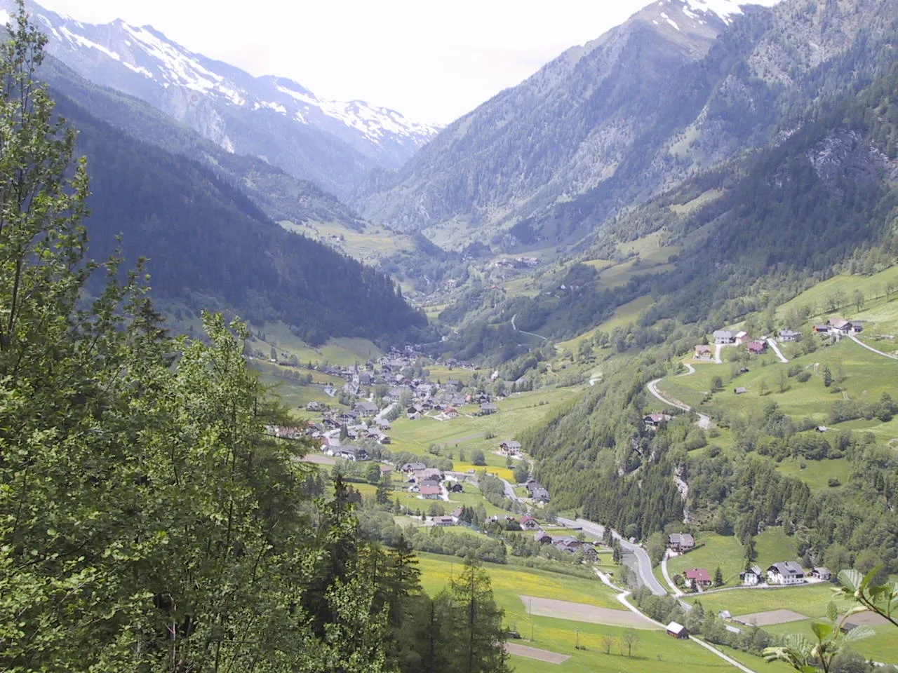
- Elevation
- 1,387 m
- above sea level
- Local time
- UTC+01:00
- Europe/Vienna · UTC+01:00
- Airports
- KLU Klagenfurt Airport77 km
- SZG Salzburg Airport89 km
About Murwinkl
Murwinkl is a natural site. Location: State of Salzburg, Austria. The nearest airport is Klagenfurt Airport (77 km). Nearby sights include Zickenberg and Speiereck.
At a glance
- Length
- 17 km
Source: Wikidata
Climate of Murwinkl
This month · November
A wet month
Day 4° · Night -3° · Rain 126 mm
- Hottest month
- July (day 17°)
- Coldest month
- February (night -7°)
- Wettest month
- July (190 mm)
- Driest month
- February (74 mm)
Bars: average monthly low and high temperature. Below: precipitation. Monthly averages for 1970–2000 at about 18 km resolution, adjusted for elevation. Highlighted months are mild and relatively dry. Source: WorldClim 2.1 (CC BY 4.0).
Show values as a table
| Month | Jan | Feb | Mar | Apr | May | Jun | Jul | Aug | Sep | Oct | Nov | Dec |
|---|---|---|---|---|---|---|---|---|---|---|---|---|
| Average high (°C) | 0° | 1° | 3° | 6° | 12° | 15° | 17° | 17° | 14° | 10° | 4° | 1° |
| Average low (°C) | -7° | -7° | -5° | -2° | 3° | 6° | 8° | 8° | 5° | 1° | -3° | -6° |
| Precipitation (mm) | 81 | 74 | 103 | 122 | 137 | 180 | 190 | 167 | 145 | 126 | 126 | 104 |
How to get to Murwinkl
The nearest airport is Klagenfurt Airport (KLU), 77 km to the southeast as the crow flies. The nearest large city is Klagenfurt, 76 km to the southeast.
Airports
- Klagenfurt Airport (KLU) Klagenfurt am Wörthersee 77 kmsoutheast
- Salzburg Airport (SZG) Salzburg 89 kmnorthwest
- Ljubljana Jože Pučnik Airport (LJU) Zgornji Brnik 118 kmsoutheast
Nearby large cities
- Klagenfurt Population: 100.3K 76 kmsoutheast
- Salzburg Population: 157.2K 88 kmnorthwest
- Graz Population: 303.3K 141 kmeast
- Linz Population: 204.8K 144 kmnorth
- Innsbruck Population: 132.5K 167 kmwest
Straight-line distances; road distances are longer. Airport data: OurAirports.
Day trips from Murwinkl
Within 100 km: 325 historic and cultural sites, 3,960 natural sites, 1,135 lakes, rivers and coasts.
0–25 km367 places
- Wildsee Lake 18 kmN
- Klammsee Lake 23 kmN
- Brettersee Lake 23 kmN
- Kranzlsee Lake 22 kmN
25–60 km1,623 places
- Hoher Dachstein Mountain 42 kmN
- Seeriessee Lake 31 kmNE
- Untersee Lake 28 kmN
- Brettersee Lake 57 kmW
60–100 km3,430 places
- Klamm Natural site 72 kmNE
- Sille River 94 kmW
- Fürlegsee Lake 73 kmW
- Vorderer Langtalsee Lake 62 kmW
Straight-line distances.
Nearest towns and villages
-
Oberweißburg Village, Sankt Michael im Lungau1 km NE
-
Sankt Michael im Lungau Municipality, Tamsweg District2.5 km E
-
Unterweißburg Village, Sankt Michael im Lungau1.4 km E
-
Höf Village, Sankt Michael im Lungau2.5 km E
-
Schellgaden Village, Muhr2.3 km S
-
St Michael im Lungau Village, Sankt Michael im Lungau3.8 km E
Nearby attractions & nature
Everything nearby-
Zickenberg Mountain, Sankt Michael im Lungau1.3 km W
-
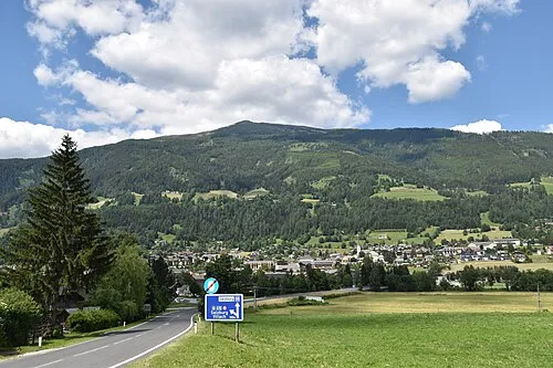 Speiereck Mountain, Sankt Michael im Lungau4.4 km NE
-
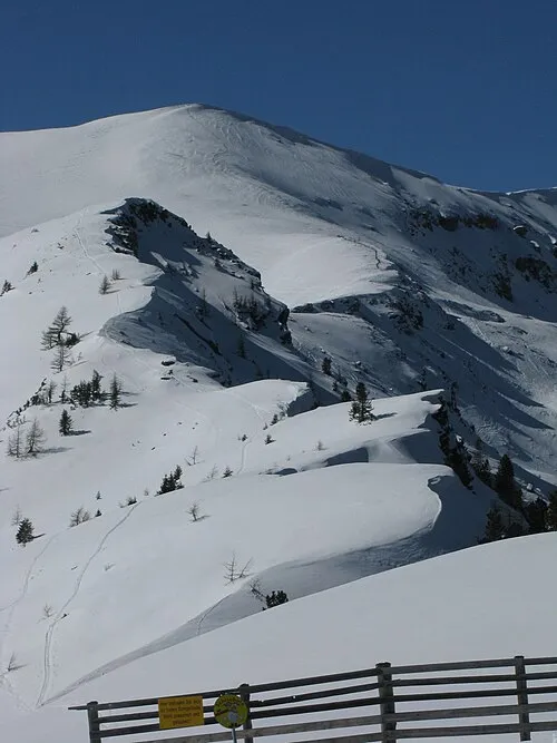 Kleiner Lanschütz Mountain, Mauterndorf4.9 km NE
-
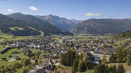 Kareck Mountain, Rennweg am Katschberg5.3 km SW
-
Schrovinkopf Mountain, Zederhaus4.2 km NW
-
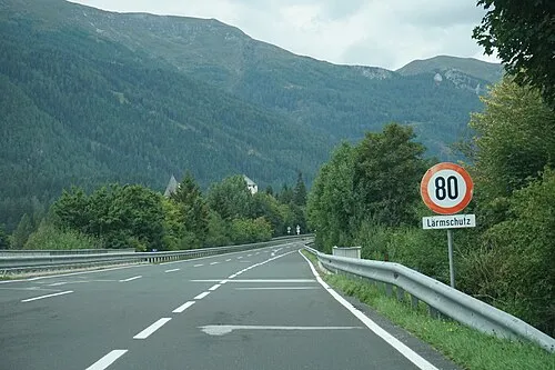 Grosser Lanschütz Mountain, Sankt Michael im Lungau5.4 km NE
-
Zederhausbach River, State of Salzburg2.5 km E
-
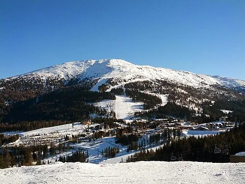 Aineck Mountain, Sankt Margarethen im Lungau6.5 km SE
More nature in Austria
-
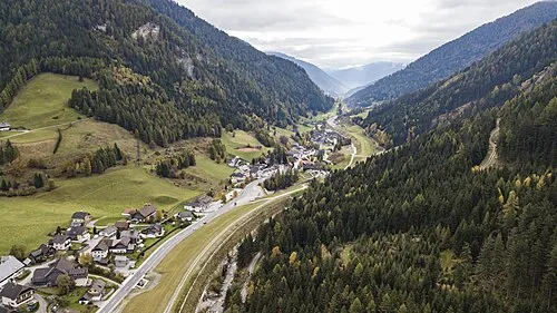 Zederhaustal Natural site, State of Salzburg6.3 km NW
-
Lahneck Mountain, Zederhaus5.7 km N
-
Grosseck Mountain, Muhr5.7 km W
-
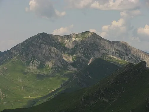 Weisseneck Mountain, Zederhaus7.5 km N
-
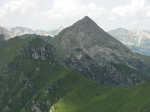 Scharreck Mountain, Tweng7.5 km N
-
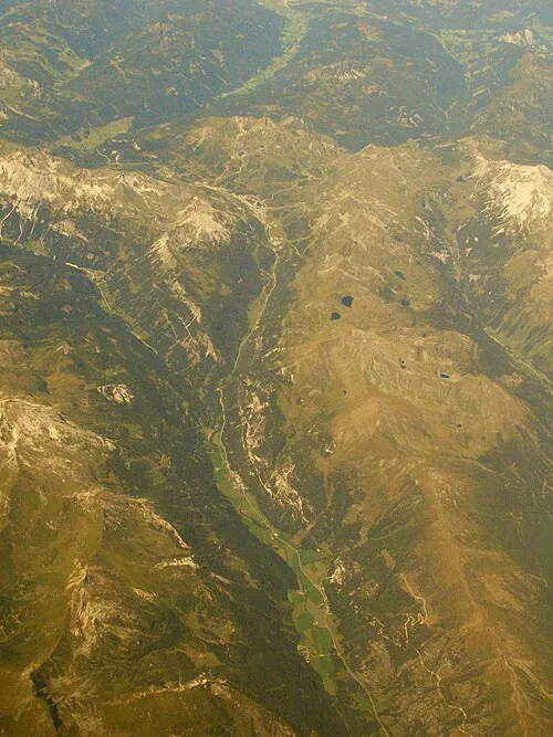 Taurachtal Natural site, State of Salzburg9.6 km N
Sources & licences
Data last updated: · 2 independent sources