Klagenfurt am Wörthersee
Located in Carinthia, Austria Coordinates: 46°38′00″ N 14°18′00″ E
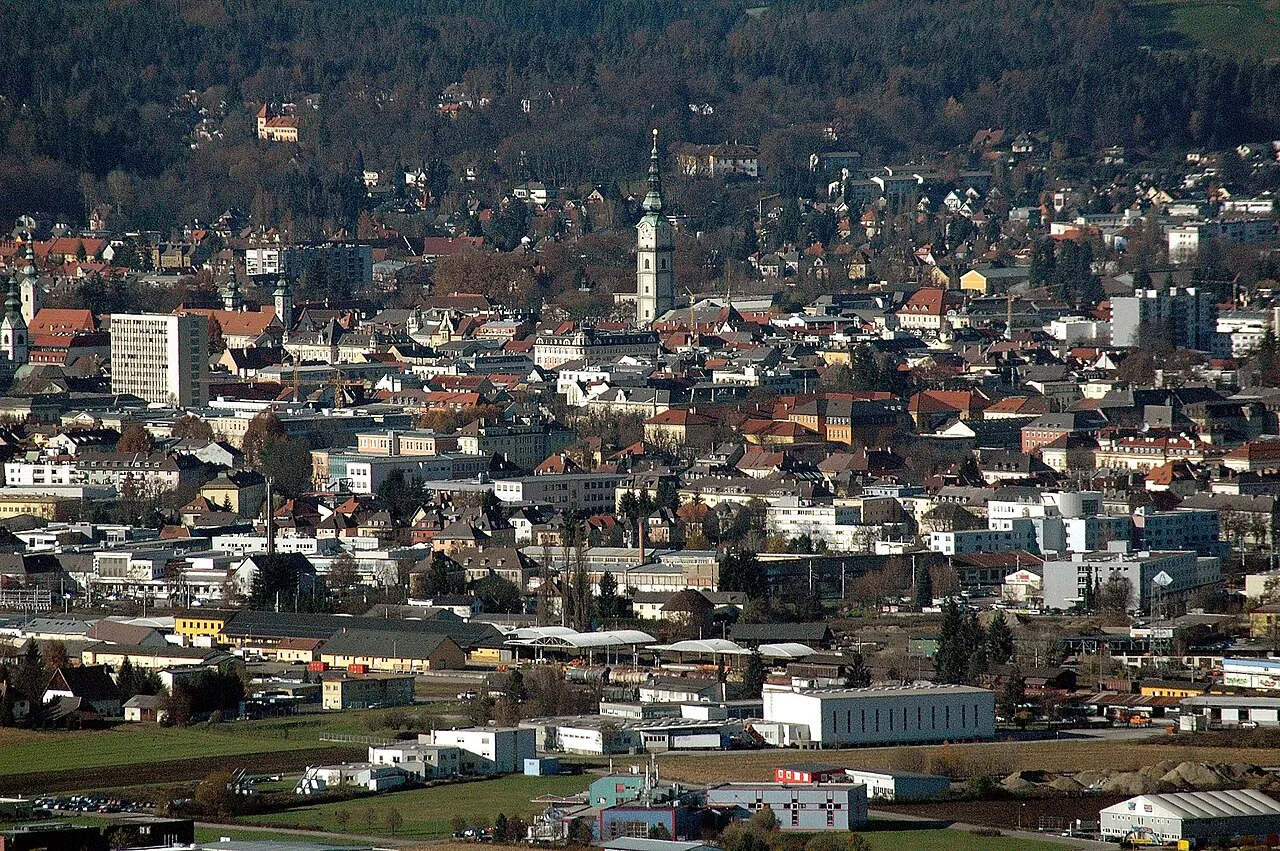
- Population
- 100,316
- 100.3K
- Elevation
- 447 m
- above sea level
- Local time
- UTC+01:00
- Europe/Vienna · UTC+01:00
- Places inside
- 1
- listed under Klagenfurt am Wörthersee
- Airports
- KLU Klagenfurt Airport3 km
- LJU Ljubljana Jože Pučnik Airport47 km
About Klagenfurt am Wörthersee
Klagenfurt am Wörthersee is a district. Location: Carinthia, Austria. Population: 100,316.
Klagenfurt am Wörthersee (; German: [ˌklaːɡn̩fʊʁt ʔam ˈvœʁtɐzeː] ; Slovene: Celovec; Austro-Bavarian: Klognfuat; Carinthian Slovene: Clouvc), usually known as simply Klagenfurt (English: KLAH-gən-foort), is the capital and largest city of the Austrian state of Carinthia, as well as of the historical region of Carinthia (including Slovenian Carinthia). With a population of 105,759 (1 January 2026), it is the sixth-largest city in Austria after Vienna, Graz, Linz, Salzburg, and Innsbruck.
Source: Wikipedia · CC BY-SA 4.0
Twin towns and sister cities of Klagenfurt am Wörthersee
- Dachau· Germany
- Zalaegerszeg· Hungary
- Sibiu· Romania
Source: Wikidata. Only places with a page on this site are shown.
Climate of Klagenfurt am Wörthersee
Best months for sightseeingBest months for sightseeing: May–September.
This month · November
A wet month
Day 7° · Night -1° · Rain 113 mm
- Hottest month
- July (day 25°)
- Coldest month
- January (night -7°)
- Wettest month
- July (136 mm)
- Driest month
- February (50 mm)
Bars: average monthly low and high temperature. Below: precipitation. Monthly averages for 1970–2000 at about 18 km resolution, adjusted for elevation. Highlighted months are mild and relatively dry. Source: WorldClim 2.1 (CC BY 4.0).
Show values as a table
| Month | Jan | Feb | Mar | Apr | May | Jun | Jul | Aug | Sep | Oct | Nov | Dec |
|---|---|---|---|---|---|---|---|---|---|---|---|---|
| Average high (°C) | 1° | 4° | 9° | 14° | 19° | 23° | 25° | 24° | 20° | 14° | 7° | 2° |
| Average low (°C) | -7° | -5° | -2° | 3° | 8° | 11° | 13° | 12° | 9° | 4° | -1° | -5° |
| Precipitation (mm) | 51 | 50 | 73 | 92 | 101 | 135 | 136 | 117 | 113 | 117 | 113 | 72 |
Other places to visit in this season: May June July August September
How to get to Klagenfurt am Wörthersee
The nearest airport is Klagenfurt Airport (KLU), 3 km to the east as the crow flies. The nearest large city is Klagenfurt, 1 km to the southeast.
Airports
- Klagenfurt Airport (KLU) Klagenfurt am Wörthersee 3 kmeast
- Ljubljana Jože Pučnik Airport (LJU) Zgornji Brnik 47 kmsouth
- Graz Airport (GRZ) Feldkirchen bei Graz 96 kmnortheast
Nearby large cities
- Klagenfurt Population: 100.3K 1 kmsoutheast
- Graz Population: 303.3K 100 kmnortheast
- Rijeka Population: 108K 146 kmsouth
- Zagreb Population: 663.6K 158 kmsoutheast
- Salzburg Population: 157.2K 161 kmnorthwest
Straight-line distances; road distances are longer. Airport data: OurAirports.
Day trips from Klagenfurt am Wörthersee
Within 100 km: 189 historic and cultural sites, 1,588 natural sites, 585 lakes, rivers and coasts.
0–25 km248 places
- Wörthersee Lake 14 kmW
- Lake Turner Lake 22 kmE
- Längsee Lake 20 kmNE
- Lake Klopein Lake 22 kmE
25–60 km583 places
- Wildsee Lake 49 kmNE
- Großer Winterleitensee Lake 54 kmN
- Lake Ossiach Lake 26 kmW
- Millstätter See Lake 57 kmW
60–100 km1,531 places
- Klamm Natural site 98 kmN
- Seeriessee Lake 90 kmNW
- Untersee Lake 96 kmNW
- Wildsee Lake 84 kmNW
Straight-line distances.
Places in Klagenfurt am Wörthersee
1 placeBar: population relative to the most populous place in this list.
Nature and heritage in Klagenfurt am Wörthersee
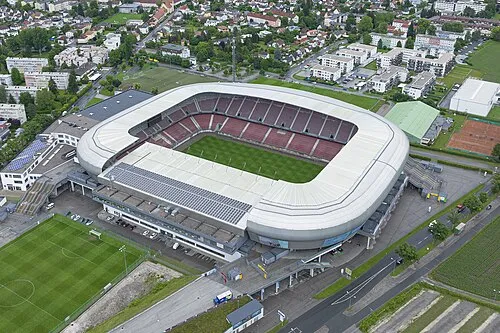
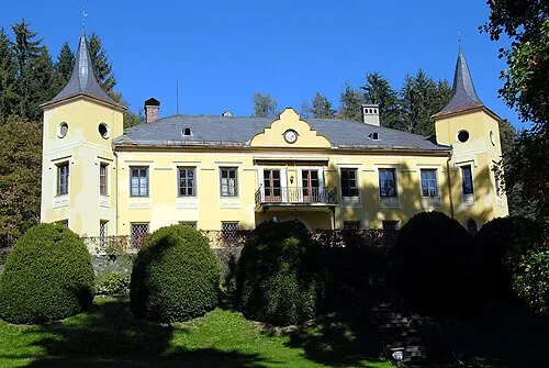
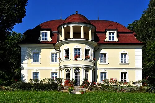
Nearby attractions & nature
Everything nearby-
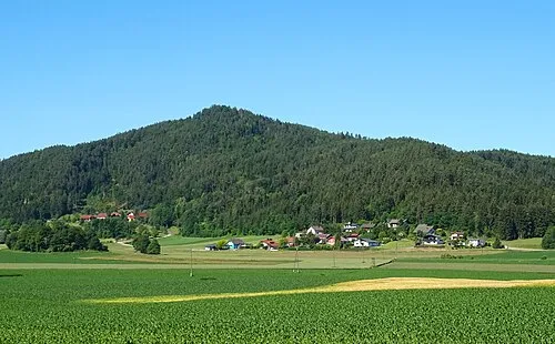
Spittalberg Natural site, Carinthia1.2 km N
-
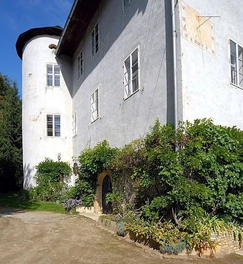 Hornstein Historic site, Krumpendorf am Wörthersee6.4 km W
-
Schrottkogel Mountain, Keutschach am See5.8 km SW
-
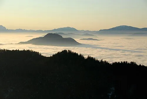 Ulrichsberg Mountain, St. Veit an der Glan7.4 km N
-
Predigtstuhl Mountain, Ebenthal in Kärnten5.6 km SE
-
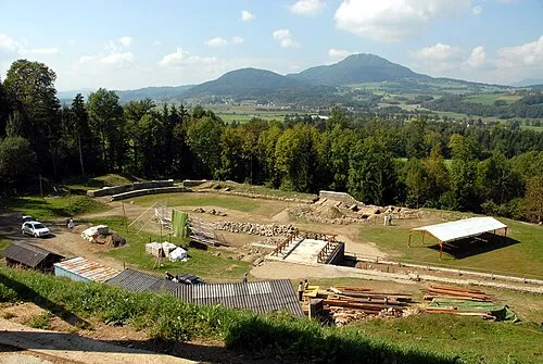 Virunum Historic site, Maria Saal8.9 km NE
Sources & licences
Data last updated: · 2 independent sources