- Elevation
- 1,947 m
- above sea level
- Local time
- UTC+01:00
- Europe/Vienna · UTC+01:00
- Airports
- SZG Salzburg Airport68 km
- INN Innsbruck Airport110 km
About Brechlsee
Brechlsee is a lake. Location: State of Salzburg, Austria. Elevation: 1,947 m. The nearest airport is Salzburg Airport (68 km). Nearby sights include Peilstein and Kandlspitze.
Photos of Brechlsee
-
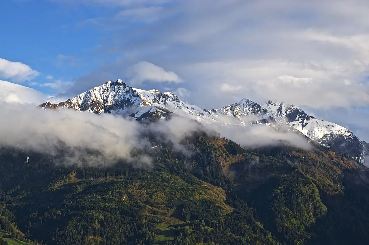
Rettenzink Ben Tatlow bentatlow · CC0 -
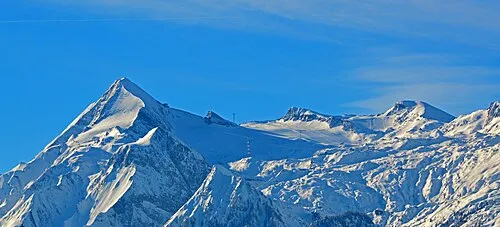
Hohe Kammer Wald1siedel · CC BY-SA 3.0 -
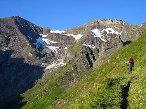
Kleiner Tenn Tigerente · CC BY-SA 4.0 -
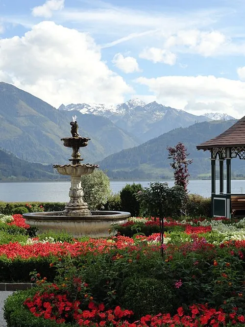
Schwarzkopf Cor2701 · CC BY 3.0 -
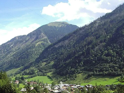
Langweid Kogel Joachim Köhler · CC BY-SA 3.0


Climate of Brechlsee
This month · November
A cold month
Day 0° · Night -7° · Rain 93 mm
- Hottest month
- July (day 14°)
- Coldest month
- January (night -11°)
- Wettest month
- July (171 mm)
- Driest month
- February (66 mm)
Bars: average monthly low and high temperature. Below: precipitation. Monthly averages for 1970–2000 at about 18 km resolution, adjusted for elevation. Highlighted months are mild and relatively dry. Source: WorldClim 2.1 (CC BY 4.0).
Show values as a table
| Month | Jan | Feb | Mar | Apr | May | Jun | Jul | Aug | Sep | Oct | Nov | Dec |
|---|---|---|---|---|---|---|---|---|---|---|---|---|
| Average high (°C) | -4° | -3° | 0° | 4° | 9° | 12° | 14° | 14° | 11° | 7° | 0° | -3° |
| Average low (°C) | -11° | -11° | -8° | -5° | 0° | 3° | 5° | 5° | 2° | -2° | -7° | -10° |
| Precipitation (mm) | 72 | 66 | 85 | 90 | 113 | 153 | 171 | 150 | 110 | 90 | 93 | 85 |
How to get to Brechlsee
The nearest airport is Salzburg Airport (SZG), 68 km to the north as the crow flies. The nearest large city is Salzburg, 69 km to the north.
Airports
- Salzburg Airport (SZG) Salzburg 68 kmnorth
- Innsbruck Airport (INN) Innsbruck 110 kmwest
- Klagenfurt Airport (KLU) Klagenfurt am Wörthersee 133 kmsoutheast
Nearby large cities
- Salzburg Population: 157.2K 69 kmnorth
- Innsbruck Population: 132.5K 107 kmwest
- Klagenfurt Population: 100.3K 131 kmsoutheast
- Munich Population: 1.5M 139 kmnorthwest
- Linz Population: 204.8K 166 kmnortheast
Straight-line distances; road distances are longer. Airport data: OurAirports.
Day trips from Brechlsee
Within 100 km: 213 historic and cultural sites, 4,294 natural sites, 1,103 lakes, rivers and coasts.
0–25 km662 places
- Fürlegsee Lake 16 kmSW
- Vorderer Langtalsee Lake 22 kmS
- Brandlsee Lake 4 kmNW
- Schmiedingersee Lake 8 kmW
25–60 km1,891 places
- Sille River 54 kmSW
- Eissee Lake 35 kmSW
- Kleiner Paarsee Lake 26 kmE
- Großer Paarsee Lake 26 kmE
60–100 km3,057 places
- Hoher Dachstein Mountain 68 kmNE
- Frauenchiemsee Island 80 kmN
- Herreninsel Island 79 kmN
- Seeriessee Lake 74 kmE
Straight-line distances.
Nearest towns and villages
-
Fusch an der Grossglocknerstrasse Municipality, Zell am See District3.9 km N
-
Taxenbacher-Fusch Village, Fusch an der Grossglocknerstrasse3.1 km E
-
Zeller-Fusch Neighbourhood, Fusch an der Grossglocknerstrasse3.7 km NE
-
Kaprun Municipality, Zell am See District5.5 km W
-
Bärenwirt Village, Fusch an der Grossglocknerstrasse2.2 km NE
-
Steg Village, Fusch an der Grossglocknerstrasse3.1 km NE
Nearby attractions & nature
Everything nearby-
Peilstein Mountain, Fusch an der Grossglocknerstrasse<0.1 km N
-
Kandlspitze Mountain, Fusch an der Grossglocknerstrasse<0.1 km N
-
Sulzenköpfl Mountain, Fusch an der Grossglocknerstrasse<0.1 km N
-
Heuwandspitze Mountain, Fusch an der Grossglocknerstrasse1.3 km E
-
Hinteres Streicheck Mountain, Fusch an der Grossglocknerstrasse1.3 km W
-
Lorenzkopf Mountain, Fusch an der Grossglocknerstrasse1.3 km W
-
Bratschenkopf Mountain, Fusch an der Grossglocknerstrasse1.3 km W
-
Zwingspitze Mountain, Fusch an der Grossglocknerstrasse1.3 km W
Sources & licences
Data last updated: