Mürzzuschlag
Situé dans Bruck-Mürzzuschlag District, Styrie Coordonnées: 47°36′41″ N 15°40′44″ E
Le nom de ce lieu n'a pas encore été vérifié dans cette langue ; il est affiché sous sa forme d'origine.
- Population
- 8 592
- 8,6 k
- Altitude
- 739 m
- au-dessus du niveau de la mer
- Heure locale
- UTC+01:00
- Europe/Vienna · UTC+01:00
- Lieux rattachés
- 19
- classés sous Mürzzuschlag
À propos : Mürzzuschlag
Mürzzuschlag est une commune. Situation : Bruck-Mürzzuschlag District, Styrie. Population : 8 592. Altitude : 739 m.
En comparaison
- Bruck-Mürzzuschlag District : n° 3 sur 19 lieux par population
- Localité plus grande la plus proche : Ternitz, à 28 km (NE)
- 31 sites et lieux naturels à moins de 10 km Fröschnitzbach, Ganz Bach
- Recensés ici : Village: 12, Montagne: 6, Petite ville: 1
Lieux : Mürzzuschlag
19 lieux-
Mürzzuschlag Petite ville6 k
-
Hönigsberg Village1,8 k
-
Schöneben Village187
-
Edlach Village141
-
Auersbach Village138
-
Lambach Village137
-
Ganz Village134
-
Pernreit Village88
-
Kohleben Village43
-
Eichhorntal Village22
-
Amundsenhöhe Montagne
-
Bärenkogel Montagne
-
Grosser Scheiben Berg Montagne
-
Große Scheibe Montagne
-
Gutenbrunn Village
-
Hauer Kogel Montagne
-
Kreuzschober Montagne
-
Pretul Village
-
Zimmersdorf Village
Sites et nature à proximité
Tout ce qui est proche-
Tratenkogel Montagne, Spital am Semmering3,8 km NE
-
Mahdtalkogel Montagne, Neuberg an der Mürz5,3 km NO
-
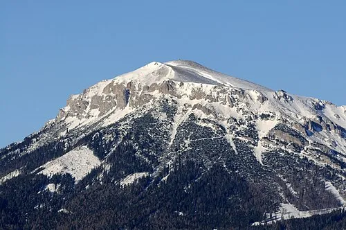 Heukuppe Montagne, Neuberg an der Mürz8 km N
-
Königskogel Montagne, Langenwang6,9 km S
-
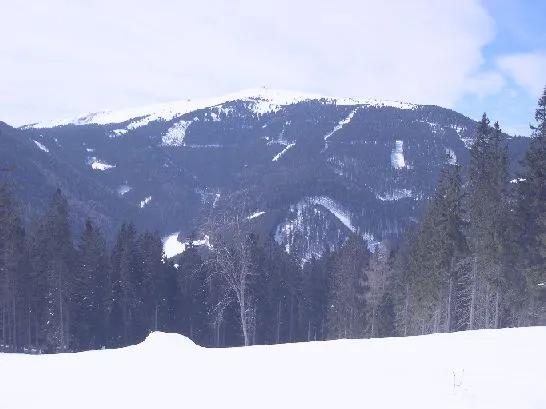 Stuhleck Montagne, Spital am Semmering9,3 km SE
-
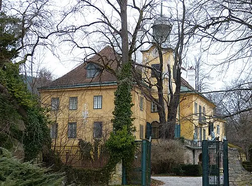 Schloss Feistritz Site historique, Langenwang8,7 km SO
-
Pretul Montagne, Langenwang8 km SE
-
Schloss Neuhohenwang Site historique, Langenwang7,7 km SO
Sources et licences
Données mises à jour le: