Kaunertal
Situé dans Landeck, Tyrol Coordonnées: 47°02′00″ N 10°45′00″ E
Le nom de ce lieu n'a pas encore été vérifié dans cette langue ; il est affiché sous sa forme d'origine.
- Population
- 597
- 597
- Altitude
- 1 301 m
- au-dessus du niveau de la mer
- Heure locale
- UTC+01:00
- Europe/Vienna · UTC+01:00
- Lieux rattachés
- 28
- classés sous Kaunertal
À propos : Kaunertal
Kaunertal est une commune. Situation : Landeck, Tyrol. Population : 597. Altitude : 1 301 m.
En comparaison
- Landeck : n° 22 sur 30 lieux par population
- Localité plus grande la plus proche : Ried im Oberinntal, à 6 km (O)
- 36 sites et lieux naturels à moins de 10 km Kaunsertal, Mooskopf
- Recensés ici : Montagne: 23, Village: 5
Lieux : Kaunertal
28 lieux-
Kaunertal Village597
-
Adams Kogl Montagne
-
Arzkarkopf Montagne
-
Blick Kopf Montagne
-
Blickspitze Montagne
-
Eiskasten Spitze Montagne
-
Feichten Village
-
Fluchtkogel Montagne
-
Glockturm Montagne
-
Grasse Village
-
Großer Dristkogel Montagne
-
Gsahlkopf Montagne
-
Habicht Montagne
-
Hauerkogel Montagne
-
Hintere Ölgrubenspitzen Montagne
-
Hohes Riff Montagne
-
Mooskopf Montagne
-
Nörderberg Montagne
-
Platz Village
-
Rifflerkar Spitze Montagne
-
Rofelwand Montagne
-
Rostitzkopf Montagne
-
Roter Schrofen Montagne
-
Schwabenkopf Montagne
-
Turm Montagne
-
Vergötschen Village
-
Watzespitze Montagne
-
Wazekopf Montagne
Sites et nature à proximité
Tout ce qui est proche-
Kaunsertal Site naturel, Tyrol2,2 km SO
-
Peischlkopf Montagne, Kaunerberg4,5 km NE
-
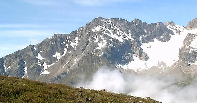 Gamezkogel Montagne, St. Leonhard im Pitztal6,3 km E
-
Schweikertkopf Montagne, St. Leonhard im Pitztal5,4 km E
-
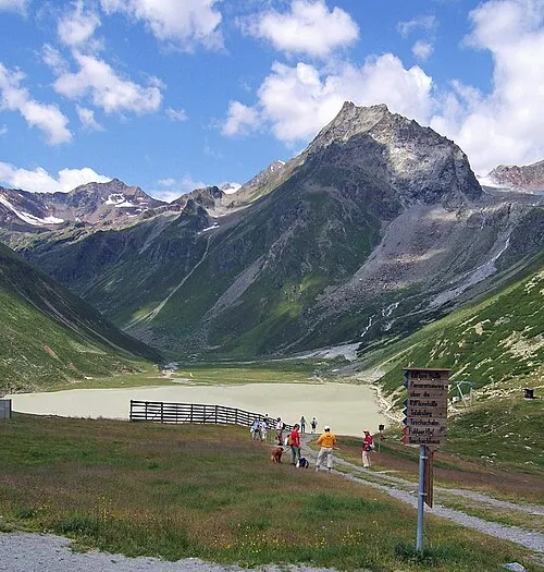 Seekogel Montagne, St. Leonhard im Pitztal8,3 km SE
-
Hohe Aifner Spitze Montagne, Kaunerberg8 km N
-
Serneskopf Montagne, Tösens9,4 km SO
-
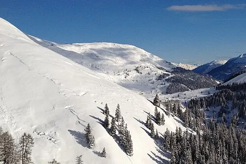 Schönjöchl Montagne, Fiss12 km O
Sources et licences
Données mises à jour le: