Pfunds
Situé dans Landeck, Tyrol Coordonnées: 46°56′56″ N 10°34′54″ E
Le nom de ce lieu n'a pas encore été vérifié dans cette langue ; il est affiché sous sa forme d'origine.
- Population
- 2 602
- 2,6 k
- Altitude
- 1 782 m
- au-dessus du niveau de la mer
- Heure locale
- UTC+01:00
- Europe/Vienna · UTC+01:00
- Lieux rattachés
- 39
- classés sous Pfunds
À propos : Pfunds
Pfunds est une commune. Situation : Landeck, Tyrol. Population : 2 602. Altitude : 1 782 m.
En comparaison
- Landeck : n° 5 sur 30 lieux par population
- Localité plus grande la plus proche : Fliess, à 19 km (N)
- 73 sites et lieux naturels à moins de 10 km Zonnenkopf, Tschey Bach
- Recensés ici : Montagne: 28, Village: 11
Lieux : Pfunds
39 lieux-
Pfunds Village2,6 k
-
Birchach Village
-
Bruchkopf Montagne
-
Brunnenwandkopf Montagne
-
Eggele Village
-
Frudigerjoch Montagne
-
Frudigerkopf Montagne
-
Gamskopf Montagne
-
Gamsköpfe Montagne
-
Gebhardspitze Montagne
-
Glockhaus Montagne
-
Greit Village
-
Hexenkopf Montagne
-
Hochjoch Montagne
-
Kaiserspitze Montagne
-
Kobl Village
-
Lafairs Village
-
Margreid Village
-
Masnerkopf Montagne
-
Muttler Montagne
-
Muttlerkopf Montagne
-
Platten Kopf Montagne
-
Platzerspitze Montagne
-
Rauchkopf Montagne
-
Rauher Kopf Montagne
-
Rauth Village
-
Rosskopf Montagne
-
Roter Schragen Montagne
-
Sankt Ulrichskopf Montagne
-
Schmalzkopf Montagne
-
Schwarze Wand Montagne
-
Schwarzseekopf Montagne
-
Stein Village
-
Stuben Village
-
Wand Village
-
Wanne Montagne
-
Wannenkopf Montagne
-
Wildnörder Montagne
-
Zonnenkopf Montagne
Sites et nature à proximité
Tout ce qui est proche-
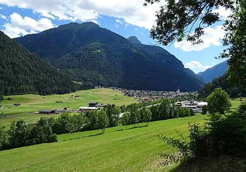 Ulrichskopf Montagne, Nauders3 km O
-
Gomoarkopf Montagne, Nauders5,9 km SO
-
Serneskopf Montagne, Tösens6,5 km NE
-
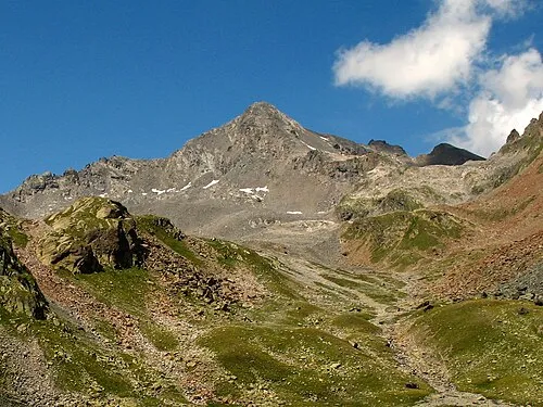 Glockturm Montagne, Kaunertal8,9 km SE
-
Kreuzjoch Montagne, Spiss9 km O
-
Pezidkopf Montagne, Serfaus9 km NO
Sources et licences
Données mises à jour le: