Sankt Anton am Arlberg
Situé dans Landeck, Tyrol Coordonnées: 47°04′57″ N 10°13′24″ E
- Population
- 2 353
- 2,4 k
- Altitude
- 2 169 m
- au-dessus du niveau de la mer
- Heure locale
- UTC+01:00
- Europe/Vienna · UTC+01:00
- Lieux rattachés
- 59
- classés sous Sankt Anton am Arlberg
À propos : Sankt Anton am Arlberg
Sankt Anton am Arlberg est une commune. Situation : Landeck, Tyrol. Population : 2 353. Altitude : 2 169 m.
En comparaison
- Landeck : n° 6 sur 30 lieux par population
- Localité plus grande la plus proche : Kappl, à 12 km (E)
- 122 sites et lieux naturels à moins de 10 km Hahnentrittkopf, Gr. Sulzbergkopf
- Recensés ici : Montagne: 52, Village: 6, Quartier: 1
Climat de Sankt Anton am Arlberg
| Mois | janv. | févr. | mars | avr. | mai | juin | juil. | août | sept. | oct. | nov. | déc. |
|---|---|---|---|---|---|---|---|---|---|---|---|---|
| Maximale moyenne (°C) | -4° | -3° | -1° | 1° | 6° | 10° | 13° | 13° | 10° | 6° | 0° | -3° |
| Minimale moyenne (°C) | -11° | -11° | -9° | -6° | -1° | 2° | 4° | 4° | 2° | -2° | -7° | -9° |
| Précipitations (mm) | 91 | 82 | 93 | 94 | 104 | 135 | 148 | 138 | 105 | 86 | 98 | 98 |
Moyennes mensuelles 1970–2000 à environ 18 km de résolution, corrigées selon l’altitude. Les mois mis en évidence sont doux et relativement secs. Source : WorldClim 2.1 (CC BY 4.0).
Aéroports les plus proches de Sankt Anton am Arlberg
- Sankt Gallen Altenrhein Airport (ACH) St. Gallen 67 km
- Bodensee Airport Friedrichshafen (FDH) Friedrichshafen 85 km
- Innsbruck Airport (INN) Innsbruck 87 km
Distance à vol d’oiseau ; uniquement les aéroports avec vols réguliers. Source : OurAirports (domaine public).
Lieux : Sankt Anton am Arlberg
59 lieux-
Saint Anton Village1,8 k
-
Sankt Jakob Village609
-
Augstenbergkopf Montagne
-
Bacher Montagne
-
Faselfad Spitze Montagne
-
Fasulspitze Montagne
-
Fasulzwillinge Montagne
-
Fraschkopf Montagne
-
Gaiserkopf Montagne
-
Galzig Montagne
-
Gampberg Montagne
-
Gamskar Spitze Montagne
-
Gr. Sulzbergkopf Montagne
-
Grüner Grat Montagne
-
Gstanskopf Montagne
-
Hahnentrittkopf Montagne
-
Hintere Rendlspitze Montagne
-
Hochkarspitze Montagne
-
Horn Montagne
-
Kapall Montagne
-
Karkopf Montagne
-
Kartell Kopf Montagne
-
Knödelkopf Montagne
-
Krachenspitze Montagne
-
Kuchenjöchli Montagne
-
Kuchen Spitze Montagne
-
Kuchlspitze Montagne
-
Maroiköpfe Montagne
-
Mitter Spitze Montagne
-
Moos Village
-
Nasserein Village
-
Obergand Village
-
Östlicher Maroikopf Montagne
-
Patteriol Montagne
-
Peischelkopf Montagne
-
Rautekopf Montagne
-
Riffel Spitze Montagne
-
Rosannagrat Montagne
-
Rugglespitze Montagne
-
Sankt Christoph am Arlberg Quartier
-
Sattelgrat Montagne
-
Sattelkopf Montagne
-
Saumspitze Montagne
-
Scheibler Montagne
-
Schönverwall Kopf Montagne
-
Seekopf Montagne
-
Sessladspitze Montagne
-
Stadle Village
-
Stubener Albonakopf Montagne
-
Stubner Albonakopf Montagne
-
Südlicher Schönpleis Kopf Montagne
-
Talliger Montagne
-
Vertinesberg Montagne
-
Volland Spitze Montagne
-
Vordere Rendlspitze Montagne
-
Walchererhöhe Montagne
-
Wildebene Montagne
-
Wirt Montagne
-
Zwölferkopf Montagne
Sites et nature à proximité
Tout ce qui est proche-
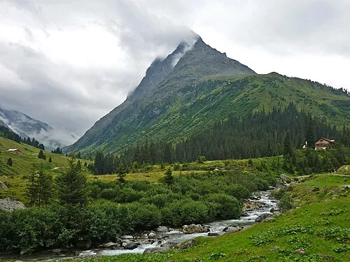 Verwalltal Site naturel, Tyrol1,8 km O
-
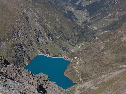 Moostal Site naturel, Tyrol2,8 km NE
-
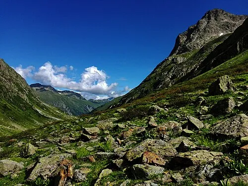 Fasultal Site naturel, Tyrol4 km SO
-
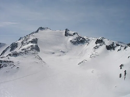 Kaltenberg Montagne, Klösterle6,5 km O
-
Drosberg Montagne, Tyrol6,7 km SO
-
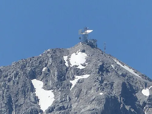 Valluga Montagne, Lech8,4 km N
-
Gafluner Winterjöchle Montagne, Silbertal7,1 km O
-
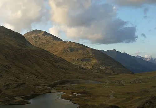 Valschavielkopf Montagne, Silbertal8,8 km SO
Sources et licences
Données mises à jour le: